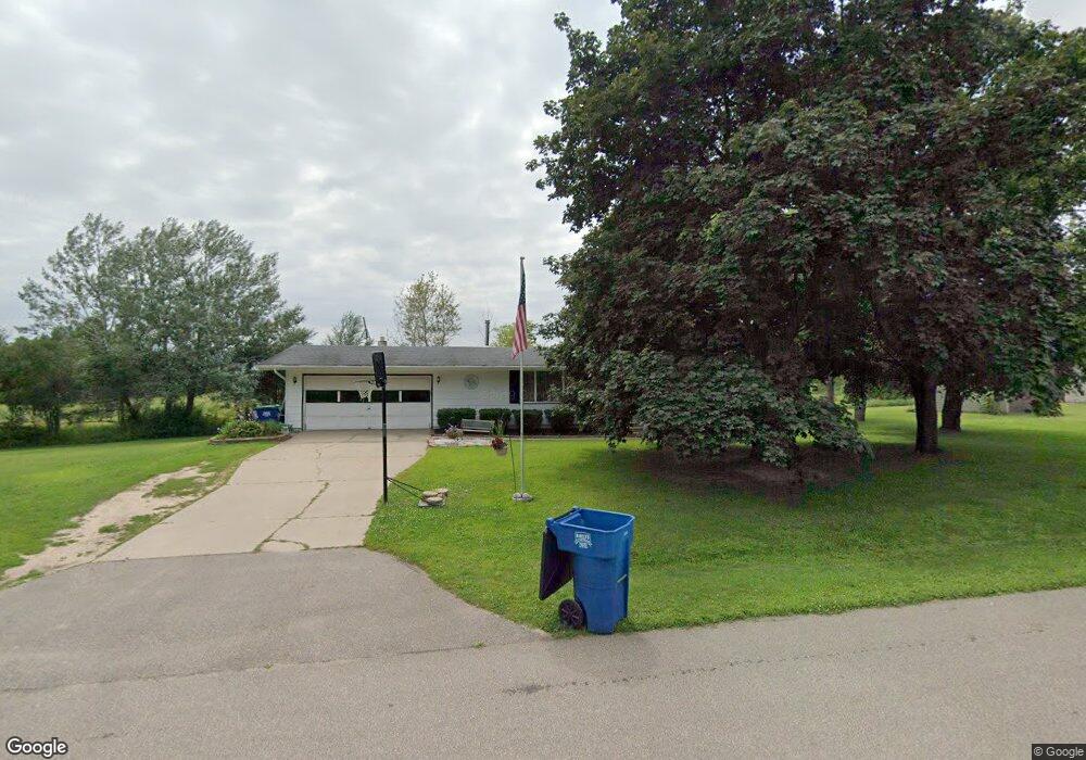
W7675 Poplar Rd Shawano, WI 54166
Estimated Value: $208,000 - $263,744
2
Beds
2
Baths
960
Sq Ft
$235/Sq Ft
Est. Value
About This Home
This home is located at W7675 Poplar Rd, Shawano, WI 54166 and is currently estimated at $225,436, approximately $234 per square foot. W7675 Poplar Rd is a home located in Shawano County with nearby schools including Hillcrest Primary School, Brener Elementary School, and Shawano Community Middle School.
Ownership History
Date
Name
Owned For
Owner Type
Purchase Details
Closed on
Apr 23, 2010
Sold by
Ray Tracy L
Bought by
Lowry Brian M
Current Estimated Value
Home Financials for this Owner
Home Financials are based on the most recent Mortgage that was taken out on this home.
Original Mortgage
$101,898
Outstanding Balance
$68,035
Interest Rate
5.05%
Estimated Equity
$157,401
Create a Home Valuation Report for This Property
The Home Valuation Report is an in-depth analysis detailing your home's value as well as a comparison with similar homes in the area
Home Values in the Area
Average Home Value in this Area
Purchase History
| Date | Buyer | Sale Price | Title Company |
|---|---|---|---|
| Lowry Brian M | $99,900 | Shawano Title Services Inc |
Source: Public Records
Mortgage History
| Date | Status | Borrower | Loan Amount |
|---|---|---|---|
| Open | Lowry Brian M | $101,898 |
Source: Public Records
Tax History Compared to Growth
Tax History
| Year | Tax Paid | Tax Assessment Tax Assessment Total Assessment is a certain percentage of the fair market value that is determined by local assessors to be the total taxable value of land and additions on the property. | Land | Improvement |
|---|---|---|---|---|
| 2024 | $2,291 | $163,700 | $42,100 | $121,600 |
| 2023 | $2,149 | $163,700 | $42,100 | $121,600 |
| 2022 | $1,648 | $80,600 | $13,200 | $67,400 |
| 2021 | $1,734 | $80,600 | $13,200 | $67,400 |
| 2020 | $1,565 | $80,600 | $13,200 | $67,400 |
| 2019 | $1,700 | $80,600 | $13,200 | $67,400 |
| 2018 | $1,660 | $80,600 | $13,200 | $67,400 |
| 2017 | $1,736 | $80,600 | $13,200 | $67,400 |
| 2016 | $1,697 | $80,600 | $13,200 | $67,400 |
| 2015 | $1,148 | $80,600 | $13,200 | $67,400 |
| 2014 | $105,748 | $71,800 | $13,200 | $58,600 |
| 2013 | $1,842 | $71,800 | $13,200 | $58,600 |
Source: Public Records
Map
Nearby Homes
- W7618 Poplar Rd
- W7571 County Road M
- N4860 Rose Brook Rd
- 606 W Stevens Ave
- 932 S Lafayette St
- 626 W 1st St
- 331 S Main St
- 315 S Main St
- 202 W Lieg Ave
- 0 Lafayette Unit 50317735
- 0 Lafayette Unit 50317737
- 414 N Lafayette St
- 672 Wolf River Ave
- W7910 Koeller Ln
- 313 E Center St
- 130 S Andrews St
- 0 S Andrews St
- 1046 S Sawyer St
- 519 N Main St
- 531 N Main St
- W7687 Poplar Rd
- W7676 Poplar Rd
- W7684 Poplar Rd
- w 7667 Poplar Rd
- W7667 Poplar Rd
- W7654 Poplar Rd
- W7690 Poplar Rd
- W7657 Poplar Rd
- W7694 Poplar Rd
- W7649 Poplar Rd
- W7640 Poplar Rd
- W7643 Poplar Rd
- N5184 Poplar Rd
- W7632 Poplar Rd
- W7631 Poplar Rd
- N5188 Poplar Rd
- W7628 Poplar Rd
- W7623 Poplar Rd
- w 7618 Poplar Rd
- N5191 Poplar Rd