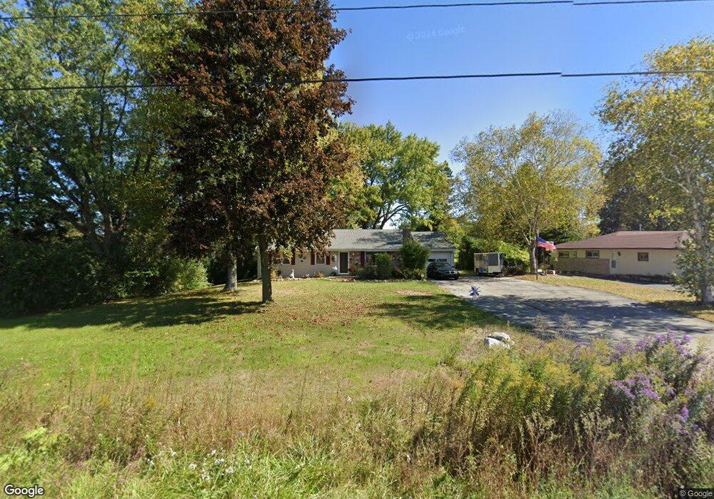
W76N1012 Wauwatosa Rd Cedarburg, WI 53012
Estimated Value: $307,000 - $398,000
--
Bed
--
Bath
--
Sq Ft
0.44
Acres
About This Home
This home is located at W76N1012 Wauwatosa Rd, Cedarburg, WI 53012 and is currently estimated at $372,283. W76N1012 Wauwatosa Rd is a home located in Ozaukee County with nearby schools including Cedarburg High School, First Immanuel Lutheran School, and Morningstar Montessori Inc.
Ownership History
Date
Name
Owned For
Owner Type
Purchase Details
Closed on
Oct 6, 2008
Sold by
Swonger Duane E and Clementi Swonger Susan A
Bought by
Schelvat Timothy W
Current Estimated Value
Home Financials for this Owner
Home Financials are based on the most recent Mortgage that was taken out on this home.
Original Mortgage
$155,600
Outstanding Balance
$103,371
Interest Rate
6.41%
Mortgage Type
New Conventional
Estimated Equity
$268,912
Create a Home Valuation Report for This Property
The Home Valuation Report is an in-depth analysis detailing your home's value as well as a comparison with similar homes in the area
Home Values in the Area
Average Home Value in this Area
Purchase History
| Date | Buyer | Sale Price | Title Company |
|---|---|---|---|
| Schelvat Timothy W | $194,500 | None Available |
Source: Public Records
Mortgage History
| Date | Status | Borrower | Loan Amount |
|---|---|---|---|
| Open | Schelvat Timothy W | $155,600 |
Source: Public Records
Tax History Compared to Growth
Tax History
| Year | Tax Paid | Tax Assessment Tax Assessment Total Assessment is a certain percentage of the fair market value that is determined by local assessors to be the total taxable value of land and additions on the property. | Land | Improvement |
|---|---|---|---|---|
| 2024 | $4,029 | $278,500 | $95,200 | $183,300 |
| 2023 | $3,709 | $278,500 | $95,200 | $183,300 |
| 2022 | $3,639 | $278,500 | $95,200 | $183,300 |
| 2021 | $3,419 | $199,300 | $86,500 | $112,800 |
| 2020 | $3,644 | $199,300 | $86,500 | $112,800 |
| 2019 | $3,571 | $199,300 | $86,500 | $112,800 |
| 2018 | $3,524 | $199,300 | $86,500 | $112,800 |
| 2017 | $3,492 | $199,300 | $86,500 | $112,800 |
| 2016 | $3,574 | $199,300 | $86,500 | $112,800 |
| 2015 | $3,480 | $199,300 | $86,500 | $112,800 |
| 2014 | $3,534 | $199,300 | $86,500 | $112,800 |
| 2013 | $3,706 | $199,300 | $86,500 | $112,800 |
Source: Public Records
Map
Nearby Homes
- 1111 Wauwatosa Rd
- W73N1025 Poplar Ave
- W72N1047 Hampton Ave
- N114W7191 Oakmont Dr
- W68N921 Washington Ave
- N105W6695 Stone Lake Cir Unit 5
- N106W6600 Stone Lake Cir Unit 9
- N106W6590 Stone Lake Cir Unit 10
- N77W7565 Chestnut St
- N105W6431 Stone Lake Cir Unit 32
- W67N786 Evergreen Blvd
- N105W6300 Brenton Ln
- N104W6262 Susan Ln
- N91W6149 Arbor Dr
- Lt1 Bridge Rd
- N111W5920 Carolyn Ct
- N111W5833 Carolyn Ct
- N69W6507 Bridge Rd
- 889 Horns Corners Rd
- 1339 Cedar Creek Pkwy
- W76N1002 Wauwatosa Rd
- N105W7515 Chatham St
- N106W7540 Chatham St
- N106W7380 Chatham St
- N106W7580 Chatham St
- N106W7490 Chatham St
- N106W7470 Chatham St
- N105W7325 Chatham St
- N105W7487 Chatham St
- N105W7555 Chatham St
- N105W7585 Chatham St
- 7540 Chatham St
- N104W7570 Saint James Ct
- W76N1082 Wauwatosa Rd
- W71N890 Harrison Ct Unit D
- W71N892 Harrison Ct
- W71N894 Harrison Ct
- W71N896 Harrison Ct
- W71N894 Harrison Ct Unit B
- N104W7530 Saint James Ct