W7799 State Road 68 Waupun, WI 53963
Estimated Value: $318,405
--
Bed
--
Bath
--
Sq Ft
10.03
Acres
About This Home
This home is located at W7799 State Road 68, Waupun, WI 53963 and is currently estimated at $318,405. W7799 State Road 68 is a home located in Dodge County with nearby schools including Meadow View Primary School, Rock River Intermediate School, and Waupun Area Junior High School.
Ownership History
Date
Name
Owned For
Owner Type
Purchase Details
Closed on
Oct 31, 2013
Sold by
Freriks Raymond G
Bought by
Buwalda Cottonwood Farms Llc
Current Estimated Value
Purchase Details
Closed on
Oct 22, 2013
Sold by
Freriks Jeffery G and Freriks Jacqualine A
Bought by
Freriks Raymond G and Freriks Bonnie
Purchase Details
Closed on
Nov 18, 2011
Sold by
Freriks Jeffery G and Freriks Jacqueline A
Bought by
Freriks Raymond G and Freriks Bonnie
Purchase Details
Closed on
Jul 26, 2010
Sold by
Freriks Raymond G and Freriks Bonnie
Bought by
Freriks Jeffrey G and Freriks Jacqueline A
Create a Home Valuation Report for This Property
The Home Valuation Report is an in-depth analysis detailing your home's value as well as a comparison with similar homes in the area
Home Values in the Area
Average Home Value in this Area
Purchase History
| Date | Buyer | Sale Price | Title Company |
|---|---|---|---|
| Buwalda Cottonwood Farms Llc | $140,000 | -- | |
| Freriks Raymond G | -- | None Available | |
| Freriks Raymond G | -- | -- | |
| Freriks Jeffrey G | -- | -- | |
| Buwalda Cottonwood Farms Llc | $1,000 | -- | |
| Freriks Jeffrey G | -- | -- |
Source: Public Records
Tax History Compared to Growth
Tax History
| Year | Tax Paid | Tax Assessment Tax Assessment Total Assessment is a certain percentage of the fair market value that is determined by local assessors to be the total taxable value of land and additions on the property. | Land | Improvement |
|---|---|---|---|---|
| 2024 | $2,660 | $175,200 | $31,100 | $144,100 |
| 2023 | $2,667 | $175,000 | $30,900 | $144,100 |
| 2022 | $2,700 | $175,100 | $31,000 | $144,100 |
| 2021 | $2,509 | $175,100 | $31,000 | $144,100 |
| 2020 | $2,671 | $175,200 | $31,100 | $144,100 |
| 2019 | $2,715 | $175,000 | $30,900 | $144,100 |
| 2018 | $2,793 | $175,000 | $30,900 | $144,100 |
| 2017 | $2,803 | $161,100 | $47,800 | $113,300 |
| 2016 | $2,833 | $161,100 | $47,800 | $113,300 |
| 2015 | $2,942 | $161,100 | $47,800 | $113,300 |
| 2014 | $3,098 | $161,200 | $47,900 | $113,300 |
Source: Public Records
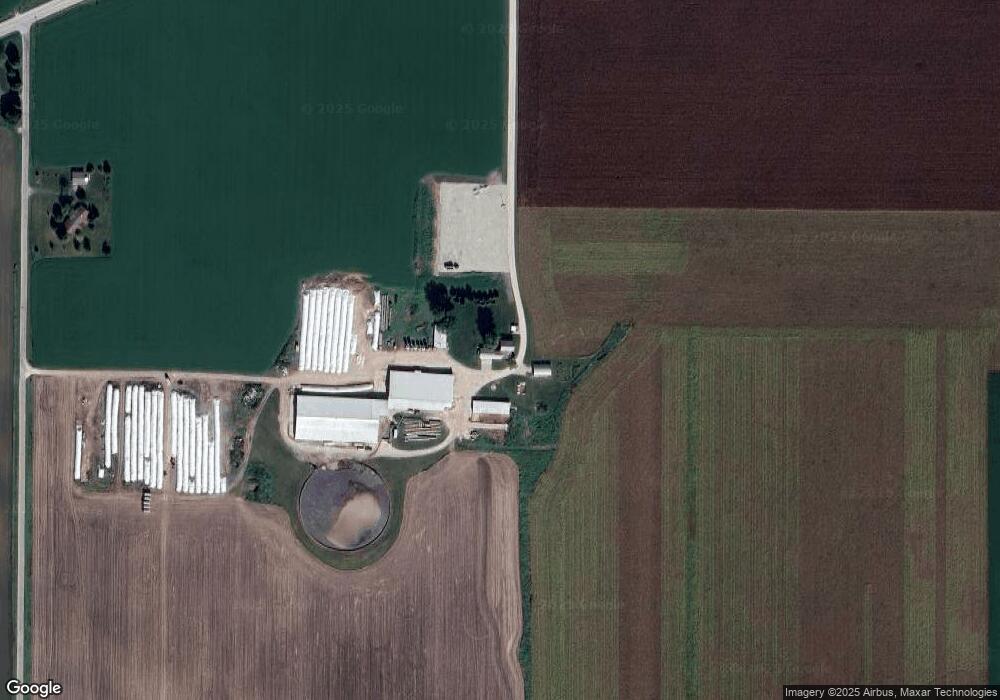
Map
Nearby Homes
- 17.92 Ac Pattee Dr
- 806 Rock River Ave
- 736 Fern St
- 517 W Jefferson St
- 295 Harmsen Ave
- 608 Beekman St
- 25 W Franklin St
- 614 Carrington St
- 315 E Main St
- 516 E Lincoln St
- 327 Carrington St
- 516 Doty St
- 231 Woodland Dr
- 134 N Watertown St
- 380 Fond du Lac St
- 18 Pluim Dr Unit 16
- 18 Pluim Dr Unit 13
- 395 Fond du Lac St
- W10397 Blackhawk Trail
- 305 E Crocker St