W7876 Hudson Rd Browntown, WI 53522
Estimated Value: $256,000 - $337,415
--
Bed
1
Bath
--
Sq Ft
6.18
Acres
About This Home
This home is located at W7876 Hudson Rd, Browntown, WI 53522 and is currently estimated at $300,805. W7876 Hudson Rd is a home located in Green County.
Ownership History
Date
Name
Owned For
Owner Type
Purchase Details
Closed on
Dec 15, 2017
Sold by
Daniels Montana H
Bought by
Haug Mitchell R and Scheider Kaitlyn R
Current Estimated Value
Home Financials for this Owner
Home Financials are based on the most recent Mortgage that was taken out on this home.
Original Mortgage
$142,400
Outstanding Balance
$119,888
Interest Rate
3.94%
Mortgage Type
New Conventional
Estimated Equity
$180,917
Purchase Details
Closed on
Aug 19, 2011
Sold by
Emberson A Roland and Emberson Joan K
Bought by
Daniels Montana H
Create a Home Valuation Report for This Property
The Home Valuation Report is an in-depth analysis detailing your home's value as well as a comparison with similar homes in the area
Home Values in the Area
Average Home Value in this Area
Purchase History
| Date | Buyer | Sale Price | Title Company |
|---|---|---|---|
| Haug Mitchell R | $178,000 | None Available | |
| Daniels Montana H | $145,000 | None Available |
Source: Public Records
Mortgage History
| Date | Status | Borrower | Loan Amount |
|---|---|---|---|
| Open | Haug Mitchell R | $142,400 |
Source: Public Records
Tax History Compared to Growth
Tax History
| Year | Tax Paid | Tax Assessment Tax Assessment Total Assessment is a certain percentage of the fair market value that is determined by local assessors to be the total taxable value of land and additions on the property. | Land | Improvement |
|---|---|---|---|---|
| 2024 | $2,593 | $131,300 | $32,300 | $99,000 |
| 2023 | $2,620 | $131,300 | $32,300 | $99,000 |
| 2022 | $2,467 | $131,300 | $32,300 | $99,000 |
| 2021 | $2,286 | $131,300 | $32,300 | $99,000 |
| 2020 | $2,420 | $131,200 | $32,200 | $99,000 |
| 2019 | $2,398 | $131,200 | $32,200 | $99,000 |
| 2018 | $2,383 | $131,200 | $32,200 | $99,000 |
| 2017 | $2,471 | $131,200 | $32,200 | $99,000 |
| 2016 | $2,558 | $131,200 | $32,200 | $99,000 |
| 2014 | $2,473 | $131,200 | $32,200 | $99,000 |
Source: Public Records
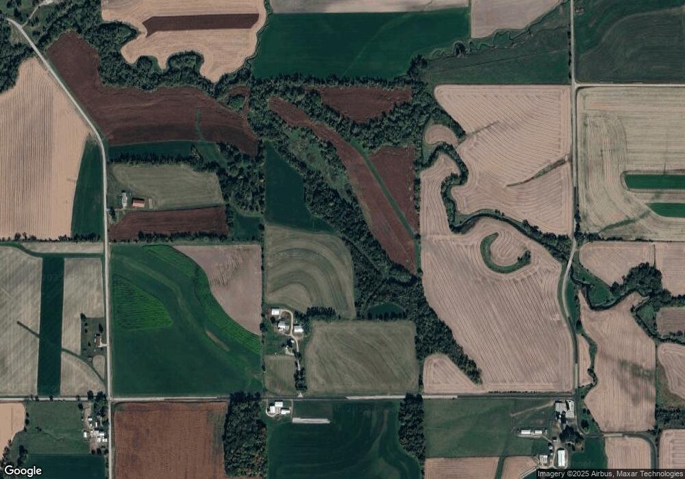
Map
Nearby Homes
- TBD Miller Rd
- 12934 N Damascus Rd
- W8192 Pilz Rd
- W8194 Pilz Rd
- 619 Bridge St
- N2090 Allen Rd
- 204 Carver St
- 430 Hubbard St
- 437 Hubbard St
- 439 Hubbard St
- 000 County Highway M
- N2202 Cadiz Springs Rd
- 360 S Church St
- 12150 N Damascus Rd
- 113 S Liberty St
- W7880 Wisconsin 11
- Lot 3 Rd
- N2451 Ullom Rd Unit 20
- Lot 1 Alphorn Rd
- W6430 Patterson Rd
- W7876 Hudson Rd
- N733 Allen Rd
- N930 Allen Rd
- 0 80 Acres County Hwy P
- W7808 County Road P
- W7808 County Road P
- N941 Allen Rd
- 17.38 Ac Allen Rd
- N1012 Ullom Rd
- 7843 County Road P
- 7843 County Road P
- W7843 County Road P
- W7994 County Road P
- W8203 Hudson Rd
- W8048 County Road B
- W8048 County Road P
- 1.25 Ac Wolf Rd County Road P