W8092 State Road 106 Fort Atkinson, WI 53538
Estimated Value: $522,000 - $787,379
--
Bed
--
Bath
--
Sq Ft
40.55
Acres
About This Home
This home is located at W8092 State Road 106, Fort Atkinson, WI 53538 and is currently estimated at $607,595. W8092 State Road 106 is a home with nearby schools including Barrie Elementary School, Fort Atkinson Middle School, and Fort Atkinson High School.
Ownership History
Date
Name
Owned For
Owner Type
Purchase Details
Closed on
Aug 25, 2021
Sold by
Holloway Lisa A
Bought by
Holloway Lisa A and Holloway John
Current Estimated Value
Home Financials for this Owner
Home Financials are based on the most recent Mortgage that was taken out on this home.
Original Mortgage
$425,000
Interest Rate
2.7%
Mortgage Type
New Conventional
Create a Home Valuation Report for This Property
The Home Valuation Report is an in-depth analysis detailing your home's value as well as a comparison with similar homes in the area
Home Values in the Area
Average Home Value in this Area
Purchase History
| Date | Buyer | Sale Price | Title Company |
|---|---|---|---|
| Holloway Lisa A | -- | Knight Barry Title |
Source: Public Records
Mortgage History
| Date | Status | Borrower | Loan Amount |
|---|---|---|---|
| Closed | Holloway Lisa A | $425,000 |
Source: Public Records
Tax History Compared to Growth
Tax History
| Year | Tax Paid | Tax Assessment Tax Assessment Total Assessment is a certain percentage of the fair market value that is determined by local assessors to be the total taxable value of land and additions on the property. | Land | Improvement |
|---|---|---|---|---|
| 2024 | $7,104 | $343,200 | $88,100 | $255,100 |
| 2023 | $6,585 | $321,100 | $88,000 | $233,100 |
| 2022 | $7,105 | $321,100 | $88,000 | $233,100 |
| 2021 | $6,449 | $321,100 | $88,000 | $233,100 |
| 2020 | $6,083 | $321,300 | $88,200 | $233,100 |
| 2019 | $5,674 | $321,100 | $88,000 | $233,100 |
| 2018 | $5,578 | $321,400 | $88,300 | $233,100 |
| 2017 | $4,951 | $314,100 | $88,100 | $226,000 |
| 2016 | $5,376 | $313,900 | $87,900 | $226,000 |
| 2015 | $5,108 | $313,900 | $87,900 | $226,000 |
| 2014 | $5,251 | $314,100 | $88,100 | $226,000 |
| 2013 | $5,857 | $314,100 | $88,100 | $226,000 |
Source: Public Records
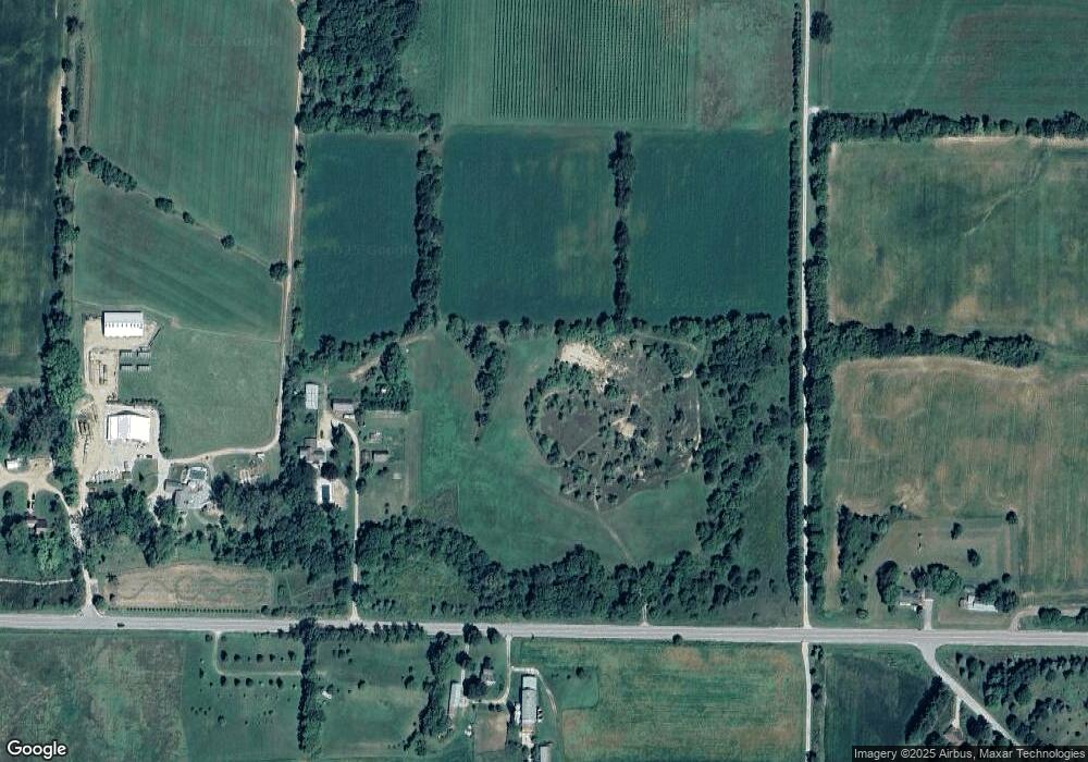
Map
Nearby Homes
- W7742 Lamp Rd
- W8738 White Crow Rd
- 1709 Montclair Place
- 1612 Commonwealth Dr Unit 3
- Lt40 Montclair Place
- N2403 E Rockdale Rd
- 1233 Sherman Ave W
- 1222 Sherman Ave W Unit P
- 1220 Sherman Ave W
- N875 Eagle Ridge Dr
- N799 Waubunsee Trail Unit 1
- N878 Eagle Ridge Dr
- N874 Eagle Ridge Dr
- N888 Eagle Ridge Dr
- N884 Eagle Ridge Dr
- N856 Eagle Ridge Dr
- N867 Eagle Ridge Dr
- N862 Eagle Ridge Dr
- N835 Eagle Ridge Dr
- 1120 Van Buren St
- N2312 Becker Rd
- N2315 Becker Rd
- W8175 State Road 106
- W8002 State Road 106
- W7980 Hwy 106
- W8004 State Road 106
- w 7946 Poutsch Rd
- W7946 Poutch Rd
- W7969 Poutch Rd
- W7923 State Road 106
- N2360 Kreutz Rd
- W7978 State Road 106
- W7924 Poutch Rd
- W8003 State Road 106
- W8189 E Grove Rd
- N2372 Kreutz Rd
- N2392 Kreutz Rd
- W7910 Poutch Rd
- W8195 E Grove Rd
- N2404 Kreutz Rd