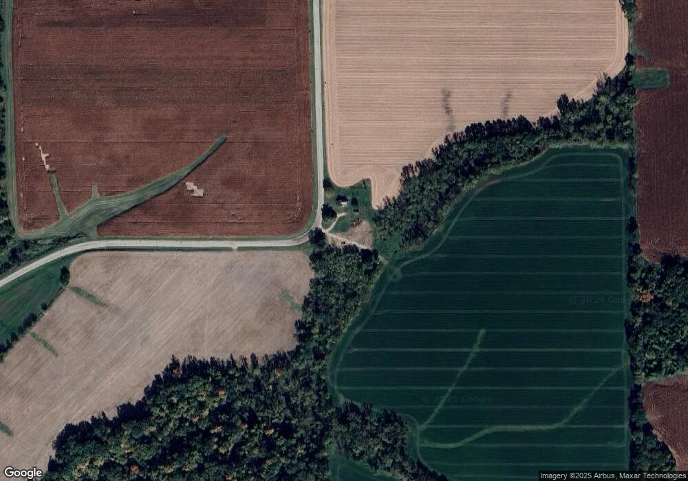
W8097 County Road P Browntown, WI 53522
Estimated Value: $91,000 - $197,000
--
Bed
--
Bath
--
Sq Ft
3.31
Acres
About This Home
This home is located at W8097 County Road P, Browntown, WI 53522 and is currently estimated at $157,071. W8097 County Road P is a home.
Create a Home Valuation Report for This Property
The Home Valuation Report is an in-depth analysis detailing your home's value as well as a comparison with similar homes in the area
Home Values in the Area
Average Home Value in this Area
Tax History Compared to Growth
Tax History
| Year | Tax Paid | Tax Assessment Tax Assessment Total Assessment is a certain percentage of the fair market value that is determined by local assessors to be the total taxable value of land and additions on the property. | Land | Improvement |
|---|---|---|---|---|
| 2024 | $1,881 | $88,800 | $27,600 | $61,200 |
| 2023 | $1,947 | $88,800 | $27,600 | $61,200 |
| 2022 | $1,822 | $88,800 | $27,600 | $61,200 |
| 2021 | $1,692 | $88,800 | $27,600 | $61,200 |
| 2020 | $1,734 | $88,800 | $27,600 | $61,200 |
| 2019 | $1,736 | $88,800 | $27,600 | $61,200 |
| 2018 | $1,711 | $88,800 | $27,600 | $61,200 |
| 2017 | $1,740 | $88,800 | $27,600 | $61,200 |
| 2016 | $1,806 | $88,800 | $27,600 | $61,200 |
| 2014 | $1,731 | $88,800 | $27,600 | $61,200 |
Source: Public Records
Map
Nearby Homes
- 240 Carver St
- 204 Carver St
- 430 Hubbard St
- 437 Hubbard St
- 439 Hubbard St
- TBD Miller Rd
- 12934 N Damascus Rd
- W8940 County Highway B
- 12150 N Damascus Rd
- W8192 Pilz Rd
- W8194 Pilz Rd
- 000 County Highway M
- N2090 Allen Rd
- 360 S Church St
- N2202 Cadiz Springs Rd
- 4544 W Orangeville Rd
- N2068 Alphorn Rd
- 4592 W Mcconnell Rd
- Lot 1 Alphorn Rd
- N2451 Ullom Rd Unit 20