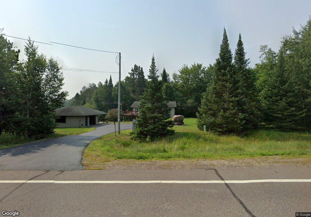
W8147 State Road 86 Tomahawk, WI 54487
Estimated Value: $330,237 - $509,000
Studio
--
Bath
--
Sq Ft
68,389
Sq Ft
About This Home
This home is located at W8147 State Road 86, Tomahawk, WI 54487 and is currently estimated at $433,309. W8147 State Road 86 is a home located in Lincoln County with nearby schools including Tomahawk Elementary School, Tomahawk Middle School, and Tomahawk High School.
Ownership History
Date
Name
Owned For
Owner Type
Purchase Details
Closed on
Nov 28, 2018
Sold by
Kwas Katie S
Bought by
Brennan Robert G and Mueller Sue
Current Estimated Value
Home Financials for this Owner
Home Financials are based on the most recent Mortgage that was taken out on this home.
Original Mortgage
$145,000
Outstanding Balance
$124,905
Interest Rate
3.75%
Mortgage Type
Construction
Estimated Equity
$308,404
Create a Home Valuation Report for This Property
The Home Valuation Report is an in-depth analysis detailing your home's value as well as a comparison with similar homes in the area
Purchase History
| Date | Buyer | Sale Price | Title Company |
|---|---|---|---|
| Brennan Robert G | $185,000 | Knight Barry Title Svcs Llc |
Source: Public Records
Mortgage History
| Date | Status | Borrower | Loan Amount |
|---|---|---|---|
| Open | Brennan Robert G | $145,000 |
Source: Public Records
Tax History
| Year | Tax Paid | Tax Assessment Tax Assessment Total Assessment is a certain percentage of the fair market value that is determined by local assessors to be the total taxable value of land and additions on the property. | Land | Improvement |
|---|---|---|---|---|
| 2024 | $2,498 | $172,300 | $59,400 | $112,900 |
| 2023 | $2,312 | $172,300 | $59,400 | $112,900 |
| 2022 | $2,388 | $172,300 | $59,400 | $112,900 |
| 2021 | $2,434 | $172,300 | $59,400 | $112,900 |
| 2020 | $2,434 | $172,300 | $59,400 | $112,900 |
| 2019 | $2,704 | $172,300 | $59,400 | $112,900 |
| 2018 | $2,383 | $167,200 | $59,400 | $107,800 |
| 2017 | $2,489 | $167,200 | $59,400 | $107,800 |
| 2016 | $2,299 | $175,200 | $59,400 | $115,800 |
| 2015 | $2,504 | $175,200 | $59,400 | $115,800 |
| 2014 | -- | $175,200 | $59,400 | $115,800 |
| 2013 | -- | $175,200 | $59,400 | $115,800 |
| 2011 | -- | $175,200 | $59,400 | $115,800 |
Source: Public Records
Map
Nearby Homes
- N9210 Sanctuary Rd
- N9255 Sanctuary Rd
- W7448 Cth O
- 3-9811 Deer Trail
- 1-9811 Deer Trail
- 4-9811 Deer Trail
- W7456 Coffee Creek Rd
- Lot 9 Somo Dam Dr
- W7522 Hillside Rd
- Lot 1 Somo Ridge Dr
- Lot 46 Whitetailed Deer Dr
- Lot 21 Whitetailed Deer Dr
- N10438 Jones Rd
- N8105 Swamp Rd
- Lot 13 Pfeifer Rd
- ON Pfeifer Rd Unit Lot 21
- W6531 Cth O
- 715 Leather Ct
- 0 Swamp Rd
- ON County Rd E Unit 8426-2
- N9276 Narrow Pathway
- N9258 Narrow Pathway
- n 9258 Narrow Path Way
- N9254 Narrow Pathway
- N9244 Narrow Pathway
- n 9198 Narrow Path Way
- 155 Wisconsin 86
- W8280 State Road 86
- N9198 Narrow Pathway
- N9356 Back Water Heights
- Lot 2 Sanctuary Rd
- Lot 1 Sanctuary Rd
- Lot 3 Sanctuary Rd
- Lot 13 Sanctuary Rd
- ON Sanctuary Rd
- N9315 Wilderness Dr
- N9323 Wilderness Dr
- N9331 Wilderness Dr
- N9187 Sanctuary Rd
- N9255 Sanctuary Rd
Your Personal Tour Guide
Ask me questions while you tour the home.