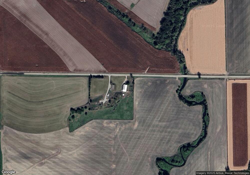
W8203 Hudson Rd Browntown, WI 53522
Estimated Value: $271,000 - $441,000
--
Bed
--
Bath
--
Sq Ft
7.13
Acres
About This Home
This home is located at W8203 Hudson Rd, Browntown, WI 53522 and is currently estimated at $355,517. W8203 Hudson Rd is a home located in Green County.
Ownership History
Date
Name
Owned For
Owner Type
Purchase Details
Closed on
Aug 13, 2008
Sold by
Hudson Keith F and Hudson Kathleen E
Bought by
Milliken Brad
Current Estimated Value
Create a Home Valuation Report for This Property
The Home Valuation Report is an in-depth analysis detailing your home's value as well as a comparison with similar homes in the area
Home Values in the Area
Average Home Value in this Area
Purchase History
| Date | Buyer | Sale Price | Title Company |
|---|---|---|---|
| Milliken Brad | $65,000 | None Available |
Source: Public Records
Tax History Compared to Growth
Tax History
| Year | Tax Paid | Tax Assessment Tax Assessment Total Assessment is a certain percentage of the fair market value that is determined by local assessors to be the total taxable value of land and additions on the property. | Land | Improvement |
|---|---|---|---|---|
| 2024 | $3,650 | $169,900 | $21,400 | $148,500 |
| 2023 | $3,787 | $169,900 | $21,400 | $148,500 |
| 2022 | $3,549 | $169,900 | $21,400 | $148,500 |
| 2021 | $3,292 | $169,900 | $21,400 | $148,500 |
| 2020 | $3,372 | $169,900 | $21,400 | $148,500 |
| 2019 | $3,374 | $169,800 | $21,300 | $148,500 |
| 2018 | $3,340 | $169,900 | $21,400 | $148,500 |
| 2017 | $3,400 | $169,900 | $21,400 | $148,500 |
| 2016 | $3,526 | $169,800 | $21,300 | $148,500 |
| 2014 | $3,373 | $169,800 | $21,300 | $148,500 |
Source: Public Records
Map
Nearby Homes
- TBD Miller Rd
- W8940 County Highway B
- 240 Carver St
- 204 Carver St
- 430 Hubbard St
- 437 Hubbard St
- 439 Hubbard St
- 000 County Highway M
- W8192 Pilz Rd
- W8194 Pilz Rd
- N2090 Allen Rd
- 12934 N Damascus Rd
- 360 S Church St
- N2202 Cadiz Springs Rd
- 12150 N Damascus Rd
- 139.57 AC County Road M
- N2451 Ullom Rd Unit 20
- 000 County Road M
- W6556 Platinum Dr
- W6430 Patterson Rd