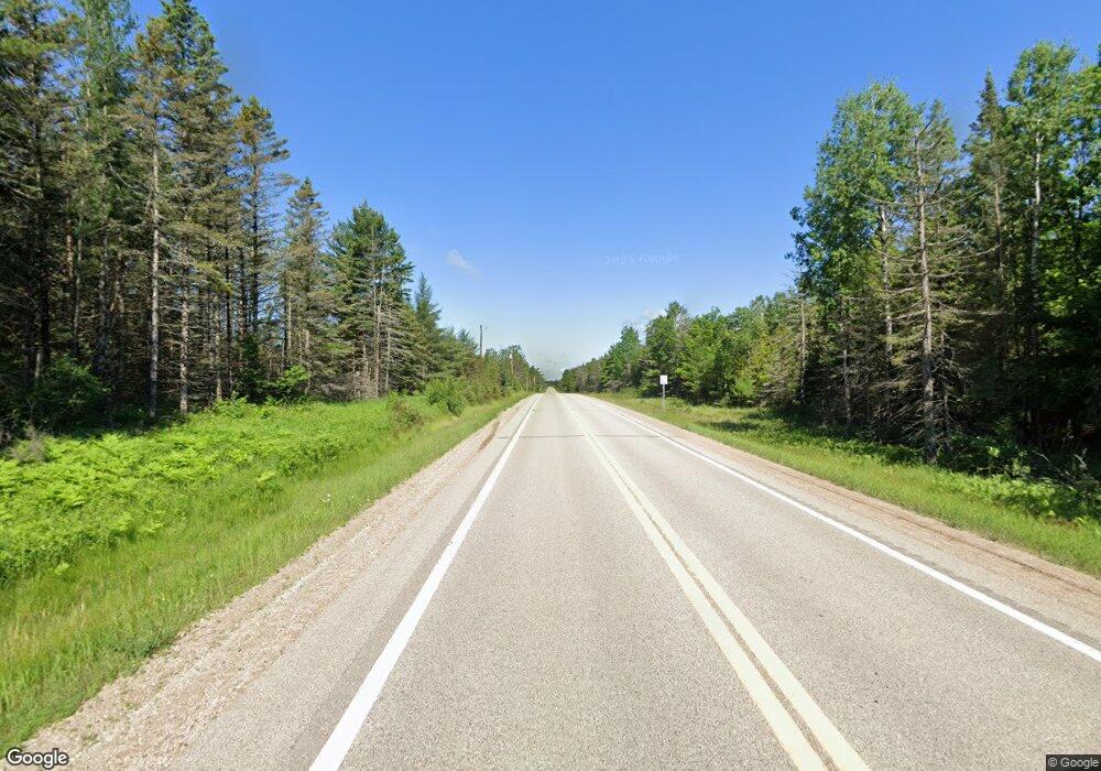
W892 State Highway M69 Perronville, MI 49873
Estimated Value: $124,000 - $204,344
3
Beds
1
Bath
1,248
Sq Ft
$141/Sq Ft
Est. Value
About This Home
This home is located at W892 State Highway M69, Perronville, MI 49873 and is currently estimated at $176,448, approximately $141 per square foot. W892 State Highway M69 is a home with nearby schools including Bark River-Harris Elementary School and Bark River-Harris Jr/Sr High School.
Ownership History
Date
Name
Owned For
Owner Type
Purchase Details
Closed on
Nov 30, 2023
Sold by
Farrell Nancy
Bought by
Welch Paige
Current Estimated Value
Purchase Details
Closed on
Jul 23, 2012
Sold by
Farrell Timothy and Farrell Nancy
Bought by
Farrell Timothy and Farrell Nancy
Purchase Details
Closed on
Jun 9, 2012
Sold by
Farrell Timothy and Farrell Nancy
Bought by
Farrell Timothy and Farrell Nancy
Purchase Details
Closed on
Apr 12, 2012
Sold by
Farrell Timothy and Farrell Nancy
Bought by
Farrell Timothy and Farrell Nancy
Create a Home Valuation Report for This Property
The Home Valuation Report is an in-depth analysis detailing your home's value as well as a comparison with similar homes in the area
Home Values in the Area
Average Home Value in this Area
Purchase History
| Date | Buyer | Sale Price | Title Company |
|---|---|---|---|
| Welch Paige | $75,000 | -- | |
| Farrell Timothy | -- | -- | |
| Farrell Timothy | $100 | -- | |
| Farrell Timothy | -- | -- |
Source: Public Records
Tax History Compared to Growth
Tax History
| Year | Tax Paid | Tax Assessment Tax Assessment Total Assessment is a certain percentage of the fair market value that is determined by local assessors to be the total taxable value of land and additions on the property. | Land | Improvement |
|---|---|---|---|---|
| 2025 | $1,894 | $76,100 | $5,500 | $70,600 |
| 2024 | $733 | $65,100 | $10,000 | $55,100 |
| 2023 | $256 | $51,541 | $51,541 | $0 |
| 2022 | $256 | $51,541 | $51,541 | $0 |
| 2021 | $256 | $41,000 | $4,800 | $36,200 |
| 2020 | $256 | $46,647 | $0 | $0 |
| 2019 | -- | $46,603 | $0 | $0 |
| 2018 | -- | $44,234 | $44,234 | $0 |
| 2017 | -- | $44,531 | $44,531 | $0 |
| 2016 | -- | $43,170 | $0 | $0 |
| 2015 | -- | $43,170 | $0 | $0 |
| 2014 | -- | $37,006 | $37,006 | $0 |
| 2013 | $256 | $37,131 | $0 | $0 |
Source: Public Records
Map
Nearby Homes
- W715 Rd
- 1907 17th Rd
- 21041 N Pach F-1 Ln
- TBD Ln
- TBD Triple Creek Rd
- 703 Michigan Ave
- TBD County Line Rd
- 4484 D 15
- N11962 29 60 Ln
- 4047 D Rd
- TBD Off River Rd "South 40" Rd
- TBD Off River Road North 40 Rd
- V/L I Rd
- TBD 13 75
- TBD Danforth M 2 Blvd
- TBD 19th Ln
- 3910 20th Rd Co 426 Rd
- xxx County Rd Unit SAE
- 3549 D Rd
- 8804 County 416 J Rd
- W891 State Highway M69
- N19151 County Road 551
- W895 Mazur Rd
- W860 Michigan 69
- N19116 County Road 551
- W849 State Highway M69
- N19107 County Rd 551
- W1111 State Highway M69
- W970 G 30 Rd
- W741 State Highway M69
- W615 State Highway M69
- N19025 County Road 551
- W810 G-30 Rd
- W756 Mazur Rd
- W808 G 30 Rd
- W742 State Highway M69
- W808 Highway M-69
- N19232 Janik Lane Number 48
- W860 State Highway M69
- W860 State Highway M69
