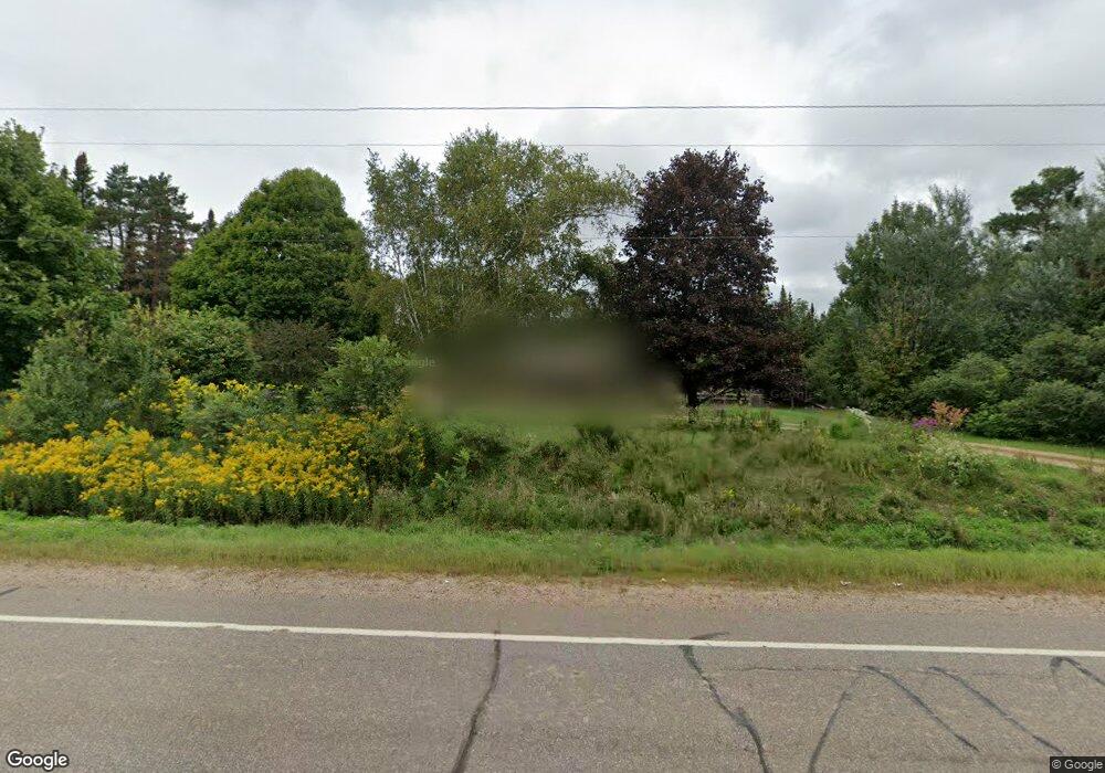
W9254 State Highway 47 Antigo, WI 54409
Estimated Value: $267,254 - $338,000
--
Bed
--
Bath
--
Sq Ft
20
Acres
About This Home
This home is located at W9254 State Highway 47, Antigo, WI 54409 and is currently estimated at $315,564. W9254 State Highway 47 is a home located in Langlade County with nearby schools including Antigo High School, Peace Lutheran School, and All Saints Catholic School.
Ownership History
Date
Name
Owned For
Owner Type
Purchase Details
Closed on
Jan 16, 2012
Sold by
Lother Judith M and Schmiester Michael G
Bought by
Bauknecht Andrew and Bauknecht Bethany
Current Estimated Value
Home Financials for this Owner
Home Financials are based on the most recent Mortgage that was taken out on this home.
Original Mortgage
$116,400
Outstanding Balance
$79,800
Interest Rate
3.98%
Estimated Equity
$235,764
Create a Home Valuation Report for This Property
The Home Valuation Report is an in-depth analysis detailing your home's value as well as a comparison with similar homes in the area
Home Values in the Area
Average Home Value in this Area
Purchase History
| Date | Buyer | Sale Price | Title Company |
|---|---|---|---|
| Bauknecht Andrew | -- | Langlade Abstract & Title, C |
Source: Public Records
Mortgage History
| Date | Status | Borrower | Loan Amount |
|---|---|---|---|
| Open | Bauknecht Andrew | $116,400 |
Source: Public Records
Tax History Compared to Growth
Tax History
| Year | Tax Paid | Tax Assessment Tax Assessment Total Assessment is a certain percentage of the fair market value that is determined by local assessors to be the total taxable value of land and additions on the property. | Land | Improvement |
|---|---|---|---|---|
| 2024 | $2,271 | $179,000 | $39,300 | $139,700 |
| 2023 | $2,017 | $133,400 | $33,200 | $100,200 |
| 2022 | $1,831 | $133,300 | $33,100 | $100,200 |
| 2021 | $1,933 | $133,300 | $33,100 | $100,200 |
| 2020 | $1,971 | $127,100 | $24,100 | $103,000 |
| 2019 | $1,776 | $127,600 | $24,600 | $103,000 |
| 2018 | $2,005 | $127,600 | $24,600 | $103,000 |
| 2017 | $1,861 | $127,500 | $24,500 | $103,000 |
| 2016 | $1,856 | $127,600 | $24,600 | $103,000 |
| 2015 | $1,922 | $127,500 | $24,500 | $103,000 |
| 2014 | $1,915 | $127,500 | $24,500 | $103,000 |
| 2013 | $1,997 | $127,500 | $24,500 | $103,000 |
Source: Public Records
Map
Nearby Homes
- N2797 County Road Aa
- N261 Maple Rd
- N2740 Orchard Rd
- 2500 N Cth Aa
- N2681 County Rd S
- N2790 Crestwood Rd
- W9357 Forrest Rd
- N2820 Stoney Rd
- W9393 E 10th Avenue Rd
- W9033 Forrest Rd
- N2530 Hill Rd
- N2471 Us Highway 45 S
- W9529 Mapleview Rd
- W9186 N Rollwood Rd
- N2447 Maple Rd
- W9617 County Road F
- W9616 County Road F
- N2783 County Road Aa
- W9171 N Rollwood Rd
- N2880 Orchard Rd