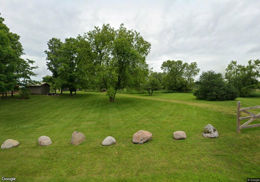
W9396 N Rollwood Rd Antigo, WI 54409
Estimated Value: $349,467 - $366,000
--
Bed
--
Bath
--
Sq Ft
39.94
Acres
About This Home
This home is located at W9396 N Rollwood Rd, Antigo, WI 54409 and is currently estimated at $356,489. W9396 N Rollwood Rd is a home located in Langlade County with nearby schools including Antigo High School.
Ownership History
Date
Name
Owned For
Owner Type
Purchase Details
Closed on
Jun 18, 2021
Sold by
William Filbert
Bought by
White Rock Farm Llc
Current Estimated Value
Purchase Details
Closed on
Oct 5, 2020
Sold by
William B Filbert Personal Representative Of
Bought by
Tood Tood A and Tood Breitenfeldt
Home Financials for this Owner
Home Financials are based on the most recent Mortgage that was taken out on this home.
Interest Rate
2.81%
Create a Home Valuation Report for This Property
The Home Valuation Report is an in-depth analysis detailing your home's value as well as a comparison with similar homes in the area
Home Values in the Area
Average Home Value in this Area
Purchase History
| Date | Buyer | Sale Price | Title Company |
|---|---|---|---|
| White Rock Farm Llc | $138,000 | Alan L. Hougum, Hougum Law Fir | |
| William Filbert | $138,000 | Alan L. Hougum, Hougum Law Fir | |
| Tood Tood A | -- | -- |
Source: Public Records
Mortgage History
| Date | Status | Borrower | Loan Amount |
|---|---|---|---|
| Previous Owner | Tood Tood A | -- |
Source: Public Records
Tax History Compared to Growth
Tax History
| Year | Tax Paid | Tax Assessment Tax Assessment Total Assessment is a certain percentage of the fair market value that is determined by local assessors to be the total taxable value of land and additions on the property. | Land | Improvement |
|---|---|---|---|---|
| 2024 | $2,498 | $180,200 | $37,600 | $142,600 |
| 2023 | $2,317 | $138,800 | $31,900 | $106,900 |
| 2022 | $2,046 | $138,300 | $31,400 | $106,900 |
| 2021 | $2,188 | $138,000 | $31,100 | $106,900 |
| 2020 | $1,800 | $108,900 | $20,700 | $88,200 |
| 2019 | $1,488 | $108,900 | $20,900 | $88,000 |
| 2018 | $1,685 | $108,900 | $20,900 | $88,000 |
| 2017 | $1,567 | $108,800 | $20,800 | $88,000 |
| 2016 | $1,561 | $108,900 | $20,900 | $88,000 |
| 2015 | $1,620 | $108,900 | $20,900 | $88,000 |
| 2014 | $1,608 | $108,600 | $20,600 | $88,000 |
| 2013 | $1,681 | $108,700 | $20,700 | $88,000 |
Source: Public Records
Map
Nearby Homes
- N2319 Koszarek Rd
- N2008 Maple Rd
- ON Mary St
- W10071 Dennis Ln
- 434 Freiburger Ave
- 231 Fischer St
- 116 Watson St
- 524 S Superior St
- 134 Virginia St
- 223 S Superior St
- 217 S Superior St
- 222 S Superior St
- 313 Hudson St
- 325 Hudson St
- 420 Watson St
- 116 5th Ave
- 826 Eastview Dr
- 313 5th Ave
- 414 6th Ave
- 115 Dorr St Unit 117
- W9416 County Rd W
- W9415 N Rollwood Rd
- W9373 N Rollwood Rd
- N2370 Koszarek Rd
- W9476 E 10th Avenue Rd
- W9475 N Rollwood Rd
- N2156 Hillside Rd
- W9617 County Road F
- W9616 County Road F
- ON Hillside Rd
- W9517 N Rollwood Rd
- W9516 N Rollwood Rd
- N2530 Hill Rd
- N2597 County Rd S
- N2432 Crestwood Rd
- N2471 Us Highway 45 S
- N2388 Us Highway 45 S
- N2447 Maple Rd
- W9626 North Ave
- W9590 Flight Rd