W9495 Port Arthur Rd Ladysmith, WI 54848
Estimated Value: $213,000 - $431,000
3
Beds
3
Baths
1,972
Sq Ft
$163/Sq Ft
Est. Value
About This Home
This home is located at W9495 Port Arthur Rd, Ladysmith, WI 54848 and is currently estimated at $320,794, approximately $162 per square foot. W9495 Port Arthur Rd is a home located in Rusk County with nearby schools including Ladysmith Elementary School, Ladysmith Middle School, and Ladysmith High School.
Ownership History
Date
Name
Owned For
Owner Type
Purchase Details
Closed on
Jan 6, 2017
Sold by
Mad Duck Enterprises Llc
Bought by
Goerner Shelby
Current Estimated Value
Purchase Details
Closed on
Mar 5, 2014
Sold by
Shelby L Shelby L and Bingham Goernen W
Bought by
Mad Duck Enterprises Llc
Purchase Details
Closed on
May 3, 2005
Sold by
Spalding John L and Spalding Karen R
Bought by
Goerner W Bingham
Purchase Details
Closed on
Mar 21, 2005
Sold by
Spalding John L and Spalding Karen R
Bought by
Goerner W Bingham
Create a Home Valuation Report for This Property
The Home Valuation Report is an in-depth analysis detailing your home's value as well as a comparison with similar homes in the area
Home Values in the Area
Average Home Value in this Area
Purchase History
| Date | Buyer | Sale Price | Title Company |
|---|---|---|---|
| Goerner Shelby | -- | Cities Title Services Llc | |
| Mad Duck Enterprises Llc | -- | Cities Title Services Llc | |
| Goerner W Bingham | $240,000 | -- | |
| Goerner W Bingham | $240,000 | -- |
Source: Public Records
Mortgage History
| Date | Status | Borrower | Loan Amount |
|---|---|---|---|
| Closed | Goerner W Bingham | $0 |
Source: Public Records
Tax History Compared to Growth
Tax History
| Year | Tax Paid | Tax Assessment Tax Assessment Total Assessment is a certain percentage of the fair market value that is determined by local assessors to be the total taxable value of land and additions on the property. | Land | Improvement |
|---|---|---|---|---|
| 2024 | $2,892 | $152,000 | $22,800 | $129,200 |
| 2023 | $2,939 | $152,000 | $22,800 | $129,200 |
| 2022 | $2,872 | $152,000 | $22,800 | $129,200 |
| 2021 | $2,793 | $152,000 | $22,800 | $129,200 |
| 2020 | $2,674 | $152,000 | $22,800 | $129,200 |
| 2019 | $2,596 | $152,000 | $22,800 | $129,200 |
| 2018 | $2,879 | $152,000 | $22,800 | $129,200 |
| 2017 | $2,847 | $152,000 | $22,800 | $129,200 |
| 2016 | $2,855 | $152,000 | $22,800 | $129,200 |
| 2015 | $3,283 | $152,000 | $22,800 | $129,200 |
| 2014 | $2,638 | $152,000 | $22,800 | $129,200 |
| 2013 | $2,565 | $152,000 | $22,800 | $129,200 |
Source: Public Records
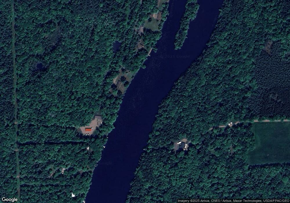
Map
Nearby Homes
- N3830 Kostka Rd
- 9 Sisters Farm Rd
- ON Dean Rd
- w 9950 Us Hwy 8
- 9950 W State Highway 8
- ON Old 14 Rd
- On Old 14 Rd
- W9950 Us Highway 8
- 1325 State Highway 27
- 1410 Lake Ave W
- 1 Citizen Soldier Hwy
- 317 College Ave W
- 216 Phillips Ave W
- N4927 W 13th St N
- 102 College Ave E
- 1010 E 2nd St S
- W105130 Us Highway 8
- 905 E 1st St S
- 419 Corbett Ave W
- 414 Fritz Ave W
- W9509 Port Arthur Rd
- 9501 Port Arthur Rd
- W9517 Port Arthur Rd
- N3909 Port Arthur Rd
- W9518 Port Arthur Rd
- W9507 Port Arthur Rd
- W9501 Port Arthur Rd
- W9501 Port Arthur Rd
- W9551 Port Arthur Rd
- N4024 Kostka Rd
- W9574 Port Arthur Rd
- N3755 Kostka Rd
- N3784 Strom Rd
- N3758 Strom Rd
- N3776 Strom Rd
- 9624 W Port Arthur Rd
- 9619 Port Arthur Rd
- N4046 Port Arthur Rd
- N4046 Port Arthur Rd
- 3750 Strom Rd