W9498 County Road B Browntown, WI 53522
Estimated Value: $628,000 - $836,110
--
Bed
--
Bath
--
Sq Ft
22.73
Acres
About This Home
This home is located at W9498 County Road B, Browntown, WI 53522 and is currently estimated at $732,055. W9498 County Road B is a home with nearby schools including Black Hawk Elementary School, Black Hawk Middle School, and Black Hawk High School.
Ownership History
Date
Name
Owned For
Owner Type
Purchase Details
Closed on
Apr 9, 2019
Sold by
Woodford State Bank
Bought by
Devries Delbert D and Devries Lisa M
Current Estimated Value
Purchase Details
Closed on
Dec 20, 2018
Sold by
Gobeli Martin D and Gobeli Bonnie D
Bought by
Woodford State Bank
Home Financials for this Owner
Home Financials are based on the most recent Mortgage that was taken out on this home.
Original Mortgage
$10,000
Interest Rate
4.8%
Mortgage Type
Credit Line Revolving
Create a Home Valuation Report for This Property
The Home Valuation Report is an in-depth analysis detailing your home's value as well as a comparison with similar homes in the area
Home Values in the Area
Average Home Value in this Area
Purchase History
| Date | Buyer | Sale Price | Title Company |
|---|---|---|---|
| Devries Delbert D | $375,000 | None Available | |
| Woodford State Bank | $340,000 | None Available |
Source: Public Records
Mortgage History
| Date | Status | Borrower | Loan Amount |
|---|---|---|---|
| Previous Owner | Woodford State Bank | $10,000 |
Source: Public Records
Tax History Compared to Growth
Tax History
| Year | Tax Paid | Tax Assessment Tax Assessment Total Assessment is a certain percentage of the fair market value that is determined by local assessors to be the total taxable value of land and additions on the property. | Land | Improvement |
|---|---|---|---|---|
| 2024 | $7,430 | $385,100 | $85,600 | $299,500 |
| 2023 | $7,689 | $385,100 | $85,600 | $299,500 |
| 2022 | $7,089 | $385,100 | $85,600 | $299,500 |
| 2021 | $6,604 | $385,100 | $85,600 | $299,500 |
| 2020 | $6,947 | $385,100 | $85,600 | $299,500 |
| 2019 | $6,884 | $385,100 | $85,600 | $299,500 |
| 2018 | $6,870 | $385,100 | $85,600 | $299,500 |
| 2017 | $6,825 | $385,100 | $85,600 | $299,500 |
| 2016 | $6,682 | $385,100 | $85,600 | $299,500 |
| 2014 | $7,451 | $385,100 | $85,600 | $299,500 |
Source: Public Records
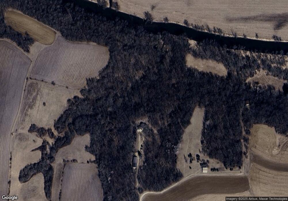
Map
Nearby Homes
- 000 County Highway M
- TBD Miller Rd
- 113 S Liberty St
- 360 S Church St
- 139.57 AC County Road M
- 000 County Road M
- 301 S Galena St
- W8192 Pilz Rd
- W8194 Pilz Rd
- N2090 Allen Rd
- N2202 Cadiz Springs Rd
- 7841 W Hwy County M
- TBD E County M
- 430 Hubbard St
- 619 Bridge St
- 439 Hubbard St
- 437 Hubbard St
- 204 Carver St
- Lot 3 Rd
- 5855 Swanson Rd
- W9492 County Road B
- W9486 County Road B
- N1506 Dill Rd
- N1506 Dill Rd
- N1399 Dill Rd
- N1289 W River Rd
- 1307 Dill Rd
- W9238 County Road B
- W9238 County Road B
- N1307 Dill Rd
- N1307 Dill Rd
- n 1307 Dill Rd
- N1475 Dill Rd
- N1401 Dill Rd
- N1401 Dill Rd
- N1228 W River Rd
- 52A County Road B
- 8A County Road B
- N1517 Dill Rd
- W9096 County Road B