W9551 Campbradfield Rd Black River Falls, WI 54615
Estimated Value: $363,000 - $660,281
--
Bed
--
Bath
--
Sq Ft
32.89
Acres
About This Home
This home is located at W9551 Campbradfield Rd, Black River Falls, WI 54615 and is currently estimated at $567,320. W9551 Campbradfield Rd is a home located in Jackson County with nearby schools including Forrest Street Early Learning Center, Red Creek Elementary School, and Black River Falls Middle School.
Ownership History
Date
Name
Owned For
Owner Type
Purchase Details
Closed on
May 7, 2021
Sold by
Johnson David R and Johnson Kathleen F
Bought by
Third Rock Properties Llc
Current Estimated Value
Home Financials for this Owner
Home Financials are based on the most recent Mortgage that was taken out on this home.
Original Mortgage
$455,000
Outstanding Balance
$412,344
Interest Rate
3.1%
Mortgage Type
Future Advance Clause Open End Mortgage
Estimated Equity
$154,976
Create a Home Valuation Report for This Property
The Home Valuation Report is an in-depth analysis detailing your home's value as well as a comparison with similar homes in the area
Home Values in the Area
Average Home Value in this Area
Purchase History
| Date | Buyer | Sale Price | Title Company |
|---|---|---|---|
| Third Rock Properties Llc | $560,000 | None Available |
Source: Public Records
Mortgage History
| Date | Status | Borrower | Loan Amount |
|---|---|---|---|
| Open | Third Rock Properties Llc | $455,000 |
Source: Public Records
Tax History Compared to Growth
Tax History
| Year | Tax Paid | Tax Assessment Tax Assessment Total Assessment is a certain percentage of the fair market value that is determined by local assessors to be the total taxable value of land and additions on the property. | Land | Improvement |
|---|---|---|---|---|
| 2024 | $5,240 | $426,800 | $149,600 | $277,200 |
| 2023 | $5,023 | $426,800 | $149,600 | $277,200 |
| 2022 | $5,145 | $267,300 | $115,700 | $151,600 |
| 2021 | $4,491 | $267,300 | $115,700 | $151,600 |
| 2020 | $4,920 | $267,300 | $115,700 | $151,600 |
| 2019 | $4,699 | $267,300 | $115,700 | $151,600 |
| 2018 | $4,542 | $267,300 | $115,700 | $151,600 |
| 2017 | $4,568 | $267,300 | $115,700 | $151,600 |
| 2016 | $4,728 | $267,300 | $115,700 | $151,600 |
| 2015 | $5,272 | $267,300 | $115,700 | $151,600 |
| 2013 | $4,642 | $264,300 | $103,700 | $160,600 |
Source: Public Records
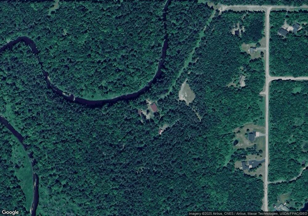
Map
Nearby Homes
- Tbd Hwy 12 27 N
- TBD N 12 27 Hwy
- N8046 E Snow Creek Rd
- W9495 County Road K
- W9437 County Road K
- 0 Hannon Rd Unit 1939235
- 0 Hannon Rd Unit 1596430
- W10753 Hannon Rd
- Tbd Bruce Mound Ave
- W9065 Sand Pillow Rd
- N7232 Waters Edge Rd
- 0000 County Road K
- N9517 Thunderbird Ln
- TBD Bruce Mound Ave
- W8340 County Road J
- W8330 County Road J
- N7138 US Highway 12 Unit 27
- Lot 2 Betty Ln
- Lot 3 Betty Ln
- Lot 5 Betty Ln
- W9551 Camp Bradfield Rd
- W9467 Clearview Dr
- W9445 Clearview Dr
- W9431 Clearview Dr
- W9477 Clearview Dr
- W9419 Clearview Dr
- W9547 Camp Bradfield Rd
- W9496 Clearview Lot 19 Dr
- Lot 24 Clearview Estates
- Lot 8 Clearview Estates
- 0 Clearview Estates
- Lot 22 Clearview Estates
- W9409 Clearview Dr
- 3.03 Acres Clearview Dr
- W9465 Camp Bradfield Rd
- W9404 Clearview Dr
- 0 Camp Bradfield Rd
- N8627 Timber Ln
- N9391 Camp Bradfield Rd
- Lot 6 Camp Bradfield Rd