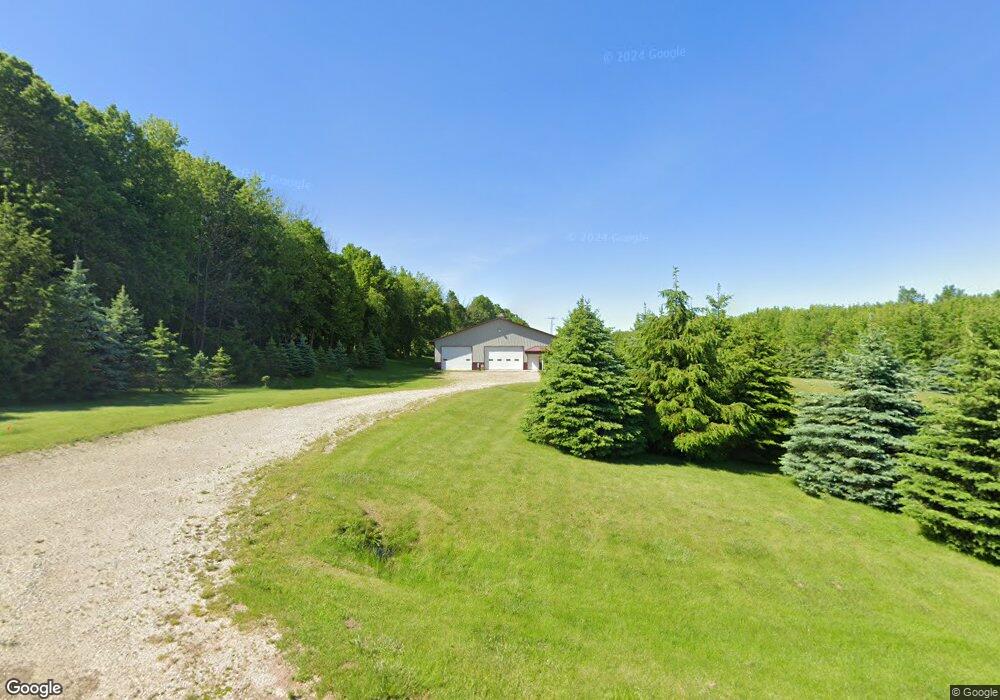
W986 Iowa Rd Hartford, WI 53027
Estimated Value: $326,000 - $509,000
--
Bed
--
Bath
--
Sq Ft
18.49
Acres
About This Home
This home is located at W986 Iowa Rd, Hartford, WI 53027 and is currently estimated at $414,033. W986 Iowa Rd is a home located in Dodge County with nearby schools including Hartford High School.
Ownership History
Date
Name
Owned For
Owner Type
Purchase Details
Closed on
Feb 8, 2012
Sold by
Baetz Randall R
Bought by
Duffek Donald J and Duffek Joanne E
Current Estimated Value
Purchase Details
Closed on
Aug 27, 2009
Sold by
Baetz Randall R
Bought by
Mcgavock Timothy and Charlevoix Lynn
Home Financials for this Owner
Home Financials are based on the most recent Mortgage that was taken out on this home.
Original Mortgage
$210,600
Interest Rate
5.21%
Mortgage Type
New Conventional
Purchase Details
Closed on
Nov 9, 2005
Sold by
Baetz Kristine A
Bought by
Baetz Randall R
Home Financials for this Owner
Home Financials are based on the most recent Mortgage that was taken out on this home.
Original Mortgage
$178,000
Interest Rate
6.13%
Mortgage Type
Future Advance Clause Open End Mortgage
Create a Home Valuation Report for This Property
The Home Valuation Report is an in-depth analysis detailing your home's value as well as a comparison with similar homes in the area
Home Values in the Area
Average Home Value in this Area
Purchase History
| Date | Buyer | Sale Price | Title Company |
|---|---|---|---|
| Duffek Donald J | $200,000 | None Available | |
| Mcgavock Timothy | $234,000 | None Available | |
| Baetz Randall R | -- | -- |
Source: Public Records
Mortgage History
| Date | Status | Borrower | Loan Amount |
|---|---|---|---|
| Previous Owner | Mcgavock Timothy | $210,600 | |
| Previous Owner | Baetz Randall R | $178,000 |
Source: Public Records
Tax History Compared to Growth
Tax History
| Year | Tax Paid | Tax Assessment Tax Assessment Total Assessment is a certain percentage of the fair market value that is determined by local assessors to be the total taxable value of land and additions on the property. | Land | Improvement |
|---|---|---|---|---|
| 2024 | $1,612 | $104,300 | $50,200 | $54,100 |
| 2023 | $1,458 | $104,300 | $50,200 | $54,100 |
| 2022 | $1,495 | $104,100 | $50,000 | $54,100 |
| 2021 | $1,561 | $104,200 | $50,100 | $54,100 |
| 2020 | $1,570 | $104,300 | $50,200 | $54,100 |
| 2019 | $1,612 | $104,100 | $50,000 | $54,100 |
| 2018 | $1,577 | $104,100 | $50,000 | $54,100 |
| 2017 | $1,524 | $98,100 | $49,000 | $49,100 |
| 2016 | $1,478 | $98,100 | $49,000 | $49,100 |
| 2015 | $1,581 | $98,100 | $49,000 | $49,100 |
| 2014 | $1,713 | $98,100 | $49,000 | $49,100 |
Source: Public Records
Map
Nearby Homes
- 6372 Yellowstone Trail N
- N7575 Doyle Rd
- 7087 Nenno Rd
- 234 Watertower Cir
- 202 East Ave
- Lt0 E Neda Rd
- Lt13 Eagle View Dr
- Lt1 Eagle View Dr
- Lt4 Eagle View Dr
- N5413 County Rd S
- 0 Burkwald Ave
- Montrose Manor Plan at Grandview Heights
- Isabelle II Plan at Grandview Heights
- Simen Plan at Grandview Heights
- Sarah III Plan at Grandview Heights
- Balmore II Plan at Grandview Heights
- Edinburgh Plan at Grandview Heights
- 1762 Conestoga Ct
- 1783 Saddle Dr
- Lt1 Lilly Rd
- W986 Iowa Rd
- W992 Iowa Rd
- W1030 Iowa Rd
- W1008 Iowa Rd
- N6041 Freedom Rd
- N6218 Freedom Rd
- N6099 Buchanan Rd
- N6174 County Road P
- N6096 County Road P
- W797 Iowa Rd
- N5950 Freedom Rd
- N5935 Buchanan Rd
- W1194 Iowa Rd
- N5947 Buchanan Rd
- W1214 Iowa Rd
- N6347 Freedom Rd
- N5861 Buchanan Rd
- N5887 Buchanan Rd
- N5898 Buchanan Rd
- W702 Iowa Rd