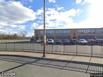
x Google Map Lynn, MA 01905
Upper Walnut Street Neighborhood
--
Bed
--
Bath
--
Sq Ft
--
Built
About This Home
This home is located at x Google Map, Lynn, MA 01905. x Google Map is a home located in Essex County with nearby schools including Julia F. Callahan Elementary School, William R. Fallon School, and Breed Middle School.
Create a Home Valuation Report for This Property
The Home Valuation Report is an in-depth analysis detailing your home's value as well as a comparison with similar homes in the area
Home Values in the Area
Average Home Value in this Area
Tax History Compared to Growth
Map
Nearby Homes
- 119 Holyoke St
- 32 Birch Brook Rd Unit 18
- 32 Birch Brook Rd Unit 17
- 32 Birch Brook Rd Unit 25
- 32 Birch Brook Rd Unit 27
- 32 Birch Brook Rd Unit 28
- 11 Nicholson St
- 20 Houston St
- 54 Oakland Ave Unit 54
- 24 Spruce St
- 663 Boston St Unit 14
- 29 Glen Ct Unit 1
- 666 Boston St
- 48 Hayes St
- 30 Bonavesta St
- 76 Blakeley St
- 23 Bonavesta Terrace
- 86 Menlo Ave
- 4 Rockland Terrace
- 19 Batchelders Ct
- 54 Avenida Oakland Unit 54
- 101 Smith
- 792 Summer Unit 2
- x Google Map
- 123456 Development Opportunity Way
- 0101 Confidential St
- 73 O'Callahan Way
- 1 Devlin Way
- 5 Devlin Way
- 9 Devlin Way
- 10 Holyoke Rd
- 8 Devlin Way
- 13 Devlin Way
- 6 Holyoke Rd
- 16 Devlin Way
- 17 Devlin Way
- 2 Holyoke Rd
- 20 Devlin Way
- 21 Devlin Way
- 115 Ocallaghan Way
