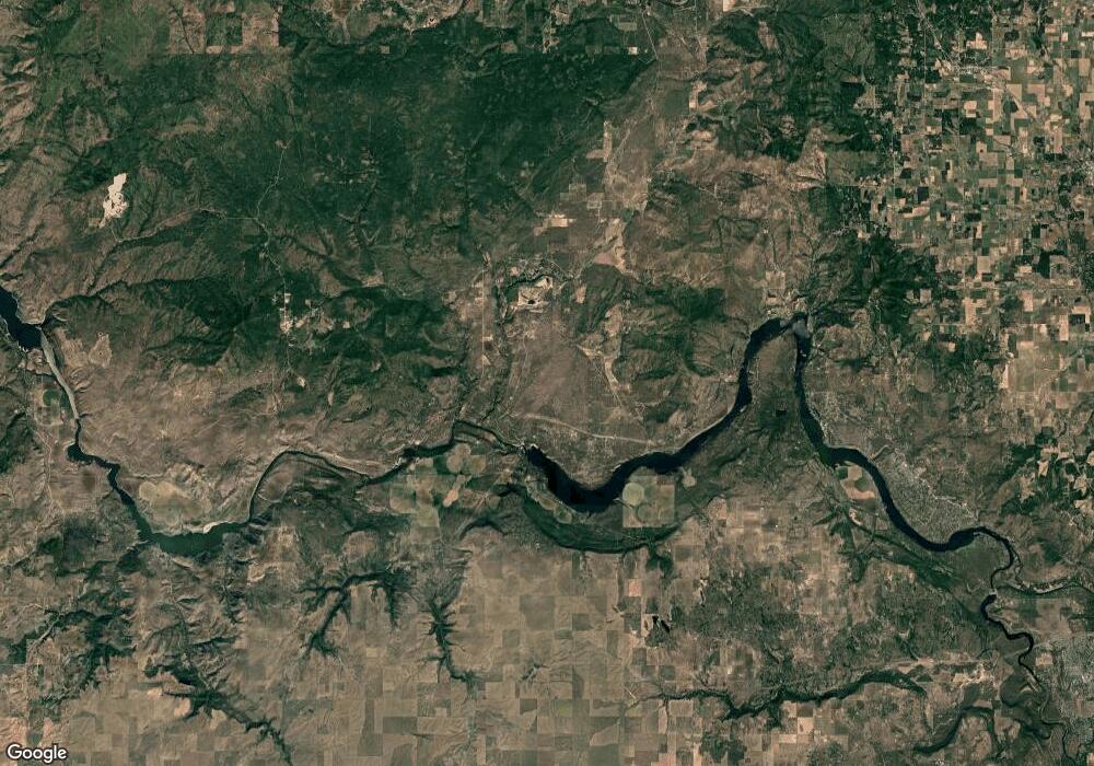
Estimated Value: $488,000
--
Bed
--
Bath
--
Sq Ft
5.88
Acres
About This Home
This home is located at XXX Unassigned Address Rd Unit 430/127, Ford, WA 99013 and is currently priced at $488,000. XXX Unassigned Address Rd Unit 430/127 is a home located in Spokane County with nearby schools including Reardan Elementary & Middle School and Reardan Middle-Senior High School.
Ownership History
Date
Name
Owned For
Owner Type
Purchase Details
Closed on
Feb 27, 2025
Sold by
Crosen Peter W
Bought by
Currie Branden
Current Estimated Value
Home Financials for this Owner
Home Financials are based on the most recent Mortgage that was taken out on this home.
Original Mortgage
$71,250
Outstanding Balance
$69,795
Interest Rate
6.27%
Mortgage Type
Balloon
Purchase Details
Closed on
Oct 3, 2024
Sold by
Walker Warco and Walker Robert H
Bought by
Crosen Peter W
Purchase Details
Closed on
Jun 25, 2024
Sold by
Breidenbach Warco and Breidenbach Susan W
Bought by
Crosen Peter W
Purchase Details
Closed on
Feb 6, 2023
Sold by
Crosen Virginia C
Bought by
Crosen Peter
Create a Home Valuation Report for This Property
The Home Valuation Report is an in-depth analysis detailing your home's value as well as a comparison with similar homes in the area
Home Values in the Area
Average Home Value in this Area
Purchase History
| Date | Buyer | Sale Price | Title Company |
|---|---|---|---|
| Currie Branden | $100,000 | First American Title | |
| Crosen Peter W | $313 | First American Title | |
| Crosen Peter W | $313 | First American Title Insurance | |
| Crosen Peter | -- | -- |
Source: Public Records
Mortgage History
| Date | Status | Borrower | Loan Amount |
|---|---|---|---|
| Open | Currie Branden | $71,250 |
Source: Public Records
Tax History Compared to Growth
Tax History
| Year | Tax Paid | Tax Assessment Tax Assessment Total Assessment is a certain percentage of the fair market value that is determined by local assessors to be the total taxable value of land and additions on the property. | Land | Improvement |
|---|---|---|---|---|
| 2025 | $775 | $99,280 | $99,280 | -- |
| 2024 | $775 | $99,280 | $99,280 | -- |
| 2023 | $734 | $99,280 | $99,280 | $0 |
| 2022 | $477 | $99,280 | $99,280 | $0 |
| 2021 | $376 | $36,230 | $36,230 | $0 |
| 2020 | $295 | $27,320 | $27,320 | $0 |
| 2019 | $248 | $24,320 | $24,320 | $0 |
| 2018 | $291 | $24,320 | $24,320 | $0 |
| 2017 | $281 | $24,320 | $24,320 | $0 |
| 2016 | $257 | $24,320 | $24,320 | $0 |
| 2015 | $266 | $24,320 | $24,320 | $0 |
| 2014 | -- | $24,320 | $24,320 | $0 |
| 2013 | -- | $0 | $0 | $0 |
Source: Public Records
Map
Nearby Homes
- Tbd Coyote Ridge Ln
- NKA Coyote Ridge Ln
- 7681 Adams Drive Way
- 7744 Amy Ln
- 7690 Loralee St
- 38278 Angels Landing N
- 7592 James Street Way
- 7732 Wicker Drive Way
- 7534 Kimberly Dr
- 35251 Crescent Rd N Unit 6
- 35251 Crescent Rd N Unit 5
- 35251 Crescent Rd N Unit 4
- 35251 Crescent Rd N Unit 3
- 35251 Crescent Rd N Unit 2
- 35251 Crescent Rd N Unit 1
- 35251 Crescent Rd N Unit Parcel 6
- 35251 Crescent Rd N Unit Parcel 5
- 35251 Crescent Rd N Unit Parcel 4
- 35251 Crescent Rd N Unit Parcel 3
- 35251 Crescent Rd N Unit Parcel 2
- 28605 W Long Lake Rd
- 28719 W Long Lake Rd
- 28524 W Long Lake Rd
- 28919 W Long Lake Rd
- 28726 W Long Lake Rd
- 28909 W Long Lake Rd
- 28820 W Long Lake Rd
- 28107 W Long Lake Rd
- 28101 W Long Lake Rd
- 29112 W Long Lake Rd
- 29116 W Long Lake Rd
- 28017 W Long Lake Rd
- 27916 W Long Lake Rd
- 29220 Long Lake Rd
- 27925 W Long Lake Rd
- 27818 W Long Lake Rd
- 27716 W Long Lake Rd
- 15821 N Coyote Ridge Rd
- 27711 W Long Lake Rd
- KNA Coyote Ridge Ln
