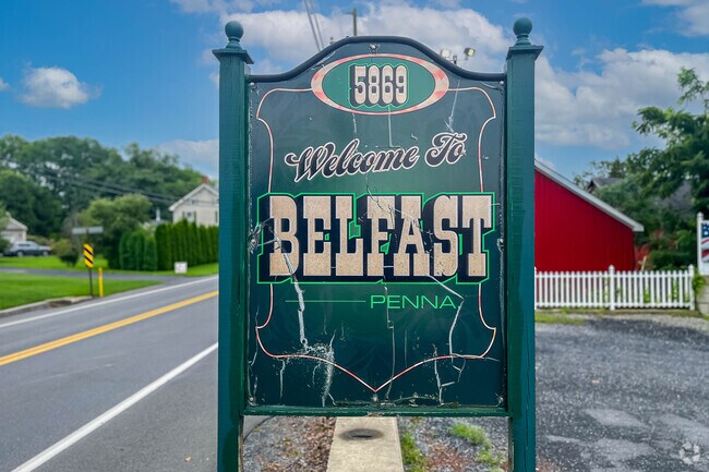
A small town along Route 33
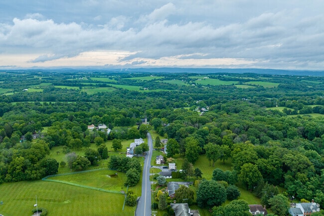
The Belfast neighborhood sits in eastern Pennsylvania, boxed in by farmland, to the north, south and east, and an environmental center to the west. However, it’s also a quick drive to two interstates in either direction that nearly cross the entirety of the United States, thanks to lying along Route 33, and a short distance away from townships like Nazareth and Bethlehem. “Belfast is mostly farmland,” says Jonathan Campbell, the CEO of the Campbell Team and a Lehigh Valley native. “It’s about 20-25 minutes from Bethlehem, which has Lehigh University and the Wind Creek Casino. It’s home to Bethlehem Steel, which is defunct, but the area has music festivals every year. Lehigh Valley is composed of a lot of small towns in and around it.” Belfast is indeed one of those small towns, so small that traffic lights are a rarity in the area.
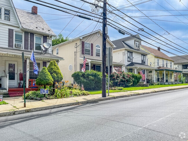
Quiet streets in Belfast
Some residential homes in Belfast sit along rural, quiet, tree-lined roads, while others in the northern half of the neighborhood are organized along more grid-like streets. Thoroughfare names like Shady Lane, Oak Tree Road and Pine Tree Drive are apt for the surroundings of the homes, which are primarily single-family properties. Ranch homes are some of the most common architecture here, though Cape Cods and colonials can also be found in Belfast. Houses are typically on larger yards, though the shape and acreage depends on the property. Prices can vary widely, but most fall between $300,000 and $500,000.
Three schools for Belfast students
Plainfield Elementary School is the only educational institution located within Belfast, hosting students from kindergarten through third grade and rated at a B by Niche. Wind Gap Middle School follows with fourth through eighth grades, receiving a B-minus, and Pen Argyl Area High School enrolls students the rest of the way through 12th grade. Pen Argyl also earns a B-minus, offering sports like field hockey in the fall, wrestling in the winter and baseball in the spring.
An expansive nature center to the west
No established parks are located within Belfast, but immediately across Route 33, the Jacobsburg Environmental Education Center sprawls across more than 1,100 acres of land. “Jacobsburg is right off Sullivan Trail, basically the halfway point between Easton and the Wind Gap area,” Campbell says. “It’s technically in Nazareth, but it’s right next to Belfast. It’s huge. There’s tons of walking trails and tons of fishing and hiking. It’s a great place.” Along with walks, hikes and casting lines, visitors can bike, hunt in permitted areas and go horseback riding, or even ski in the winter. Jacobsburg even pays homage to the area’s history by offering classes on the smithing of tools and guns, as well as historical reenactments.
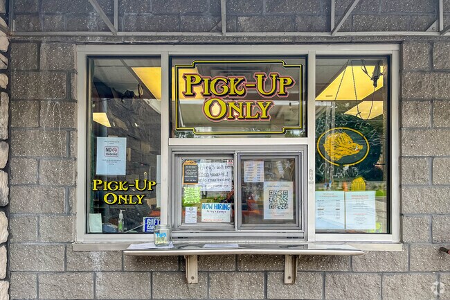
Local bites and larger chains
Sullivan Trail almost cuts the neighborhood in half, running through the entirety of Belfast. Most of the area’s spots to grab a bite or drink are located along Sullivan, including a sandwich stop at Petey’s Eatey’s and the ornate interior of Miguel’s Restaurant & Lounge within a Victorian hotel. Farther southeast down the road, still in Belfast, the Pennsylvania Roadhouse puts on live music for its patrons, and DAT’s Eats, Treats & Sweets has a throwback dining atmosphere. Down Route 33, closer to Nazareth, shopping centers offer grocery and necessity options like Wegmans, Target and Walmart.
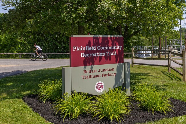
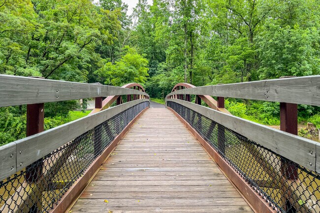
Walking and hiking in nature
Just east of Belfast, the Plainfield Township Recreation Trail winds northward under cover of some foliage while running both on terra firma and over bridges. It’s accessible to those with or without two wheels, as well as horseback riders and skiers. State Game Lands No. 168 is a rectangular, wide-ranging swath of land to the northwest occupying almost 8,000 acres. “The Appalachian Trail runs through there near the Wind Gap area,” Campbell says. “There’s a ton of state game lands in Pennsylvania. It’s just woods, basically.” Some trails for walking and hiking run through those forested areas.
Two national highways linked by a major route
Route 33 unfolds along the western boundary of Belfast. “33 basically bridges the gap from Interstate 80 to Route 22, but it also goes to Interstate 78, which goes across the entire country and feeds to New York City,” Campbell says. “A lot of truckers use 33 because there’s a lot of warehouses up near Wind Gap.” Belfast residents can reach Allentown within a drive of about 20 miles southbound, and the cross-country highways of Interstate 80 and Interstate 78 respectively run to the north and south of the neighborhood. LANTA buses have stops along Sullivan Trail. Motorists also have equidistance to New York City and Philadelphia, which are about 80 miles or slightly more in each city’s direction.
![Danny Lambert]()
Photography Contributed By
Danny Lambert