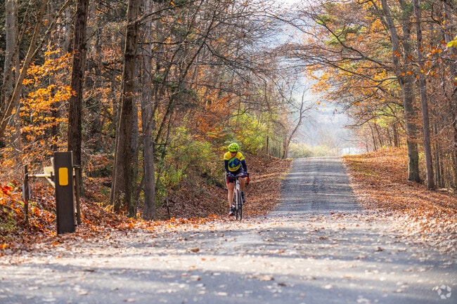
Township in Appalachian Ridge and Valley Province
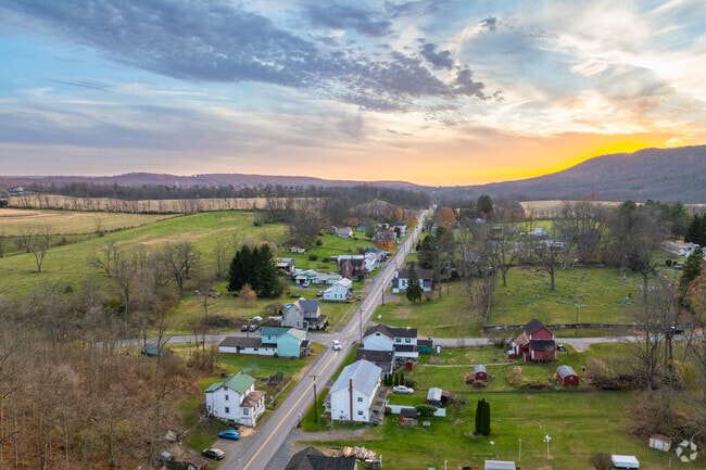
Marion Township, 19 miles from State College Borough, is a patchwork of farmland within the Appalachian Ridge and Valley Province. Many residents settle in the rural community for lower taxes and an easy commute to work. “Taxes are lower in Centre County,” says Jerri Young, a broker with SWC Realty. “Marion Township is a great area. Lots of people do commute into State College for jobs.” Commuters must share the road with horses and buggies as Amish families run most of the area's farms. “The primary occupation is farming,” says Young. “Unless you’re commuting.” The township has easy access to outdoor activities, so residents can enjoy the proximity to other municipalities without giving up the pastoral pleasures of rural living. The CAP Index crime score is 1 out of 10, lower than the national average of 4.
Swimming at Bald Eagle State Park
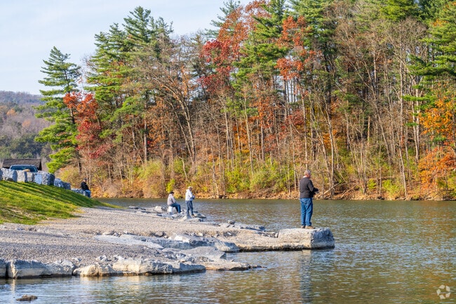
Bald Eagle State Park, 5 miles away, sits on the other side of Mount Eagle, between State Game Lands Number 92 and Number 255. Bald Eagle is known for the Foster Joseph Sayers Reservoir, part of a flood control dam used for swimming, boating, and fishing. The park also has campgrounds and 14.5 miles of hiking trails. Campers can visit the park’s frog pond or spot bald eagles roosting on Mount Eagle. In the spring, bird watchers may spot songbirds in the area. The nearby state game lands are used primarily for hunting and fishing, though these activities are also allowed in the state park.
Homes have average lot size of 1.5 acres
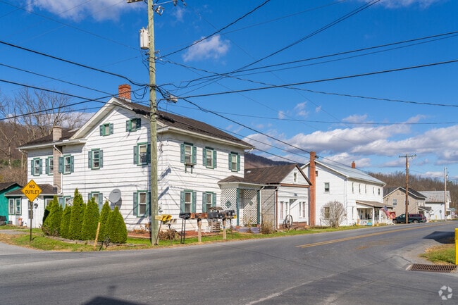
Residences are spaced out on acres of farmland or large plots off Jacksonville Road. Colonial Revival and ranch-style homes are typical in the area. These range from $210,000 to $655,000. While housing prices are comparable to those of State College, the average lot size in Marion is 1.5 acres, while the average in State College is less than an acre.
Bellefonte High School offers agricultural education
The Bellefonte Area School District, which receives a B-minus from Niche, serves Marion Township. Children may attend Marion-Walker Elementary School, which receives a B, and Bellefonte Area Middle School, which receives a B-minus. Students advance to Bellefonte Area High School, which receives a B. Bellefonte High School offers agricultural education, including pre-veterinary science, plant science and biotechnology and landscape and horticulture.
Commuters use interstates and local routes
The area is car-dependent. Interstate 80 passes through the community and connects with Interstate 99, which leads to State College. Jacksonville Road bisects the township and connects to state Route 1010, leading to state Route 64, a well-maintained route that leads directly to the shopping centers along Atherton Street in State College.
Launch pumpkins at the Punkin’ Chunkin’ Festival
The Howard Fire Company hosts the Punkin’ Chunkin’ Festival in Bald Eagle State Park in October. Residents gather to launch pumpkins into the reservoir using air canons, catapults and other methods. Local vendors set up shop in the park and there’s a fall farmers market for fresh produce.
Shopping and dining in neighboring communities
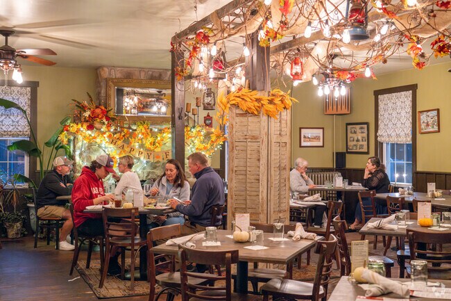
Shopping and dining are found outside the area in State College, Lock Haven, 17 miles away and Bellefonte, 10 miles away. Hublersburg Inn, 3 miles away in Walker Township, is an upscale restaurant serving American cuisine and hand-crafted cocktails. In the township, The Dairy Barn-Nittany Valley Creamery serves as a café and an ice cream parlor, offering milkshakes, sundaes, scones, coffee and other sweet treats. Groceries are available in Lock Haven and along Atherton Street in State College. Hilltop Farm offers home-grown produce within the community.

Written By
Isabella Pontecorvo

Photography Contributed By
Jay Ratchford