$249,594Average Value$180Average Price per Sq Ft1Home For Sale
Westarado offers country living
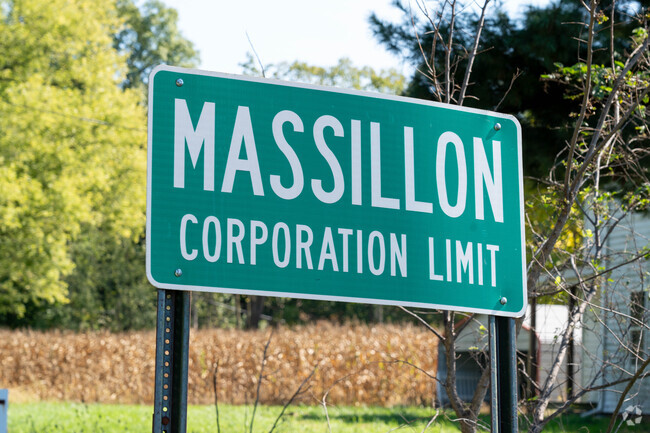
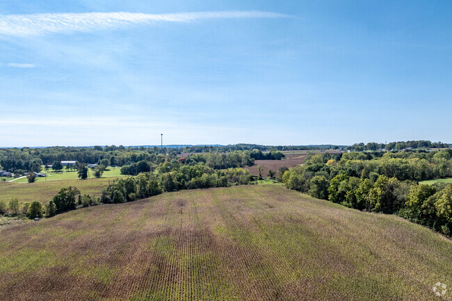
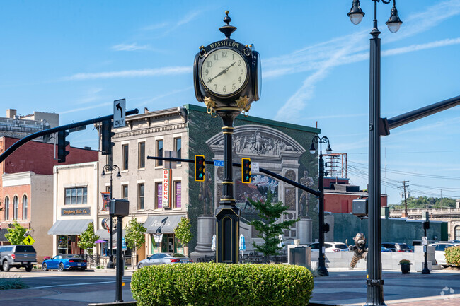
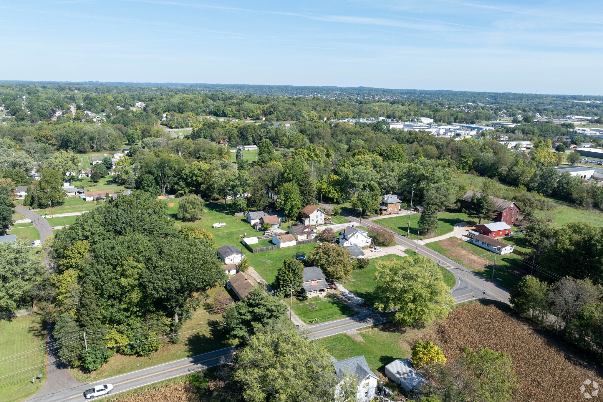
What was once farmland is now Westarado, a bucolic neighborhood dotted with homes on large lots not too far from downtown Massillon. Its winding roads lead through wild landscapes and past farms, body shops, gravel suppliers and homes tucked behind groves of beeches and oaks. Though the immediate area does not have grocery stores or a downtown, residents can find shopping and events in downtown Massillon or nearby Canton. Students in the area are zoned for the Tuslaw School District, which is rated highly by Niche and Ohio School Report Cards. As the Massillon area grows, development spreads its way into Westarado. “It’s up and coming,” says Heather Emmert, Realtor with EXP Realty.
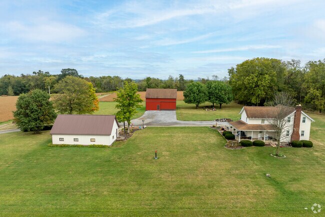
Westarado offers many homes with large plots of land.
Don't miss the Midwest beauty of Westarado.
1/2
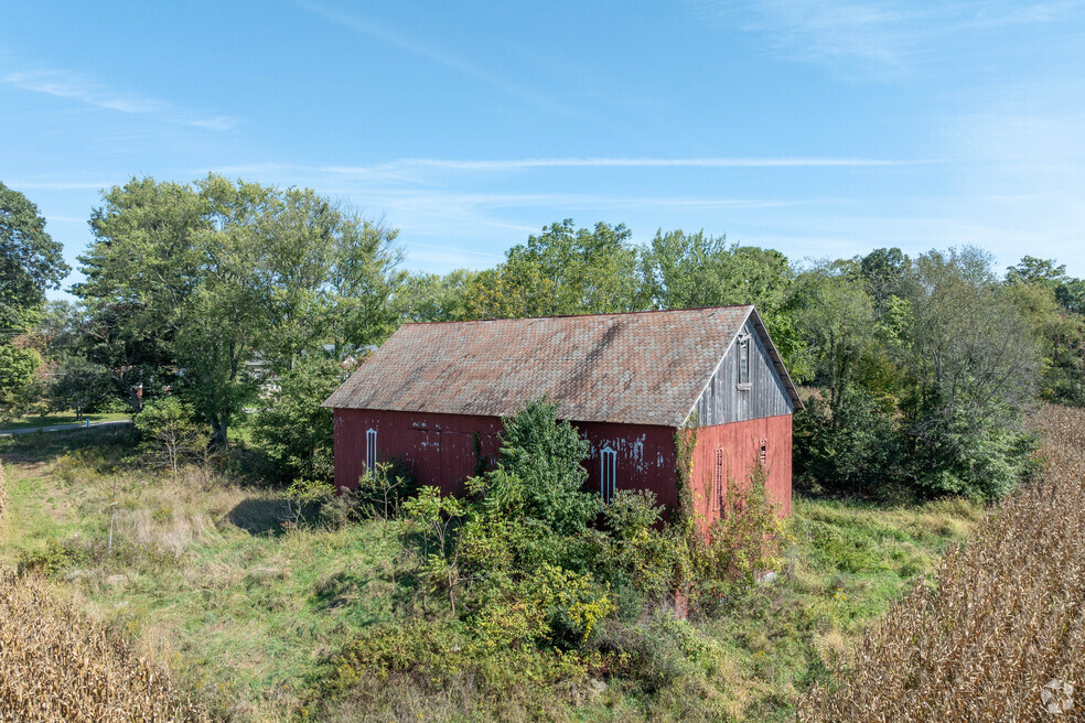
Farmhouses dot the countryside
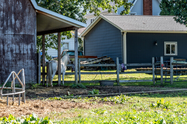
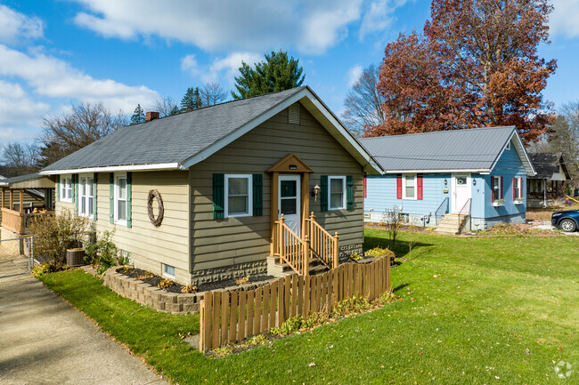
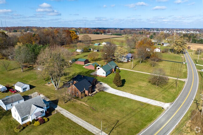
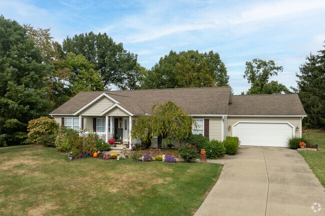
Two-lane roads wind past fields and industrial buildings, leading to pockets of homes lining the streets closer to town and dotting the countryside farther out. Spacious plots are a major feature in Westarado. In downtown Massillon, the median lot size is under a quarter acre, but in Westarado, they average around 1 acre. “Ranch-style homes sell quickly. Most have a full basement, so people will finish the basement and double their living area,” says Emmert. “There are some newer construction homes in the area selling a bit slower due to supply and demand as well as smaller lot sizes.” Architectural styles include farmhouses, Foursquares and ranch-style homes. Higher home prices correlate to more extensive square footage and acreage; buyers can expect a range between $150,000 to $400,000.
Small farms are common in the Westarado neighborhood.
Ranch homes can be found throughout the Westarado neighborhood.
1/2
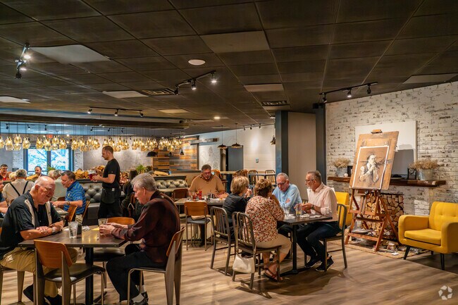
Downtown dining and rural restaurants found off the beaten path
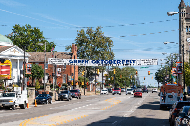
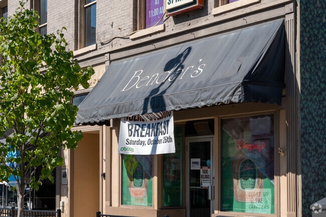
Though Westarado is mainly rural, a string of restaurants and fast-food spots run along Ohio Route 21, bordering the neighborhood to the east, and past the cloverleaf interchange along U.S. Route 62. Erie Street Pub is a sports bar with a local dive feel, serving home-style cooking made from scratch. Another popular spot is The Nook—aptly named, this upscale barbeque restaurant is hidden along a rural roadside surrounded by a thick cluster of trees. With dim lighting, dark wood accents and a string-lit patio, The Nook has a refined yet rustic vibe. Locals can pick up groceries at the Aldi along Erie Street South, about 2 miles east of Westarado, or at the Walmart Supercenter on Massillon Marketplace Drive Southwest. “Massillon has about every store you’d need, and Belden Village Mall in Canton is about 20 to 25 minutes away if you need more selection,” says Emmert.
Benders in downtown Massillon is a popular dining destination for residents of Westarado.
Residents enjoy fine dining at the Nook Smokehouse and Grill near the Westarado neighborhood.
1/2
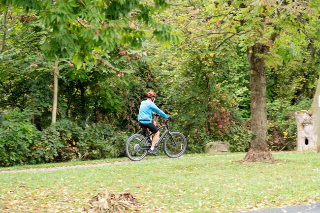
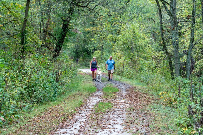
Local parks and peaceful walks along the Towpath Trail
The city of Massillon maintains 30 parks. There's a disc golf course and pickleball courts at Lincoln Park and an ice skating rink at Wampler Park. The Congressman Ralph Regula Towpath Trail winds its way along the Tuscarawas River, parallel to the Ohio and Erie Canal. “It was once a path where mules walked to tow barges up the canal,” says Mark Laity Snyder, a local resident and hiker. “It’s quiet there; sometimes you can spot a deer or a rabbit.” Hikers may also spot horses, which are allowed on the 25-mile-long trail. East of the neighborhood across Ohio Route 21 is Arthur Genshaft Fields, a baseball field hosting adult softball leagues.
A cyclist enjoys riding along the Ralph Regula Towpath Trail near the Westarado neighborhood.
The Towpath Trail at John Glenn Grove is great for walking your dog.
1/2
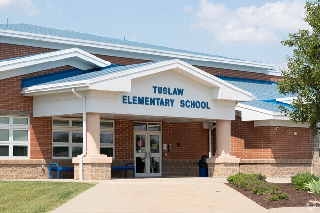
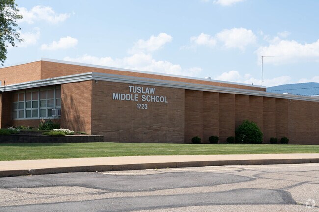
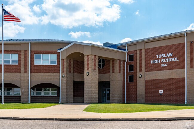
The Tuslaw School District is well-liked
Westarado students are zoned for the Tuslaw School District. “People really like the Tuslaw schools. Massillon has better football, but the education is better in Tuslaw,” Emmert says. Students can begin their education at Tuslaw Elementary School, which scored a B-plus on Niche, before continuing on to Tuslaw Middle School, which received an A-minus. Students can also attend Tuslaw High School, which scored a B on Niche and got a five out of five on their Ohio School Report Card. Tuslaw High offers Advanced Placement courses and opportunities to sign up for dual enrollment classes. Canton, 12 miles east, has several public and private universities, namely Kent State University Stark Campus and Malone University.
Students from Westarado enjoy learning at Tuslaw Elementary School.
Tuslaw Middle School provides a challenging education to the children from Westarado.
Westarado high school students attend Tuslaw High School.
1/3
Local highways near Westarado provide access to surrounding areas and cities.
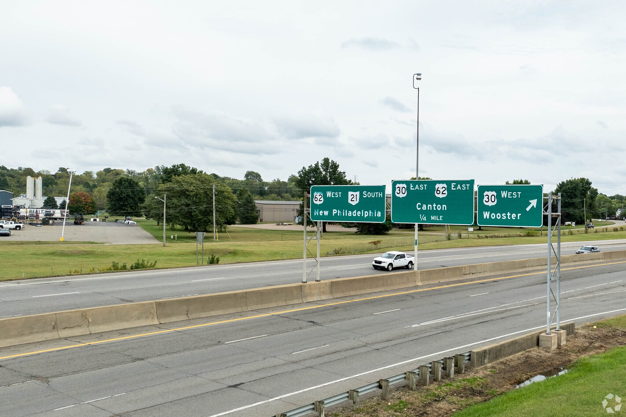
Rural, but close to major highways
Though the area is more rural, Westarado is close to several highways, allowing for easy commutes. Proximity to U.S. Route 30 provides for a quick trip to Canton, while Ohio Route 21 is the way to Akron. The Stark Area Regional Transit Authority (SARTA) stops along Ninth Street and Sanders Avenue once per hour between 6 a.m. and 10 p.m., Monday through Saturday, but the trip to downtown Massillon can take over an hour. The Akron-Canton Airport is about 14 miles north of Westarado. The nearest hospital is Aultman Hospital in Canton, about 12 miles east.
Westarado residents enjoy a quit rural community.
Westarado? What's Westarado?
The Westarado neighborhood, though marked on local maps, does not have a neighborhood association or name recognition within the community. The area west of 17th Street Southwest is part of the Tuscarawas Township, governed by three elected trustees. “We are a laid-back township,” says Tuscarawas trustee of 10 years, Blake Brenner. He notes that taxes are lower here than in surrounding areas. “We don’t have a zoning department. You can build basically whatever you want. The fire department is contracted through Brewster and North Lawrence, and they have great response times.”
GreatSchools:
The GreatSchools Rating helps parents compare schools within a state based on a variety of school quality indicators and provides a helpful picture of how effectively each school serves all of its students. Ratings are on a scale of 1 (below average) to 10 (above average) and can include test scores, college readiness, academic progress, advanced courses, equity, discipline and attendance data. We also advise parents to visit schools, consider other information on school performance and programs, and consider family needs as part of the school selection process.
View GreatSchools Rating Methodology
Are you familiar with the Westarado neighborhood?
to let others know what life in this neighborhood is like.
Crime and Safety
1 - Low Crime, 10 - High Crime
Westarado
US
Homicide
2
4
Sexual Assault
1
4
Assault with Weapon
2
4
Robbery
1
4
Burglary
3
4
Motor Vehicle Theft
3
4
Larceny
2
4
Crime Score
2
4
Source: WhatIsMyCrimeRisk.com
Westarado Demographics and Home Trends
On average, homes in Westarado, Massillon sell after 55 days on the market compared to the national average of 55 days. The median sale price for homes in Westarado, Massillon over the last 12 months is $175,000, down 41% from the median home sale price over the previous 12 months.
23-Acre Woodland, No Zoning, Ideal Family Retreat or Future Homesite. Tuscarawas Twp., Stark Co., Tuslaw LSD. Live Onsite with Online Bidding. All sells to settle the Gloria Marsh Estate. Stark Co. Probate case #254906. ONLINE BIDDING BEGINS THURSDAY, APRIL 9, 2026, AT 9:00 AM, AND AUCTION LIVE ON-SITE BIDDING WILL BEGIN FRIDAY, APRIL 10, 2026, AT 12:30 PM. Real Estate: Exciting opportunity!
Local Logic measures the walkability, access to public transit and bikeability of any address. CAP Index provides objective, accurate, and consistent data to help measure, compare, and mitigate crime risks.
Disclaimer: Certain information contained herein is derived from information provided by parties other than Homes.com. Our sources include: Accuweather, Public Records and Neustar. All information provided is deemed reliable, but is not guaranteed to be accurate and should be independently verified.