$760,150Average Value$407Average Price per Sq Ft1Home For Sale
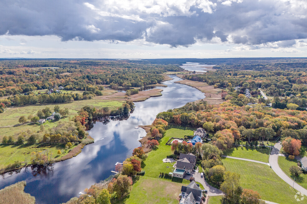
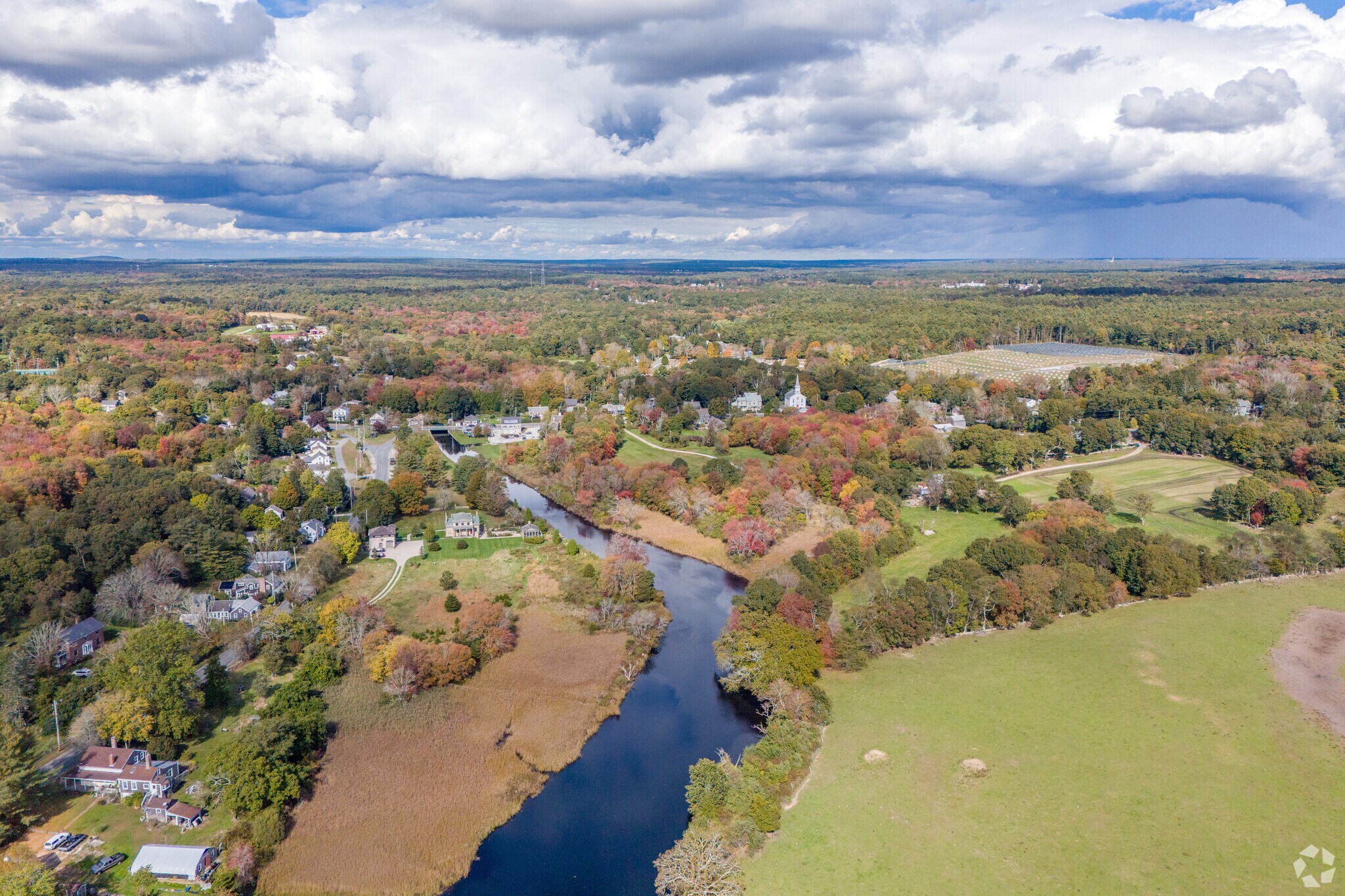
Looking toward the Head of Westport center, the open farmland and suburban development entwine.
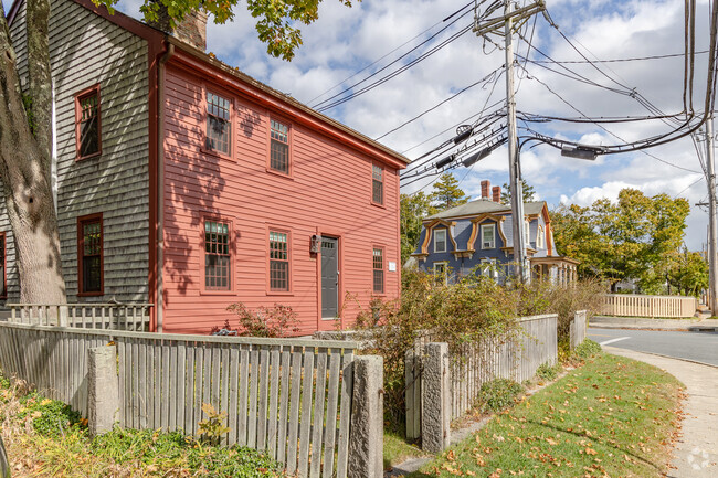
With the start of the Westport River flowing along one side, Head of Westport historically found itself involved in industries like sawmills and ship construction. That made the neighborhood stand out from surrounding rural communities, which had their identity rooted in agriculture. As these industries moved on, Head of Westport took on a quieter character – and the housing stock reflects that shift.
“There is definitely a lot of new construction happening here,” says Realtor Ellie Wickes, who works in Westport and has sold several properties in the neighborhood. “You’ll see these homes being built in large, planned suburban developments."
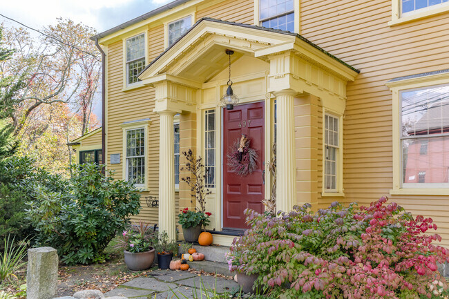
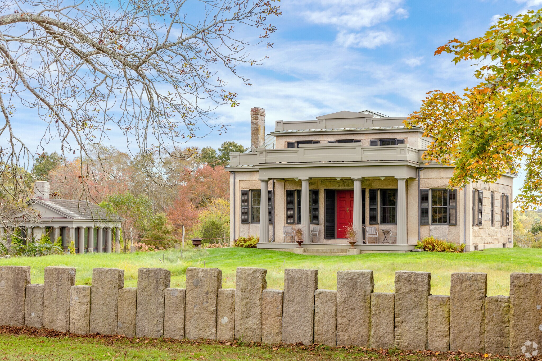
A stunning Greek revival masterpiece in the Head of Westport is made from local granite.
Housing for all budgets and needs
Housing options in terms of style and price are diverse, making Head of Westport welcoming to a variety of homebuyers. Those seeking modern fixtures and furnishings on a budget can find renovated condo units that start in the upper $200,000s. Suburbanites looking for newer construction on cul-de-sac can take their pick of contemporary Colonials on multi-acre lots for around $800,000. And for the reclusive buyers who want a grander estate, there are multi-million-dollar homes of 6,000 square feet that have river views.
The Westport Elementary School in Westport promotes love of lifelong learning for all students.
Dependable schools and UMass campus
A dependable school system enhances the neighborhood’s appeal. Westport Elementary, which enrolls nearly 450 students in grades 1-4, and has a student-teacher ratio of 14 to 1, has been given a B-minus grade from Niche. After a $97 million renovation completed in 2021, Westport Middle and Westport High were combined into one campus, Westport Junior/Senior High School, attended by students from grades 5 to 12. The student-teacher ratio for the combined school is still low at 12-1, and it has been given a B-minus grade. In the shared spaces between classes, there’s a cafeteria that features murals and photographs taken by students, as well as a “makerspace” for projects such as building boats. The University of Massachusetts at Dartmouth is located less than 4 miles from the Head of Westport neighborhood and offers academic programs in a broad range of disciplines, including health sciences, public policy, business, art and more.
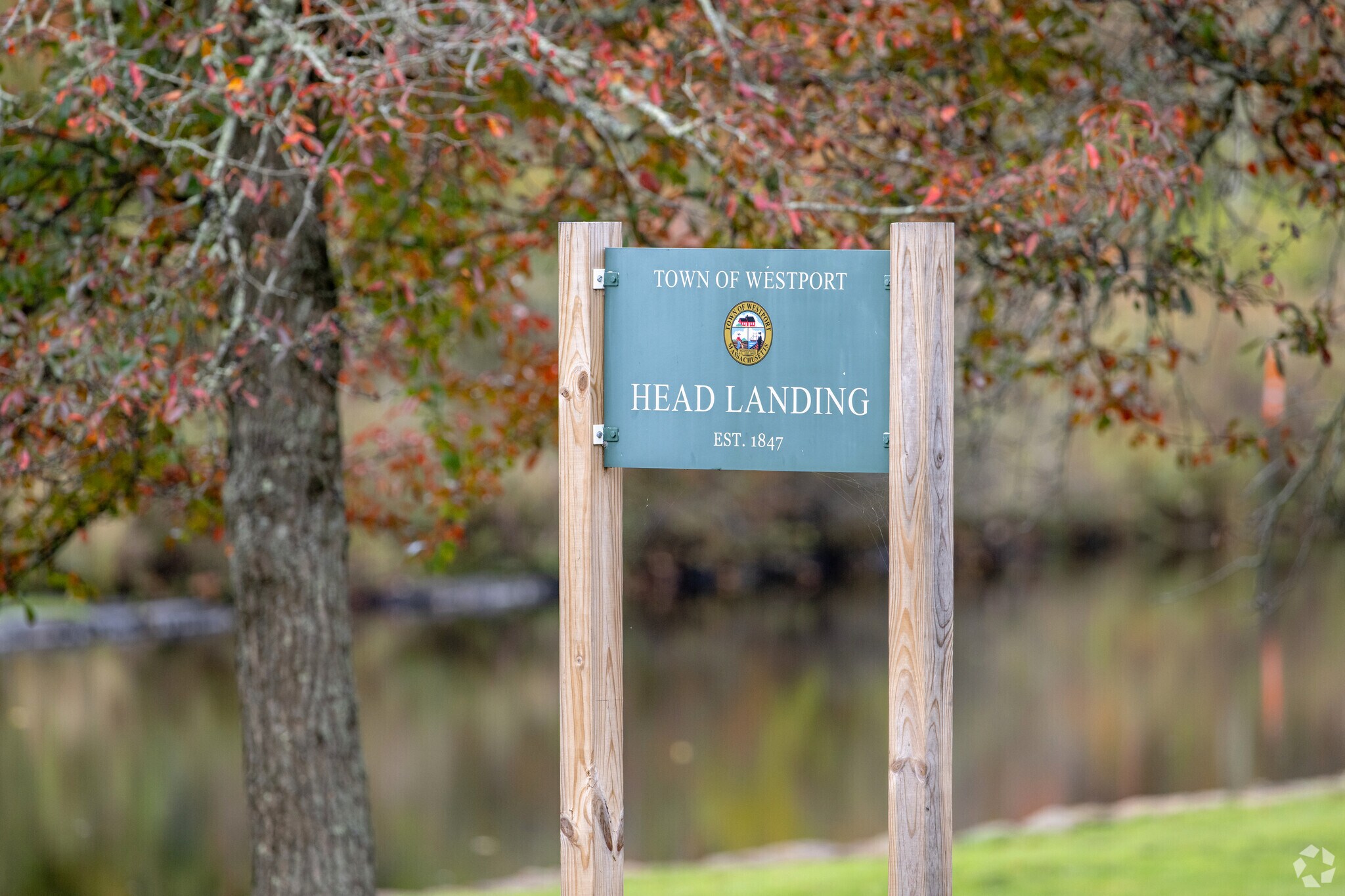
Head Landing is in the oldest section of the Head of Westport where barges and ships could dock.
Conservation areas ideal for hiking
Outdoor recreation is part of the lifestyle in Head of Westport, and the area is surrounded by conservation areas managed by the Westport Land Conservation Trust. Residents enjoy taking their kayaks to the Head of Westport Town Landing for an easygoing journey downstream past marshes, pastures and forests. At the Mill Pond Conservation Area, just north of the neighborhood, visitors can enjoy a scenic trail walk along the east branch of the Westport River, where they can spot birds and other wildlife.
Bootleg BBQ near the Head of Westport has plenty of seating to enjoy their fine BBQ.
Get your caffeine at the Wild Honey Café
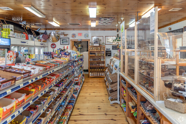
Route 88 passes through Head of Westport, and by taking this south, residents can reach grocery stores like Lee’s Market within 5 miles. Wild Honey Café is a popular local hangout that serves breakfast items like the lox bagel as well as creative drinks like the Almond Joy Latte. For a more substantial meal, Bootleg BBQ is a true roadside diner serving up big platters of smoked meats and other hunger busters like brisket sandwiches. Shopaholics can get their fix at the Dartmouth Mall, around 5 miles from Head of Westport, which features an array of department stores as well as a movie theater.
Stay local at the library, or take a day trip
The Westport Land Conservation Trust regularly holds community events to bring neighbors together. Group walks or trail runs are regularly coordinated, as well as seasonal events like themed crafting get-togethers that use materials visitors can collect on the trails. The Westport public library also hosts several groups and clubs, including themed book clubs and a knitting group, for regular meet-ups.
Residents can also plan a day trip to New Bedford, 8 miles from the Head of Westport neighborhood, to explore the town’s attractions, including art and history museums. The Buttonwood Park Zoo, also around 8 miles from the neighborhood, features exhibits of more than 50 endangered and threatened species, and hosts educational and family-focused events.
40 minutes to Providence
Interstate 195 is located about 10 miles north of Head of Westport, and can connect residents to Providence, RI in around 40 minutes depending on traffic. T.F. Green International Airport in Warwick, RI is about 33 miles from the neighborhood, a commute that will usually take around 45 minutes. The Route 9 bus operated by the Southeastern Regional Transit Authority connects New Bedford and Fall River, and includes a stop at the Walmart Supercenter off of Route 6, about 4 miles outside of the head of Westport neighborhood. The nearest full-service hospital is Charlton Memorial Hospital in Fall River, around 10 miles outside of Head of Westport.
GreatSchools:
The GreatSchools Rating helps parents compare schools within a state based on a variety of school quality indicators and provides a helpful picture of how effectively each school serves all of its students. Ratings are on a scale of 1 (below average) to 10 (above average) and can include test scores, college readiness, academic progress, advanced courses, equity, discipline and attendance data. We also advise parents to visit schools, consider other information on school performance and programs, and consider family needs as part of the school selection process.
View GreatSchools Rating Methodology
Are you familiar with the Head of Westport neighborhood?
to let others know what life in this neighborhood is like.
Crime and Safety
1 - Low Crime, 10 - High Crime
Head of Westport
US
Homicide
1
4
Sexual Assault
1
4
Assault with Weapon
2
4
Robbery
3
4
Burglary
2
4
Motor Vehicle Theft
2
4
Larceny
1
4
Crime Score
1
4
Source: WhatIsMyCrimeRisk.com
Head of Westport Demographics and Home Trends
On average, homes in Head of Westport, Westport sell after 75 days on the market compared to the national average of 53 days. The median sale price for homes in Head of Westport, Westport over the last 12 months is $625,000, down 28% from the median home sale price over the previous 12 months.
You will fall in love this new neighborhood being built by one of the most respected local builders. Welcome to the Darien - a home designed for the way people truly want to live. From the moment you step onto the inviting covered porch, there’s a sense of warmth and openness that carries throughout every room. Inside, sunlight fills the family room, where the glow of an electric fireplace
Beautiful 3.52 acres available in bucolic Hidden Glen. As its name suggests, this special location is tucked away abutting Drift Road, yet is close to Central Village and the breathtaking Westport beaches and provides easy access to RT 88. This cleared lot is set back and offers over 230 feet of road frontage on Hidden Glen, is mostly level, with some gentle sloping in areas, antique stonewalls
Sound Score® measures the noise level of any address. Transit Score® measures access to public transit. Bike Score® measures the bikeability of any address.
Disclaimer: Certain information contained herein is derived from information provided by parties other than Homes.com. Our sources include: Accuweather, Public Records and Neustar. All information provided is deemed reliable, but is not guaranteed to be accurate and should be independently verified.