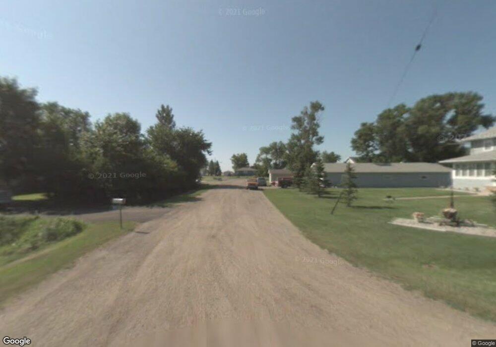
0 14 1 2 S Comstock, MN 56525
Estimated Value: $131,000 - $154,000
3
Beds
2
Baths
1,250
Sq Ft
$116/Sq Ft
Est. Value
About This Home
This home is located at 0 14 1 2 S, Comstock, MN 56525 and is currently estimated at $144,752, approximately $115 per square foot. 0 14 1 2 S is a home located in Clay County with nearby schools including Barnesville Elementary School and Barnesville Secondary School.
Ownership History
Date
Name
Owned For
Owner Type
Purchase Details
Closed on
Aug 30, 2024
Sold by
Lougheed Cassandra and Lougheed Wayne
Bought by
Johnson Timothy
Current Estimated Value
Home Financials for this Owner
Home Financials are based on the most recent Mortgage that was taken out on this home.
Original Mortgage
$127,070
Outstanding Balance
$125,721
Interest Rate
6.77%
Mortgage Type
New Conventional
Estimated Equity
$19,031
Purchase Details
Closed on
Aug 18, 2014
Sold by
Thorsell Jason L
Bought by
Lougheed Cassandra and Lougheed Wayne
Home Financials for this Owner
Home Financials are based on the most recent Mortgage that was taken out on this home.
Original Mortgage
$56,000
Interest Rate
4.14%
Mortgage Type
New Conventional
Purchase Details
Closed on
Dec 29, 2009
Sold by
Leclair Lisa K and Sand Lisa K
Bought by
Thorsell Jason L
Create a Home Valuation Report for This Property
The Home Valuation Report is an in-depth analysis detailing your home's value as well as a comparison with similar homes in the area
Purchase History
| Date | Buyer | Sale Price | Title Company |
|---|---|---|---|
| Johnson Timothy | $131,000 | -- | |
| Lougheed Cassandra | $70,000 | Title Co Of Fargo | |
| Thorsell Jason L | -- | None Available |
Source: Public Records
Mortgage History
| Date | Status | Borrower | Loan Amount |
|---|---|---|---|
| Open | Johnson Timothy | $127,070 | |
| Previous Owner | Lougheed Cassandra | $56,000 |
Source: Public Records
Tax History
| Year | Tax Paid | Tax Assessment Tax Assessment Total Assessment is a certain percentage of the fair market value that is determined by local assessors to be the total taxable value of land and additions on the property. | Land | Improvement |
|---|---|---|---|---|
| 2025 | $1,272 | $139,400 | $19,000 | $120,400 |
| 2024 | $1,272 | $145,200 | $19,000 | $126,200 |
| 2023 | $1,292 | $119,000 | $19,000 | $100,000 |
| 2022 | $1,390 | $109,900 | $19,000 | $90,900 |
| 2021 | $1,314 | $106,300 | $19,000 | $87,300 |
| 2020 | $1,298 | $100,400 | $18,400 | $82,000 |
| 2019 | $1,040 | $100,500 | $18,400 | $82,100 |
| 2018 | $1,006 | $100,600 | $18,400 | $82,200 |
| 2017 | $818 | $100,800 | $18,400 | $82,400 |
| 2016 | $820 | $74,600 | $7,800 | $66,800 |
| 2015 | $692 | $89,300 | $7,800 | $81,500 |
| 2014 | $732 | $89,300 | $7,800 | $81,500 |
Source: Public Records
Map
Nearby Homes
- 1742 160th Ave S
- 776 Riverbend Rd
- 204 Oxbow Cir
- 705 Main Ave
- TBD S Schnell Dr
- 1758 108th Ave S
- 8239 Hebgen Dr
- 8233 Hebgen Dr
- ### County Road 17 S
- 1250 76th Ave S
- 1520 75th Ave S
- 1572 75th Ave S
- 7441 15th St S
- 7494 Eagle Point Dr S
- 7471 16th St S
- 7448 16th St S
- 7454 21st St S
- 7421 18th St S
- 1465 Shawnas Place S
- 7360 20th St S
- 15935 20th St S
- 15935 1st St
- 1941 159th Ave S
- 200 Main St
- 0 Main St
- 430 Main St
- 1958 160th Ave S
- 15936 20th St S
- 1936 160th Ave S
- 1962 159th Ave S
- 15853 20th St S
- 1954 159th Ave S
- 15924 Railroad Ave
- 1938 159th Ave S
- 2012 160th Ave S
- 1936 159th Ave S
- 2039 159th Ave S
- 1934 160th Ave S
- 2022 160th Ave S
- 1924 160th Ave S
Your Personal Tour Guide
Ask me questions while you tour the home.