
Highlights
- No HOA
- Brush Vegetation
- Level Lot
About This Lot
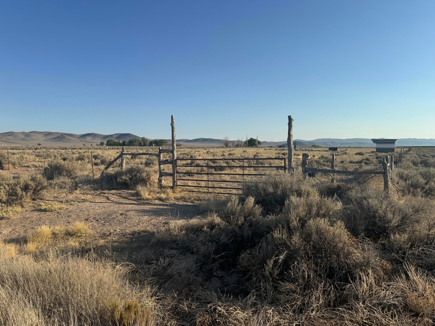
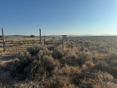
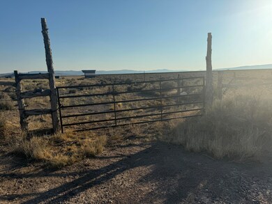
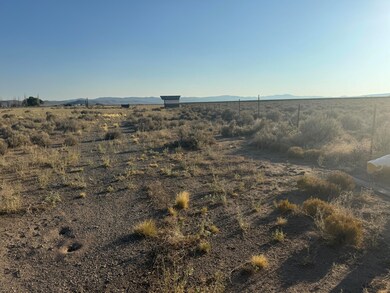
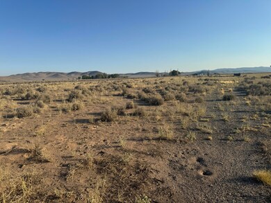
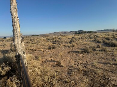
As of November 20245.02 acres with views, water, well, fully fenced, and power nearby. This property comes with 0.500 acft water right #71-5915, priority date 1956, and access to the neighboring well via well share agreement. No need to worry about finding/buying water rights or the expense of having a well drilled. Property is fully fenced and land was previously cleared of the sage brush. Power is only $12,750 away. Estimate is from Dixie Power. Come build your primary home, second or vacation home, bring your RV or recreation vehicle and toys. Bring your horses. Could be a great off grid property. Only 20 minutes from Newcastle Reservoir. Only 20 minutes to Enterprise for Restaurants, Grocery, Gas, Hardware, Medical, and other services. Only 50 minutes to Cedar City or St. George. Beryl is the future.
Last Agent to Sell the Property
KW St George Keller Williams Realty (Success 2) License #5555165-SA00

Last Buyer's Agent
KW St George Keller Williams Realty (Success 2) License #5555165-SA00
Property Details
Property Type
- Land
Est. Annual Taxes
- $65
Lot Details
- 5.02 Acre Lot
- Brush Vegetation
- Level Lot
- Property is zoned Residential Uni
Utilities
- Well
Community Details
- No Home Owners Association
- Escalante Valley Subdivision
Listing and Financial Details
- Legal Lot and Block 611 / C
- Assessor Parcel Number E-1610-0001-0033
Map
Home Values in the Area
Average Home Value in this Area
Property History
| Date | Event | Price | Change | Sq Ft Price |
|---|---|---|---|---|
| 11/26/2024 11/26/24 | Sold | -- | -- | -- |
| 08/22/2024 08/22/24 | Pending | -- | -- | -- |
| 08/01/2024 08/01/24 | For Sale | $70,000 | -- | -- |
Tax History
| Year | Tax Paid | Tax Assessment Tax Assessment Total Assessment is a certain percentage of the fair market value that is determined by local assessors to be the total taxable value of land and additions on the property. | Land | Improvement |
|---|---|---|---|---|
| 2023 | $65 | $8,310 | $7,530 | $780 |
| 2022 | $56 | $6,620 | $6,020 | $600 |
| 2021 | $48 | $5,620 | $5,020 | $600 |
| 2020 | $54 | $5,620 | $5,020 | $600 |
| 2019 | $56 | $5,620 | $5,020 | $600 |
| 2018 | $58 | $5,620 | $5,020 | $600 |
| 2017 | $57 | $5,620 | $5,020 | $600 |
| 2016 | $63 | $5,620 | $5,020 | $600 |
| 2015 | $67 | $5,620 | $0 | $0 |
| 2014 | $60 | $4,750 | $0 | $0 |
Mortgage History
| Date | Status | Loan Amount | Loan Type |
|---|---|---|---|
| Previous Owner | $45,000 | Seller Take Back |
Deed History
| Date | Type | Sale Price | Title Company |
|---|---|---|---|
| Warranty Deed | -- | Cedar Land Title | |
| Warranty Deed | -- | Cedar Land Title | |
| Warranty Deed | -- | -- | |
| Warranty Deed | -- | Inwest Title | |
| Warranty Deed | -- | Southern Utah Title Company | |
| Warranty Deed | -- | Southern Utah Title | |
| Warranty Deed | -- | -- | |
| Warranty Deed | -- | -- |
Source: Iron County Board of REALTORS®
MLS Number: 107900
APN: E-1610-0001-0033
- 0 5 Ac W Well #E-1610-0041-0000 Unit 105893
- 0 5 Ac W Well #E-1610-0041-0000 Unit 24-248919
- 3570 N 4150 W Unit 22
- 3570 N 4150 W
- 0 Water Right 5 Acre Foot Unit 108513
- 3300 W 3200 N
- 800 W 3200 N
- 3688 W 4000 N
- 2.30 Acres Utah 56
- 40.96 Acres Sec5 T35s R17w
- 1200 N 3100 W Unit Lots 14 & 15
- 0 39 09 Acres Unit 24-252144
- 0 39 09 Acres Unit 107392
- 0 N Lot 14 Escalante Valley Ranch Unit 110582
- 0 5 09 Acres With 5 Af of Water Unit 104913
- 0 5 09 Acres With 5 Af of Water Unit 23-246732
- 4610 N 2650 W
- 4.13 ACRES E-1584-0017-0000
- 0 4 13 Acres E-1584-0017-0000 Unit 110845
- 0 W 2600 N