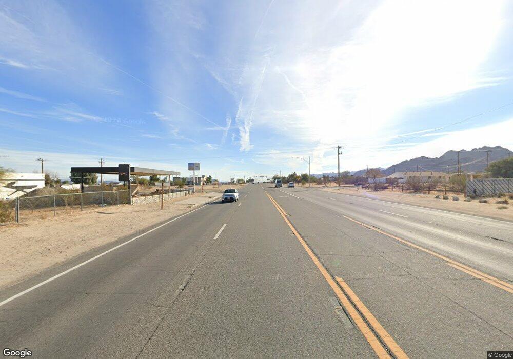
0 Acres Hwy 62 West of Sawanson Rd Joshua Tree, CA 92252
Estimated Value: $64,658 - $66,000
--
Bed
--
Bath
--
Sq Ft
2.5
Acres
About This Home
This home is located at 0 Acres Hwy 62 West of Sawanson Rd, Joshua Tree, CA 92252 and is currently estimated at $65,329. 0 Acres Hwy 62 West of Sawanson Rd is a home located in San Bernardino County with nearby schools including Oasis Elementary School, Twentynine Palms Junior High School, and Twentynine Palms High School.
Ownership History
Date
Name
Owned For
Owner Type
Purchase Details
Closed on
Aug 25, 2025
Sold by
Townley Shane and Shane Townley Art Foundation
Bought by
Townley Shane
Current Estimated Value
Purchase Details
Closed on
Dec 12, 2022
Sold by
Townley Shane
Bought by
Shane Townley Arts Foundation Inc
Purchase Details
Closed on
Mar 7, 2022
Sold by
Gary S Kading Trust and Kading Gary S
Bought by
Townley Shane
Purchase Details
Closed on
Dec 27, 2005
Sold by
Gillett Don L
Bought by
Kading Gary S
Purchase Details
Closed on
Jul 15, 2005
Sold by
Wilson Scott
Bought by
Gillett Don L
Create a Home Valuation Report for This Property
The Home Valuation Report is an in-depth analysis detailing your home's value as well as a comparison with similar homes in the area
Home Values in the Area
Average Home Value in this Area
Purchase History
| Date | Buyer | Sale Price | Title Company |
|---|---|---|---|
| Townley Shane | -- | None Listed On Document | |
| Shane Townley Arts Foundation Inc | -- | -- | |
| Townley Shane | $25,000 | Chicago Title | |
| Kading Gary S | $35,000 | Fidelity Nationaltitle Co | |
| Gillett Don L | $20,000 | Fidelity Nationaltitle Co | |
| Gillett Don L | -- | Fidelity Nationaltitle Co |
Source: Public Records
Tax History Compared to Growth
Tax History
| Year | Tax Paid | Tax Assessment Tax Assessment Total Assessment is a certain percentage of the fair market value that is determined by local assessors to be the total taxable value of land and additions on the property. | Land | Improvement |
|---|---|---|---|---|
| 2025 | $582 | $26,530 | $26,530 | -- |
| 2024 | $582 | $26,010 | $26,010 | -- |
| 2023 | $571 | $25,500 | $25,500 | $0 |
| 2022 | $804 | $45,073 | $45,073 | $0 |
| 2021 | $793 | $44,189 | $44,189 | $0 |
| 2020 | $784 | $43,736 | $43,736 | $0 |
| 2019 | $789 | $42,878 | $42,878 | $0 |
| 2018 | $624 | $42,037 | $42,037 | $0 |
| 2017 | $618 | $41,213 | $41,213 | $0 |
| 2016 | $608 | $40,405 | $40,405 | $0 |
| 2015 | $616 | $39,798 | $39,798 | $0 |
| 2014 | $599 | $39,018 | $39,018 | $0 |
Source: Public Records
Map
Nearby Homes
- 0 Twentynine Palms Hwy Unit JT25200350
- 0 Twentynine Palms Hwy Unit TR24192659
- 6658 El Rey Ave
- 29 Palms
- 29 Palms Unit 1
- 8.75 Acres Hwy 62 East of Sawanson Rd
- 0 29 Palms Hwy Unit 25560297
- 2.5 Acres Hwy 62 Near Robinson Dr
- 66154 Sullivan Rd
- 66425 Foothill Dr
- 0 Que Pass Ln Unit IV25159473
- 67428 Sullivan Rd
- 0 Cactus Dr
- 0 Cottonwood Dr Unit IV25076886
- 0 Cottonwood Dr Unit JT25135983
- 0 Cottonwood Dr Unit CV25126976
- 0 Wolfe Rd Unit JT25185144
- 0 Fran Lou Ln Unit HD24242493
- 7030 Mile Square Rd
- 0 Twentynine Palms Hwy Unit NP24173964
- 3 Acres Hwy 62 West of Sawanson Rd
- 2.5 Acres Hwy 62 West of Sawanson Rd
- 66811 29 Palms Hwy
- 53 Kerr Ave
- 2 Kerr Ave
- 67054 29 Palms Hwy
- 0 Kerr Ave and Twentynine Palms Hwy Unit 1 220024061
- 999 Kerr
- 0 Off Swanson Rd Unit 219087245
- 0 Acres Hwy 62 E of Copper Mesa Rd Unit 219057994DA
- 0 Acres Hwy 62 E of Copper Mesa Rd Unit 219074990DA
- 6969 Stone Pine Rd
- 0 Twentynine Palms Hwy Unit JT15152151
- 0 Twentynine Palms Hwy Unit JT18028752
- 0 Twentynine Palms Hwy Unit DC21128626
- 0 Twentynine Palms Hwy Unit I10109293
- 0 Twentynine Palms Hwy Unit DC21133840
- 0 Twentynine Palms Hwy Unit DC11115962
- 0 Twentynine Palms Hwy Unit I11139141
- 0 Twentynine Palms Hwy Unit DC12117266