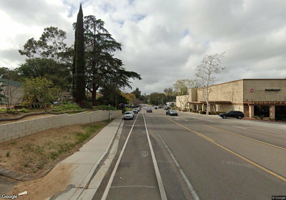
0 Ammunition Rd Unit 180010561 Fallbrook, CA 92028
Studio
--
Bath
--
Sq Ft
0.67
Acres
About This Home
This home is located at 0 Ammunition Rd Unit 180010561, Fallbrook, CA 92028. 0 Ammunition Rd Unit 180010561 is a home located in San Diego County with nearby schools including La Paloma Elementary School, James E. Potter Intermediate School, and Fallbrook High School.
Ownership History
Date
Name
Owned For
Owner Type
Purchase Details
Closed on
Dec 8, 2023
Sold by
San Diego Financial Services Inc and Lion Financial Inc
Bought by
Nwb Falibrook Llc
Purchase Details
Closed on
Mar 8, 2013
Sold by
Fallbrook Self Storage Inc
Bought by
San Diego Financial Services Inc
Purchase Details
Closed on
Apr 26, 2006
Sold by
Fallbrook Property Joint Venture
Bought by
Fallbrook Self Storage Inc
Home Financials for this Owner
Home Financials are based on the most recent Mortgage that was taken out on this home.
Original Mortgage
$250,000
Interest Rate
6.29%
Mortgage Type
Purchase Money Mortgage
Purchase Details
Closed on
Dec 4, 1989
Purchase Details
Closed on
Nov 17, 1986
Create a Home Valuation Report for This Property
The Home Valuation Report is an in-depth analysis detailing your home's value as well as a comparison with similar homes in the area
Home Values in the Area
Average Home Value in this Area
Purchase History
| Date | Buyer | Sale Price | Title Company |
|---|---|---|---|
| Nwb Falibrook Llc | $599,000 | First American Title Insurance | |
| San Diego Financial Services Inc | $100,400 | None Available | |
| Fallbrook Self Storage Inc | $500,000 | Commonwealth Land Title Co | |
| Fallbrook Property Joint Venture | -- | Commonwealth Land Title Co | |
| -- | $255,000 | -- | |
| -- | $215,000 | -- |
Source: Public Records
Mortgage History
| Date | Status | Borrower | Loan Amount |
|---|---|---|---|
| Previous Owner | Fallbrook Property Joint Venture | $250,000 |
Source: Public Records
Tax History
| Year | Tax Paid | Tax Assessment Tax Assessment Total Assessment is a certain percentage of the fair market value that is determined by local assessors to be the total taxable value of land and additions on the property. | Land | Improvement |
|---|---|---|---|---|
| 2025 | $3,637 | $406,980 | $406,980 | -- |
| 2024 | $3,637 | $338,034 | $338,034 | -- |
| 2023 | $3,540 | $331,406 | $331,406 | $0 |
| 2022 | $3,542 | $324,908 | $324,908 | $0 |
| 2021 | $3,423 | $318,538 | $318,538 | $0 |
| 2020 | $3,449 | $315,272 | $315,272 | $0 |
| 2019 | $3,381 | $309,091 | $309,091 | $0 |
| 2018 | $3,331 | $303,031 | $303,031 | $0 |
| 2017 | $3,266 | $297,090 | $297,090 | $0 |
| 2016 | $3,185 | $291,265 | $291,265 | $0 |
| 2015 | $3,135 | $286,890 | $286,890 | $0 |
| 2014 | $3,096 | $281,271 | $281,271 | $0 |
Source: Public Records
Map
Nearby Homes
- 540 Teran Dr
- 445 Poets Square
- 1455 Alturas Rd Unit 46
- 1455 Alturas Rd Unit 89
- 1455 Alturas Rd Unit 55
- 206 Via Oro Verde
- 522 S Pico Ave
- 0 Laurine Ln
- 1735 S Mission Rd
- 508 Village View Place
- 502 E Elder St
- 190 Mission Oaks Rd
- 0 Mission Rd Unit None
- 0 Mission Rd Unit IG25148608
- 0 Mission Rd Unit NDP2506959
- 408 N Pico Ave
- 820 Cookie Ln
- 422 Potter St
- 931 La Rue Ave
- 569 Inverlochy Dr
- 447 Ammunition Rd
- 1214 Alturas Rd
- 1187 Alturas Rd Unit 89
- 450 Ammunition Rd
- 470 Ammunition Rd Unit 88
- 442 Ammunition Rd Unit 48
- 1149 Alturas Rd
- 430 Ammunition Rd Unit 40
- 1222 Alturas Rd
- 501 Ammunition Rd Unit ion Rd 4
- 501 Ammunition Rd
- 426 Ammunition Rd
- 426 Ammunition Rd Unit ion Road
- 426 Ammunition Rd
- 1151 Alturas Rd Unit 57
- 1244 Alturas Rd
- 505 Ammunition Rd
- 1245 Alturas Rd
- 1264 Alturas Rd
- 1111 Alturas Rd
