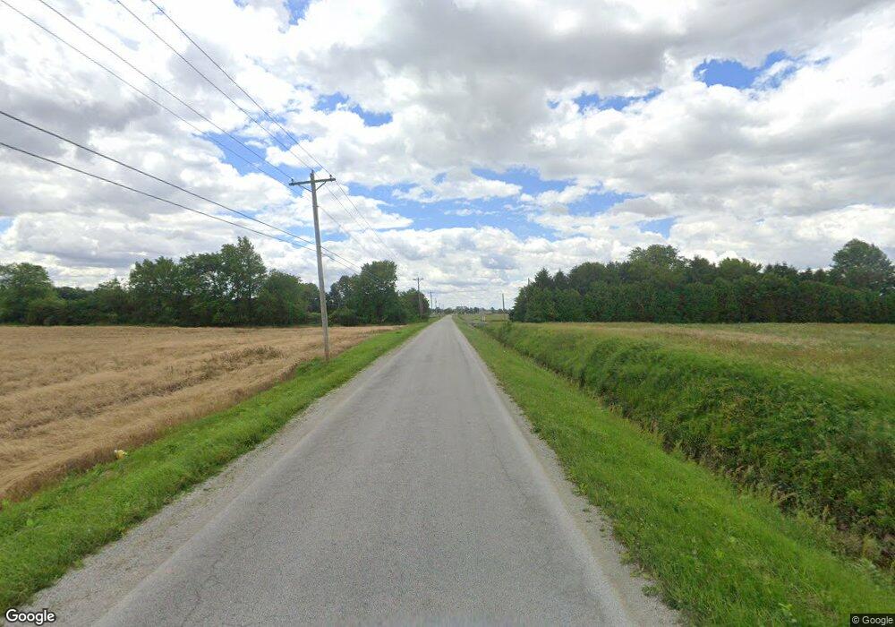
Estimated Value: $364,000
3
Beds
1
Bath
1,282
Sq Ft
$284/Sq Ft
Est. Value
About This Home
This home is located at 0 Bloomdale Rd, Wayne, OH 43466 and is currently estimated at $364,000, approximately $283 per square foot. 0 Bloomdale Rd is a home located in Wood County with nearby schools including Elmwood Elementary School, Elmwood Middle School, and Elmwood High School.
Ownership History
Date
Name
Owned For
Owner Type
Purchase Details
Closed on
Sep 2, 2011
Sold by
Benschoter Franklin J
Bought by
Davis Patrick L
Current Estimated Value
Home Financials for this Owner
Home Financials are based on the most recent Mortgage that was taken out on this home.
Original Mortgage
$74,000
Outstanding Balance
$50,525
Interest Rate
4.58%
Mortgage Type
Future Advance Clause Open End Mortgage
Estimated Equity
$313,475
Purchase Details
Closed on
Jan 17, 2007
Sold by
Benschoter Franklin J
Bought by
Benschoter Franklin J
Purchase Details
Closed on
May 6, 2005
Sold by
Benschoter Franklin J
Bought by
Beard Samantha L
Home Financials for this Owner
Home Financials are based on the most recent Mortgage that was taken out on this home.
Original Mortgage
$20,000
Interest Rate
8%
Mortgage Type
Fannie Mae Freddie Mac
Purchase Details
Closed on
Nov 9, 1984
Bought by
Benschoter Franklin J
Create a Home Valuation Report for This Property
The Home Valuation Report is an in-depth analysis detailing your home's value as well as a comparison with similar homes in the area
Purchase History
| Date | Buyer | Sale Price | Title Company |
|---|---|---|---|
| Davis Patrick L | $148,000 | Attorney | |
| Benschoter Franklin J | -- | None Available | |
| Beard Samantha L | $20,000 | -- | |
| Benschoter Franklin J | -- | -- |
Source: Public Records
Mortgage History
| Date | Status | Borrower | Loan Amount |
|---|---|---|---|
| Open | Davis Patrick L | $74,000 | |
| Previous Owner | Beard Samantha L | $20,000 |
Source: Public Records
Map
Nearby Homes
- 210 Union St
- 9943 Wayne Rd
- 145 W Bryant St
- 101 Gorrill Dr
- 0 Cygnet Rd
- 188 Washington St
- 440 Walbridge St
- 351 Front St
- 117 Maple St
- 0 S Dixie Hwy
- 1897 Bays Rd
- 1116 Mourning Dove Ln
- 3266 Bloomdale Rd
- 7563 County Road 21
- 408 S Prospect St
- 119 E Main St
- 1575 Bowling Green Rd E
- 14732 Sand Ridge Rd
- 14580 Sand Ridge Rd
- 900 Tomahawk Ln
- 8269 Mermill Rd
- 7632 Mermill Rd
- 7631 Mermill Rd
- 9339 Bloomdale Rd
- 9669 Reynolds Rd
- 10329 Bloomdale Rd
- 9525 Reynolds Rd
- 0 Reynolds Rd Lot D Unit 4640996
- 0 Reynolds Rd Lot D Unit 4654321
- 0 Reynolds Rd Lot D Unit 4601429
- 0 Reynolds Rd Lot D Unit 4624932
- 9672 Reynolds Rd
- 0 Reynolds Rd Lot B
- 0 Reynolds Rd Lot A
- 0 Reynolds Rd Lot C
- 9626 Reynolds Rd
- 7485 Mermill Rd
- 9600 Reynolds Rd
- 9536 Reynolds Rd
- 9211 Bloomdale Rd
Your Personal Tour Guide
Ask me questions while you tour the home.
