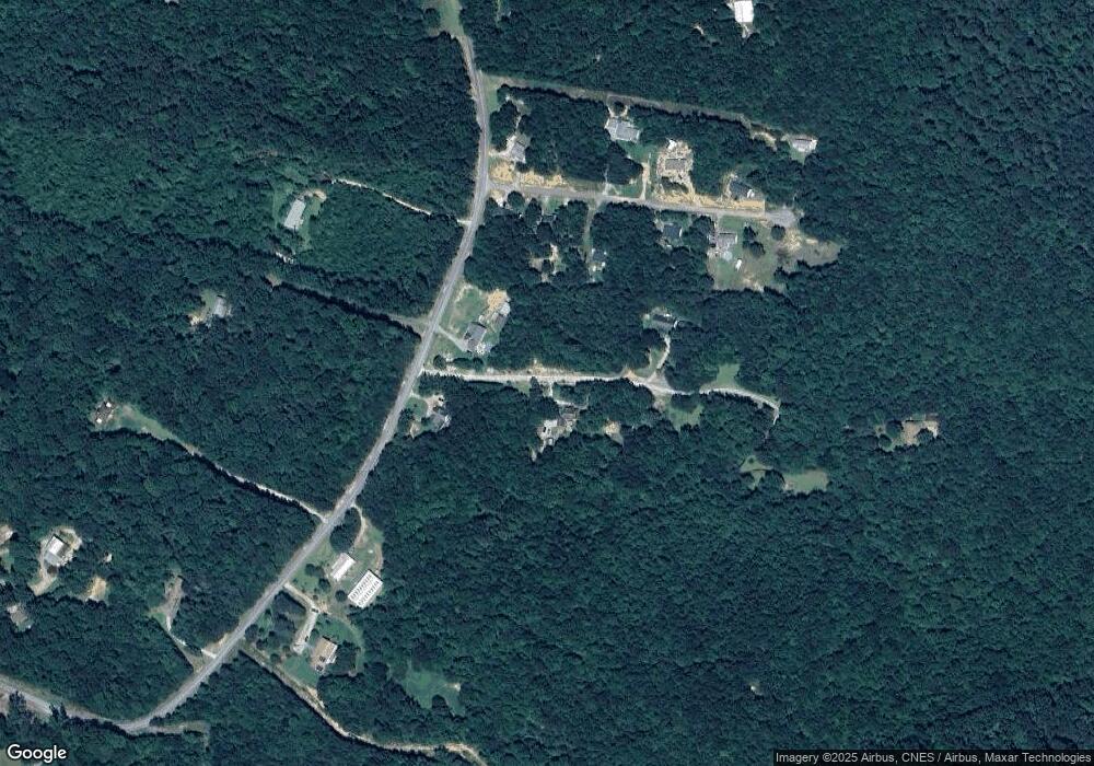
0 Bobcat Trail Unit LOT 9/ 2602141 Toccoa, GA 30577
Estimated Value: $350,583 - $384,000
3
Beds
2
Baths
2,480
Sq Ft
$148/Sq Ft
Est. Value
About This Home
This home is located at 0 Bobcat Trail Unit LOT 9/ 2602141, Toccoa, GA 30577 and is currently estimated at $366,646, approximately $147 per square foot. 0 Bobcat Trail Unit LOT 9/ 2602141 is a home located in Stephens County with nearby schools including Stephens County High School.
Ownership History
Date
Name
Owned For
Owner Type
Purchase Details
Closed on
Dec 1, 2020
Sold by
White Karen A
Bought by
Baskette Donnie and Baskette Lesley
Current Estimated Value
Home Financials for this Owner
Home Financials are based on the most recent Mortgage that was taken out on this home.
Original Mortgage
$224,100
Outstanding Balance
$199,516
Interest Rate
2.7%
Mortgage Type
New Conventional
Estimated Equity
$167,130
Purchase Details
Closed on
Mar 21, 2016
Sold by
Coleman Michael Paul
Bought by
White Karen A
Purchase Details
Closed on
Sep 23, 2010
Sold by
Viverette Paul
Bought by
Coleman Michael Paul
Home Financials for this Owner
Home Financials are based on the most recent Mortgage that was taken out on this home.
Original Mortgage
$206,222
Interest Rate
4.42%
Mortgage Type
FHA
Purchase Details
Closed on
Nov 17, 2006
Sold by
Howard Mary Frances
Bought by
Viverette Paul
Purchase Details
Closed on
Nov 10, 2004
Bought by
<Buyer Info Not Present>
Purchase Details
Closed on
Oct 7, 2004
Bought by
<Buyer Info Not Present>
Purchase Details
Closed on
May 1, 1998
Bought by
<Buyer Info Not Present>
Create a Home Valuation Report for This Property
The Home Valuation Report is an in-depth analysis detailing your home's value as well as a comparison with similar homes in the area
Home Values in the Area
Average Home Value in this Area
Purchase History
| Date | Buyer | Sale Price | Title Company |
|---|---|---|---|
| Baskette Donnie | $249,000 | -- | |
| White Karen A | $159,900 | -- | |
| Coleman Michael Paul | $209,000 | -- | |
| Viverette Paul | $14,000 | -- | |
| Viverette Paul | $14,000 | -- | |
| <Buyer Info Not Present> | $10,000 | -- | |
| <Buyer Info Not Present> | $8,500 | -- | |
| <Buyer Info Not Present> | $20,900 | -- |
Source: Public Records
Mortgage History
| Date | Status | Borrower | Loan Amount |
|---|---|---|---|
| Open | Baskette Donnie | $224,100 | |
| Previous Owner | Coleman Michael Paul | $206,222 |
Source: Public Records
Tax History Compared to Growth
Tax History
| Year | Tax Paid | Tax Assessment Tax Assessment Total Assessment is a certain percentage of the fair market value that is determined by local assessors to be the total taxable value of land and additions on the property. | Land | Improvement |
|---|---|---|---|---|
| 2024 | $2,069 | $103,024 | $4,252 | $98,772 |
| 2023 | $1,836 | $96,550 | $4,252 | $92,298 |
| 2022 | $1,721 | $92,694 | $4,252 | $88,442 |
| 2021 | $1,568 | $85,041 | $3,511 | $81,530 |
| 2020 | $1,552 | $85,079 | $3,511 | $81,568 |
| 2019 | $1,558 | $85,079 | $3,511 | $81,568 |
| 2018 | $1,558 | $85,079 | $3,511 | $81,568 |
| 2017 | $903 | $86,551 | $3,511 | $83,040 |
| 2016 | $2,681 | $86,551 | $3,511 | $83,040 |
| 2015 | $2,821 | $86,951 | $3,511 | $83,440 |
| 2014 | $2,868 | $86,951 | $3,511 | $83,440 |
| 2013 | -- | $86,951 | $3,511 | $83,440 |
Source: Public Records
Map
Nearby Homes
- 184 Scott Cir
- 1662 Carnes Creek Rd
- 1387 Mize Rd
- 97 Hillside Dr
- 0 Switchback Run Unit 10437289
- 275 Southern Trace
- 255 Southern Trace
- 215 Old Mize Rd
- 151 Richardson St
- 770 Buena Vista Dr
- 136 Julia Ct
- 140 Julia Ct
- 160 Buena Vista Dr
- 475 Hilltop Way
- 9369 Sherwood Ct
- 189 Julia Ln
- 372 Hilltop Way
- 739 Poplar St
- 1037 S Pond St
- 1009 S Pond St
