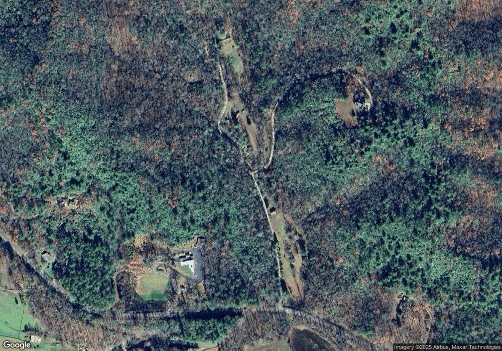
0 Bryes Place Ln Unit 2706716 Dillard, GA 30537
Estimated Value: $555,000 - $786,299
3
Beds
4
Baths
1,948
Sq Ft
$352/Sq Ft
Est. Value
About This Home
This home is located at 0 Bryes Place Ln Unit 2706716, Dillard, GA 30537 and is currently estimated at $685,766, approximately $352 per square foot. 0 Bryes Place Ln Unit 2706716 is a home located in Rabun County with nearby schools including Rabun County Primary School, Rabun County High School, and Rabun Gap Nacoochee School.
Ownership History
Date
Name
Owned For
Owner Type
Purchase Details
Closed on
Jul 31, 2017
Sold by
Seedtick Properties Llc
Bought by
Anderson James L and Anderson Dianne H
Current Estimated Value
Purchase Details
Closed on
Oct 31, 2013
Sold by
West Edwin L
Bought by
Seedtick Properties Llc
Home Financials for this Owner
Home Financials are based on the most recent Mortgage that was taken out on this home.
Original Mortgage
$60,000
Interest Rate
4.23%
Mortgage Type
New Conventional
Purchase Details
Closed on
Jun 21, 2005
Sold by
Darnell Jacqueline
Bought by
West Edwin and West Denise
Create a Home Valuation Report for This Property
The Home Valuation Report is an in-depth analysis detailing your home's value as well as a comparison with similar homes in the area
Home Values in the Area
Average Home Value in this Area
Purchase History
| Date | Buyer | Sale Price | Title Company |
|---|---|---|---|
| Anderson James L | $70,000 | -- | |
| Anderson James L | $70,000 | -- | |
| Anderson James L | $70,000 | -- | |
| Anderson James L | $70,000 | -- | |
| Seedtick Properties Llc | $60,000 | -- | |
| Seedtick Properties Llc | $60,000 | -- | |
| Seedtick Properties Llc | $60,000 | -- | |
| Seedtick Properties Llc | $60,000 | -- | |
| West Edwin | $193,460 | -- | |
| West Edwin | $193,460 | -- | |
| West Edwin | $193,460 | -- | |
| West Edwin | $193,460 | -- |
Source: Public Records
Mortgage History
| Date | Status | Borrower | Loan Amount |
|---|---|---|---|
| Previous Owner | Seedtick Properties Llc | $60,000 |
Source: Public Records
Tax History Compared to Growth
Tax History
| Year | Tax Paid | Tax Assessment Tax Assessment Total Assessment is a certain percentage of the fair market value that is determined by local assessors to be the total taxable value of land and additions on the property. | Land | Improvement |
|---|---|---|---|---|
| 2025 | $3,623 | $233,827 | $34,249 | $199,578 |
| 2024 | $3,540 | $222,543 | $34,249 | $188,294 |
| 2023 | $3,669 | $200,479 | $31,136 | $169,343 |
| 2022 | $570 | $31,136 | $31,136 | $0 |
| 2021 | $555 | $29,579 | $29,579 | $0 |
| 2020 | $574 | $29,579 | $29,579 | $0 |
| 2019 | $578 | $29,579 | $29,579 | $0 |
| 2018 | $549 | $29,579 | $29,579 | $0 |
| 2017 | $556 | $29,579 | $29,579 | $0 |
| 2016 | $558 | $29,579 | $29,579 | $0 |
| 2015 | $570 | $29,579 | $29,579 | $0 |
| 2014 | $573 | $29,579 | $29,579 | $0 |
Source: Public Records
Map
Nearby Homes
- 108 Olds Mountain Peak Rd
- 0 Ov Justus Rd
- LOT SM4 Raven Fork Trail
- 73 Redbird Ln
- 0 Smokey Hollow Dr Unit LOT 27 10561110
- LOT 18 Wynngate Dr
- 00 Mulberry Rd
- 1500 Park Vista Trail
- 571 Ledford Rd
- 786 Hope Haven Ln
- 243 Degroff Ln
- 0 Sheep Cliff Way Unit 10533863
- 0 Zoellner Ln
- 0 N U S 441 NW Unit 10489249
- 0 Us-441 S Unit 10226435
- 205 Carolina St
- 0 Wolffork Rd Unit 10624471
- 0 Ledford Rd Unit 10436918
- 0 Wild Turkey Run
- 0 Allen Cove Rd Unit 10586573
- 0 Bryes Place Ln Unit 3290494
- 0 Bryes Place Unit 7474286
- 86 Bryes
- 368 Bryes Place Ln
- 279 Bryes Place Ln
- 2480 Bettys Creek Rd
- 101 High Darnell Rd
- 2978 Bettys Creek Rd
- 0 Bettys Creek Rd Unit 2784851
- 0 Bettys Creek Rd Unit 7099585
- 0 Bettys Creek Rd Unit 7296176
- 2419 Bettys Creek Rd
- 0 Tom Wilson Ln
- 2907 Bettys Creek Rd
- 65 Magnolia Ln
- 328 Tom Wilson Ln
- 3294 Bettys Creek Rd
- 402 Paul Grist Ln
- 2168 Bettys Creek Rd
- 490 High Darnell Rd
