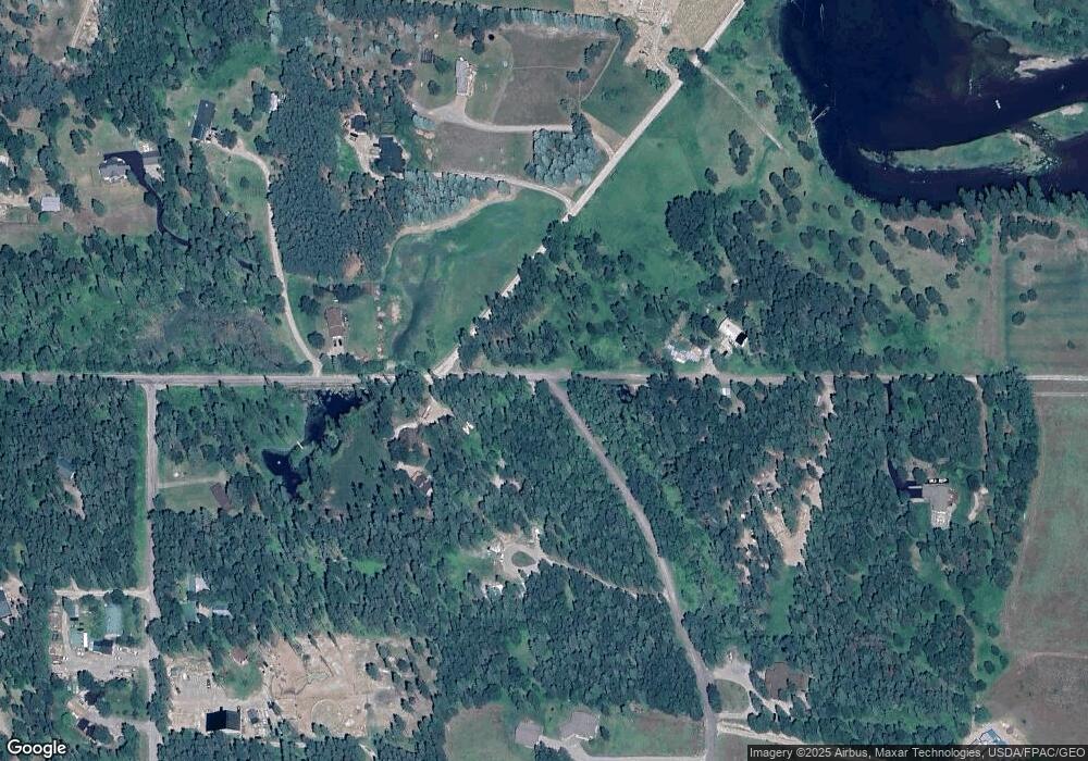
0 Carly Ln Bigfork, MT 59911
Estimated Value: $977,000 - $1,505,322
1
Bed
1
Bath
780
Sq Ft
$1,518/Sq Ft
Est. Value
About This Home
This home is located at 0 Carly Ln, Bigfork, MT 59911 and is currently estimated at $1,183,774, approximately $1,517 per square foot. 0 Carly Ln is a home located in Flathead County with nearby schools including Bigfork Elementary School, Bigfork Junior High School, and Bigfork High School.
Ownership History
Date
Name
Owned For
Owner Type
Purchase Details
Closed on
Dec 13, 2023
Sold by
Knoll Mallery and Simac Dylan
Bought by
Knoll Mary C
Current Estimated Value
Purchase Details
Closed on
Jun 11, 2023
Sold by
Knoll Mallery
Bought by
Knoll Family Trust
Purchase Details
Closed on
Feb 9, 2022
Sold by
Field Of Dreams Unlimited Llc
Bought by
Knoll Mary C and Knoll William D
Home Financials for this Owner
Home Financials are based on the most recent Mortgage that was taken out on this home.
Original Mortgage
$250,000
Interest Rate
3.56%
Mortgage Type
Seller Take Back
Create a Home Valuation Report for This Property
The Home Valuation Report is an in-depth analysis detailing your home's value as well as a comparison with similar homes in the area
Home Values in the Area
Average Home Value in this Area
Purchase History
Date | Buyer | Sale Price | Title Company |
---|---|---|---|
Knoll Mary C | -- | None Listed On Document | |
Knoll Family Trust | -- | None Listed On Document | |
Knoll Mary C | -- | Fidelity National Title |
Source: Public Records
Mortgage History
Date | Status | Borrower | Loan Amount |
---|---|---|---|
Previous Owner | Knoll Mallery | $525,000 | |
Previous Owner | Knoll Mary C | $250,000 |
Source: Public Records
Tax History Compared to Growth
Tax History
Year | Tax Paid | Tax Assessment Tax Assessment Total Assessment is a certain percentage of the fair market value that is determined by local assessors to be the total taxable value of land and additions on the property. | Land | Improvement |
---|---|---|---|---|
2024 | $4,839 | $1,004,691 | $0 | $0 |
2023 | $1,544 | $267,682 | $0 | $0 |
2022 | $1,564 | $189,443 | $0 | $0 |
2021 | $1,586 | $189,443 | $0 | $0 |
2020 | $1,559 | $173,619 | $0 | $0 |
2019 | $1,504 | $173,619 | $0 | $0 |
2018 | $1,419 | $152,883 | $0 | $0 |
2017 | $1,404 | $152,883 | $0 | $0 |
2016 | $1,300 | $140,508 | $0 | $0 |
2015 | $1,181 | $140,508 | $0 | $0 |
2014 | $1,278 | $90,545 | $0 | $0 |
Source: Public Records
Map
Nearby Homes
- 518 Eastman Dr
- 315 Ferndale Dr Unit Lot 24
- 253 Aero Ln
- 200 Marken Loop
- 285 Shady Ln
- 220 Ferndale Dr
- 1365 Mount Highway 209
- 1075 Swan Horseshoe Dr
- 950 Swan River Rd
- 936 Swan River Rd
- 30580 Cayuse Ln
- 734 Swan River Rd
- 12143 Crane Mountain Rd
- 1 Red Owl Rd
- 20 Red Owl Rd
- 29529 Morning View Ln
- 2 Red Owl Rd
- 3 Snowy Owl Ln
- 4 Snowy Owl Ln
- 19 Red Owl Rd