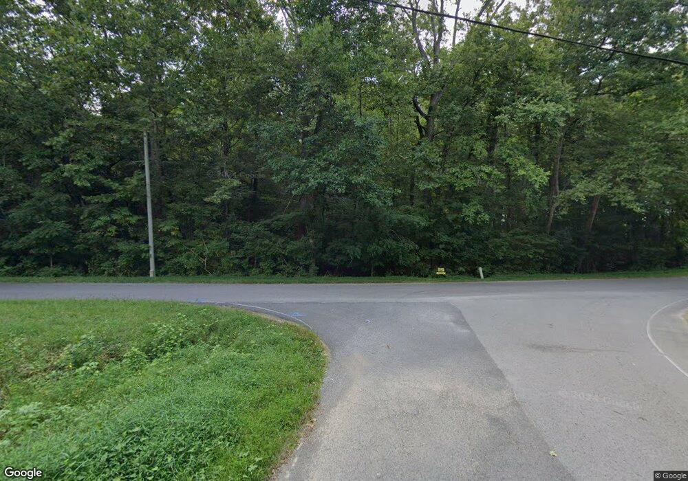
0 Cedar Hill Unit RTC2548509 Chapmansboro, TN 37035
Estimated Value: $486,000 - $732,000
--
Bed
1
Bath
2,006
Sq Ft
$323/Sq Ft
Est. Value
About This Home
This home is located at 0 Cedar Hill Unit RTC2548509, Chapmansboro, TN 37035 and is currently estimated at $647,473, approximately $322 per square foot. 0 Cedar Hill Unit RTC2548509 is a home located in Cheatham County with nearby schools including Pleasant View Elementary School, Sycamore Middle School, and Sycamore High School.
Ownership History
Date
Name
Owned For
Owner Type
Purchase Details
Closed on
Jul 5, 2017
Sold by
Fireside Properties Llc
Bought by
Lovell Angela Y
Current Estimated Value
Purchase Details
Closed on
Oct 24, 2005
Sold by
Maxey Sarah C
Bought by
Fiireside Properties Llc
Purchase Details
Closed on
Jan 27, 2000
Bought by
Maxey Joseph M
Purchase Details
Closed on
Feb 10, 1998
Bought by
Maxey Joseph M and Maxey Teresa C
Purchase Details
Closed on
Jan 10, 1958
Bought by
Maxey Maxey V and Maxey Martin
Create a Home Valuation Report for This Property
The Home Valuation Report is an in-depth analysis detailing your home's value as well as a comparison with similar homes in the area
Home Values in the Area
Average Home Value in this Area
Purchase History
| Date | Buyer | Sale Price | Title Company |
|---|---|---|---|
| Lovell Angela Y | -- | None Available | |
| Fiireside Properties Llc | $200,000 | -- | |
| Maxey Joseph M | $118,000 | -- | |
| Maxey Joseph M | -- | -- | |
| Maxey Maxey V | -- | -- |
Source: Public Records
Tax History Compared to Growth
Tax History
| Year | Tax Paid | Tax Assessment Tax Assessment Total Assessment is a certain percentage of the fair market value that is determined by local assessors to be the total taxable value of land and additions on the property. | Land | Improvement |
|---|---|---|---|---|
| 2024 | $1,479 | $85,475 | $29,525 | $55,950 |
| 2023 | $1,555 | $54,600 | $16,425 | $38,175 |
| 2022 | $1,469 | $54,600 | $16,425 | $38,175 |
| 2021 | $1,485 | $54,600 | $16,425 | $38,175 |
| 2020 | $1,485 | $55,150 | $16,425 | $38,725 |
| 2019 | $1,485 | $55,150 | $16,425 | $38,725 |
| 2018 | $1,420 | $45,225 | $12,375 | $32,850 |
| 2017 | $1,343 | $45,225 | $12,375 | $32,850 |
| 2016 | $1,278 | $45,225 | $12,375 | $32,850 |
| 2015 | $1,238 | $41,000 | $12,375 | $28,625 |
| 2014 | $1,238 | $41,000 | $12,375 | $28,625 |
Source: Public Records
Map
Nearby Homes
- 0 Cedar Hill Unit RTC2944570
- 1018 Interstate Park Cir
- 55 Bear Branch Place
- 0 Kathleen Dr
- 315 Peggy Dr
- 0 Ross Rd
- 5181 Thomasville Rd
- 1 Maxey Rd
- 1136 Dimple Rd
- 1810 Old Clarksville Pike
- 1140 Bateman Ct
- 1726 Old Clarksville Pike
- 1 Old Clarksville Pike
- 2942 Ridge Rd
- 0 Old Clarksville Pike Unit RTC2787076
- 3501 Ridge Rd
- 2220 Pleasant View Rd
- 1985 Country View
- 258 Oak Plains Rd
- 5075 Old Clarksville Pike
- 1005 Dorris Winters Rd
- 1009 Dorris Winters Rd
- 1021 Dorris Winters Rd
- 7595 Highway 41a
- 7570 Highway 41a
- 7545 Highway 41 A
- 7545 Highway 41a
- 7560 Highway 41a
- 1020 Dorris Winters Rd
- 7525 Highway 41a
- 1035 Dorris Winters Rd
- 1037 Dorris Winters Rd
- 7531 Highway 41a
- 7575 Highway 41a
- 0 Maxey Rd
- 1039 Dorris Winters Rd
- 2777 Maxey Rd
- 1006 Interstate Cir
- 1006 Interstate Park Cir
- 1003 Interstate Park Cir
