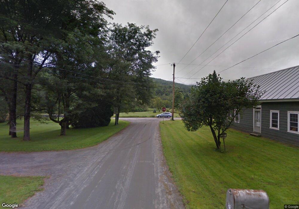
0 Chase Rd Unit 21070223 Montpelier, VT 05602
Estimated payment $9,328/month
Highlights
- Waterfront
- Hilly Lot
- Wooded Lot
- Moretown Elementary School Rated A
- Creek On Lot
- Equipment Barn
About This Lot
Now offered at an improved price, Chase Mountain Forest presents exceptional opportunities for a multiple-use investment at a price well below the capital timber value of $1,584,300. This mature forest presents opportunities for immediate timber harvesting, sugaring, or conservation goals and a 2-acre building envelope for those looking to live close to their investment.
Investment highlights include:
-Recent 2024 sugarbush inventory revealed 44,864 taps with an additional 18,314 potential taps within the 5-8 diameter size classes.
-Exceptional timber resource with capital timber value estimated to be $1,584,300.
-Long town road frontage with developed internal woods trails.
-Secure access with roadside power.
-Attractive location within 7 miles of Vermont's capital city, Montpelier, and 39 miles to Burlington, Vermont's most populous city.
-An old house and 2.0 acres outside the land's conservation easement, near the end of a quiet, town-maintained road, with options to repair the existing homestead or build new to suit.
-Protection by a conservation easement, allowing sugarbush operations, forest management, and development of associated support infrastructure.
Location
Chase Mountain Forest is located in central Vermont, a region known for nurturing productive stands of sugar maple and other commonly occurring northern hardwoods. The area also benefits from a diverse array of regional and local markets for forest products, including sawlogs, veneer, pulpwood, and maple sap/syrup outlets. The surrounding landscape is mountainous and heavily wooded overall.
The property is 15 minutes from Montpelier, the state capital of Vermont, and Interstate 89. The forest is within the towns of Moretown and Berlin. The city of Montpelier and surrounding towns are well known for their solid employment base, strong communities, and vibrant cultural scenes. To the south, the closest town is Northfield, which contains the famous Darn Tough Socks headquarters and Norwich University.
Boston, Massachusetts, and Hartford, Connecticut, are both 3.5 hours to the southeast and south, respectively.
Access
This multiple-use investment offers secure, year-round access from a town road. Much of the forest is accessed by Chase Road, a fully-maintained, graveled town road off Vermont Route 12. The property starts near the end of Chase Road, where only one year-round residence is located. There is approximately 2,100' of frontage along the maintained section of the road and approximately 3,500' of frontage along the Class IV section (not maintained during winter months). A portion of the southern end of the property is accessed from Showacre Road, where a legal right-of-way from this road enters the property.
Electric power and phone service are provided along the Chase Road frontage. Power at the land's southern end is roughly 1,000' from the property.
Boundaries are generally marked and monumented; however, maintenance in the form of boundary painting will likely be needed within the next five years.
Site Description
The property is positioned along the eastern slope of Chase Mountain, a locally prominent peak over 2,000' in elevation. Two shoulders associated with Chase Mountain fall on the property, creating the highest points at 1,859' and 1,790' in elevation. These shoulders define the eastern bowl of Chase Mountain, a scenic, secluded area with the headwaters of Chase Brook. Much of the terrain slopes gently, with rolling hills on primarily southern, northern, and eastern aspects. Moderate to steep terrain exists in areas leading to the ridges. Along some of the road frontage and internal trails, the terrain is mostly gentle.
There is a 5-acre meadow at the land's southern end where the right-of-way enters the property.
The property includes a former caretaker's house near the end of Chase Road. The house and its 2.0 acres have been formally subdivided from the larger, easement-encumbered forest. The house is in need of repairs and is being sold as is with no warranty as to its structural condition, septic, or water systems, although water and septic systems are currently installed. (Alternative septic sites have also been approved as part of the subdivision). This site offers an ideal location for a sugarhouse or home, whether by repairing the existing structure or tear-down and new construction. The structure has existing power and telephone hookups, as well as outbuildings, which are currently used to store hay and other implements. Whether by repairing or rebuilding the existing structure, this house and the associated house site represent an attractive addition to the property.
Conservation Easement
The conservation easement on the property is held by the Vermont Land Trust (Vlt), a Vermont-based organization and one of the most respected conservation organizations in the nation. A working forest partnership with VLT offers the new owner predictability and cooperation, given the long history and solid reputation this land trust has established regarding the easement lands under its jurisdiction.
A principal objective of the easement's commercial acreage is to maintain, grow and harvest forest resources and products on a sustainable basis. The terms of the easement prevent subdivision and future development of any kind; however, forestry and sugarbush operations, and construction of associated support infrastructure, are permitted, including construction of a visitor's center.
Easement highlights include:
-Most sustainable and traditional forestry and sugarbush activities are permitted to support the long-term stewardship of the protected property.
-The entire property is open to non-vehicular public recreation and hunting.
-Silvicultural activities are limited to sustainable levels, with target crop tree diameters set per species group.
-SWPZs (Surface Water Protection Zones) are present in the forest. No forest management activities are permitted within 50' of easement mapped brooks and wetland areas (such areas have been removed from the timber inventory).
-Harvest levels are reduced within 250' of easement-mapped brooks and riparian areas as part of the Swpzs.
-One camp structure of 800 ft square is permitted and has been constructed on the property.
-The maps provided in the report designate the Surface Water Protection Zones (Swpz). Copies of the easement and baseline documentation are available upon request.
Timber
Timber information provided in this report is based on a May/June 2024 timber inventory using random point sampling with 139 BAF 15 factor points taken (1 plot/7.0 acres). Sampling statistics are favorable, with 8.6% for all products combined and 11.2% for sawlogs at the 95% confidence level, figures within industry standards. The timber cruise grid was one plot every 564' X 564'. Volumes are current with this growing season and can be considered an accurate and complete inventory of the timber value in the forest at this time.
The timber data reveals an overall timber value of $1,584,300. Sawlogs, both hardwood and softwood, account for $1,288,100 of the value, which is comprised of 64% hardwood and 36% softwood.
Species Composition:
A species composition dominated by hardwoods prevails, with hardwoods at 73% and softwoods at 27% of total volume. Species composition is led by red maple (23%), followed by sugar maple (22%), hemlock (17%) and white ash (9%). The sawlog volume breakdown consists largely of maples (49%) and hemlock (13%). The diverse species composition is the result of past agricultural land use, which covered nearly all of the gently sloping terrain. The historic fields have naturally reverted to forest over the last 150 years. In these areas, white birch and pine prevail. Within the areas that have not seen agricultural uses over the last 150-200 years, northern hardwoods, such as sugar maple, yellow birch, ash, and beech dominate. The species composition is typical of forests that have experienced past agricultural

Property Details
Property Type
- Land
Lot Details
- Waterfront
- Hilly Lot
- Wooded Lot
- Many Trees
- Current uses include hunting/fishing, timber
- Potential uses include hunting/fishing, timber
Outdoor Features
- Creek On Lot
- Wildlife includes whitetail deer, grouse, turkeys
Farming
- Equipment Barn
Utilities
- Overhead Utilities
- Septic Tank
Map
Home Values in the Area
Average Home Value in this Area
Property History
Date | Event | Price | Change | Sq Ft Price |
---|---|---|---|---|
07/30/2024 07/30/24 | For Sale | $1,430,000 | -- | -- |
- 0 Chase Rd
- 90 Pine Hill Dr
- 1006 Brownsville Rd
- 81 American Chestnut Way
- 37 Dickinson Dr
- 1407 Moretown Mountain Rd
- 124 Three Mile Bridge Rd
- 150 Second St
- 33 Turner Hill Rd
- 12 Lague Dr
- 61 Turner Hill Rd
- 10 Overlook Dr
- 72 Northfield St
- 64 Northfield St
- 48 Northfield St
- 62 Northfield St
- 135 Cross St
- 142 Vine St
- 127 Freedom Dr
- 94 Pearl St
- 12 Davis Ave Unit 2
- 151 S Main St Unit 1
- 151 S Main St Unit 5
- 151 S Main St Unit 4
- 151 S Main St Unit 3
- 203 S Main St Unit 1
- 31 Northfield St Unit 31 Northfield ST Unit 1
- 9 Northfield St Unit 2
- 97 Cedar Hill Ln
- 4 State St
- 18 Langdon St Unit 208
- 10 Langdon St Unit 205
- 17 Sibley Ave
- 16 Sibley Ave Unit 3 (3BR, 1BA)
- 7 Baird St Unit 4
- 7 Baird St Unit 15
- 451 Partridge Farm Rd
- 682 Ski Valley Rd
- 475 Cold Spring Rd
- 33 Rudd Farm Dr Unit 10 - Second Floor Right