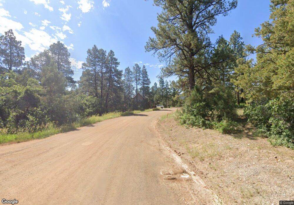
0 Cheyenne Dr Durango, CO 81303
Estimated Value: $322,000 - $327,707
Studio
--
Bath
--
Sq Ft
207,781
Sq Ft Lot
About This Home
This home is located at 0 Cheyenne Dr, Durango, CO 81303 and is currently estimated at $323,902. 0 Cheyenne Dr is a home located in La Plata County with nearby schools including Fort Lewis Mesa Elementary School, Escalante Middle School, and Durango High School.
Ownership History
Date
Name
Owned For
Owner Type
Purchase Details
Closed on
May 21, 2012
Sold by
Smith Ronald W and Bayly Sonja K
Bought by
Smith Ronald W and Bayly Sonja K
Current Estimated Value
Purchase Details
Closed on
May 18, 2006
Sold by
Rabby Tommie Sue
Bought by
Smith Ronald W and Bayly Sonja K
Home Financials for this Owner
Home Financials are based on the most recent Mortgage that was taken out on this home.
Original Mortgage
$139,590
Interest Rate
6.87%
Mortgage Type
Assumption
Purchase Details
Closed on
Dec 27, 1995
Bought by
Smith Ronald W & Bayly Sonja K Trustee
Create a Home Valuation Report for This Property
The Home Valuation Report is an in-depth analysis detailing your home's value as well as a comparison with similar homes in the area
Purchase History
| Date | Buyer | Sale Price | Title Company |
|---|---|---|---|
| Smith Ronald W | -- | None Available | |
| Smith Ronald W | $155,100 | Land Title | |
| Smith Ronald W & Bayly Sonja K Trustee | $64,500 | -- |
Source: Public Records
Mortgage History
| Date | Status | Borrower | Loan Amount |
|---|---|---|---|
| Closed | Smith Ronald W | $139,590 |
Source: Public Records
Tax History
| Year | Tax Paid | Tax Assessment Tax Assessment Total Assessment is a certain percentage of the fair market value that is determined by local assessors to be the total taxable value of land and additions on the property. | Land | Improvement |
|---|---|---|---|---|
| 2025 | $528 | $16,640 | $16,640 | -- |
| 2024 | $452 | $10,760 | $10,760 | -- |
| 2023 | $452 | $13,570 | $13,570 | $0 |
| 2022 | $490 | $14,990 | $14,990 | $0 |
| 2021 | $492 | $11,870 | $11,870 | $0 |
| 2020 | $446 | $11,080 | $11,080 | $0 |
| 2019 | $1,732 | $44,920 | $44,920 | $0 |
| 2018 | $1,731 | $44,920 | $44,920 | $0 |
| 2017 | $1,694 | $44,920 | $44,920 | $0 |
| 2016 | $1,645 | $47,270 | $47,270 | $0 |
| 2015 | $1,548 | $47,270 | $47,270 | $0 |
| 2014 | -- | $47,270 | $47,270 | $0 |
| 2013 | -- | $47,270 | $47,270 | $0 |
Source: Public Records
Map
Nearby Homes
- 285 Logging Trail Rd
- 275 Logging Trail Rd
- 481 Far View Rd
- 1172 Ridge Rd
- 269 North Rd
- 307 Deer Trail Rd
- 1345 Heritage Rd
- 149 Tipple Ave
- 122 Tipple Ave
- 146 Tipple Ave
- 148 Tipple Ave
- 143 Tipple Ave
- 121 Tipple Ave
- 147 Tipple Ave
- TBD Vaquero Way
- 127 Wild Chives Ct
- 23 Hunter Ct
- 49 Hunter Ct
- 64 Wild Chives Court (Lot 104)
- 89 Wild Chives Ct
- 99 Cheyenne Dr
- 100 Cheyenne Dr
- 704 Spring Rd
- 665 Spring Rd
- 616 Spring Rd
- 2433 County Road 141
- 37 Cheyenne Dr
- 0 Tomahawk Trail Unit 668704
- 585 Spring Rd
- 2437 County Road 141
- 792 Spring Rd
- 459 Spring Rd
- 180 Tomahawk Trail
- 689 Spring Rd
- 40 Tomahawk Trail
- 91 Arapahoe Dr
- 37 Arapahoe Dr
- TBD Spring Rd
- 2627 County Road 141
- 440 Spring Rd
Your Personal Tour Guide
Ask me questions while you tour the home.