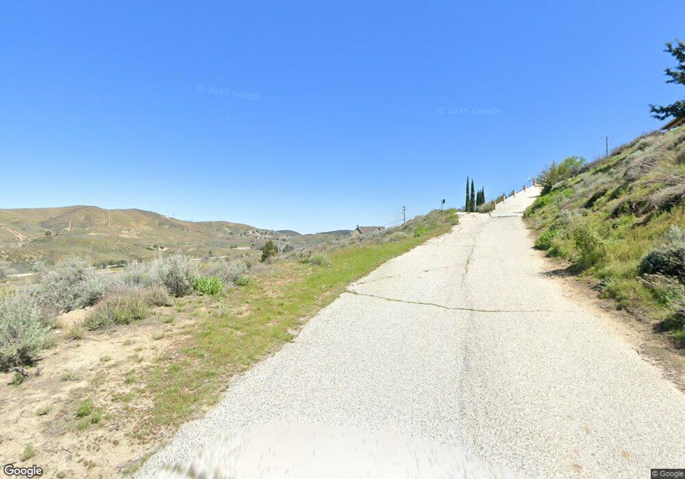
0 Clydesdale Dr Nr Sandrock Unit SR21001494 Lake Elizabeth, CA 93532
Estimated Value: $145,000 - $484,000
--
Bed
--
Bath
--
Sq Ft
7,405
Sq Ft Lot
About This Home
This home is located at 0 Clydesdale Dr Nr Sandrock Unit SR21001494, Lake Elizabeth, CA 93532 and is currently estimated at $307,000. 0 Clydesdale Dr Nr Sandrock Unit SR21001494 is a home located in Los Angeles County with nearby schools including Hughes-Elizabeth Lakes and Quartz Hill High School.
Ownership History
Date
Name
Owned For
Owner Type
Purchase Details
Closed on
Mar 27, 2025
Sold by
Horner Matthew R and Horner Lisa D
Bought by
Matthew And Lisa Horner Family Trust and Horner
Current Estimated Value
Purchase Details
Closed on
Jul 6, 2018
Sold by
Veron Deborah S and Mastin Deborah S
Bought by
Mastin Thomas T
Purchase Details
Closed on
Apr 28, 2004
Sold by
Knight Craig D and Knight Bryan J
Bought by
Mastin Thomas P and Mastin Linda L
Purchase Details
Closed on
Oct 23, 2002
Sold by
Knight Craig D and Knight Revocable 199 William D
Bought by
Knight Craig D and Knight Bryan J
Create a Home Valuation Report for This Property
The Home Valuation Report is an in-depth analysis detailing your home's value as well as a comparison with similar homes in the area
Home Values in the Area
Average Home Value in this Area
Purchase History
| Date | Buyer | Sale Price | Title Company |
|---|---|---|---|
| Matthew And Lisa Horner Family Trust | -- | None Listed On Document | |
| Mastin Thomas T | -- | None Available | |
| Mastin Thomas P | $8,500 | Ctc | |
| Knight Bryan J | -- | Ctc | |
| Knight Craig D | -- | -- |
Source: Public Records
Tax History Compared to Growth
Tax History
| Year | Tax Paid | Tax Assessment Tax Assessment Total Assessment is a certain percentage of the fair market value that is determined by local assessors to be the total taxable value of land and additions on the property. | Land | Improvement |
|---|---|---|---|---|
| 2025 | $298 | $17,340 | $17,340 | -- |
| 2024 | $298 | $17,000 | $17,000 | -- |
| 2023 | $230 | $11,381 | $11,381 | $0 |
| 2022 | $223 | $11,158 | $11,158 | $0 |
| 2021 | $218 | $10,940 | $10,940 | $0 |
| 2020 | $218 | $10,828 | $10,828 | $0 |
| 2019 | $213 | $10,616 | $10,616 | $0 |
| 2018 | $208 | $10,408 | $10,408 | $0 |
| 2017 | $208 | $10,204 | $10,204 | $0 |
| 2016 | $202 | $10,004 | $10,004 | $0 |
| 2015 | $200 | $9,854 | $9,854 | $0 |
| 2014 | $202 | $9,661 | $9,661 | $0 |
Source: Public Records
Map
Nearby Homes
- 0 Sandrock Dr
- 42867 Montello Dr
- 42809 Montello Dr
- 42729 Montello Dr
- 42846 Montello Dr
- 14780 Elizabeth Lake Rd
- 42624 Arrowrock Dr
- 0 Arrowrock Dr Vic Montello Dr Unit 25007986
- 14648 Deer Bank Rd
- 0 Ripton Rd Unit 25003530
- 0 Ripton Rd Unit 25003534
- 0 Ranch Club Rd
- 0 Nearside Dr
- 14811 Elizabeth Lake Rd
- 14849 Ripton Rd
- 14802 Sunnydale Dr
- 0 Denview Dr Unit IV25128803
- 0 Denview Dr Unit 25004445
- 43230 Lookabout Rd
- 42915 Algood St
- 0 Clydesdale Dr Nr Sandrock Unit SR20003419
- 42819 Clydesdale Dr
- 0 Vac Denview Dr Vic Sandrock Dr Unit 19-514310
- 14580 Sandrock Dr
- 42824 Clydesdale Dr
- 42816 Clydesdale Dr
- 42820 Clydesdale Dr
- 42828 Clydesdale Dr
- 14561 Sandrock Dr
- 14549 Sandrock Dr
- 42822 Barnstead Dr
- 14577 Sandrock Dr
- 42806 Clydesdale Dr
- 42802 Clydesdale Dr
- 0 Vac Montello Dr
- 42889 Montello Dr
- 42883 Montello Dr
- 42893 Montello Dr
- 42879 Montello Dr
- 42873 Montello Dr