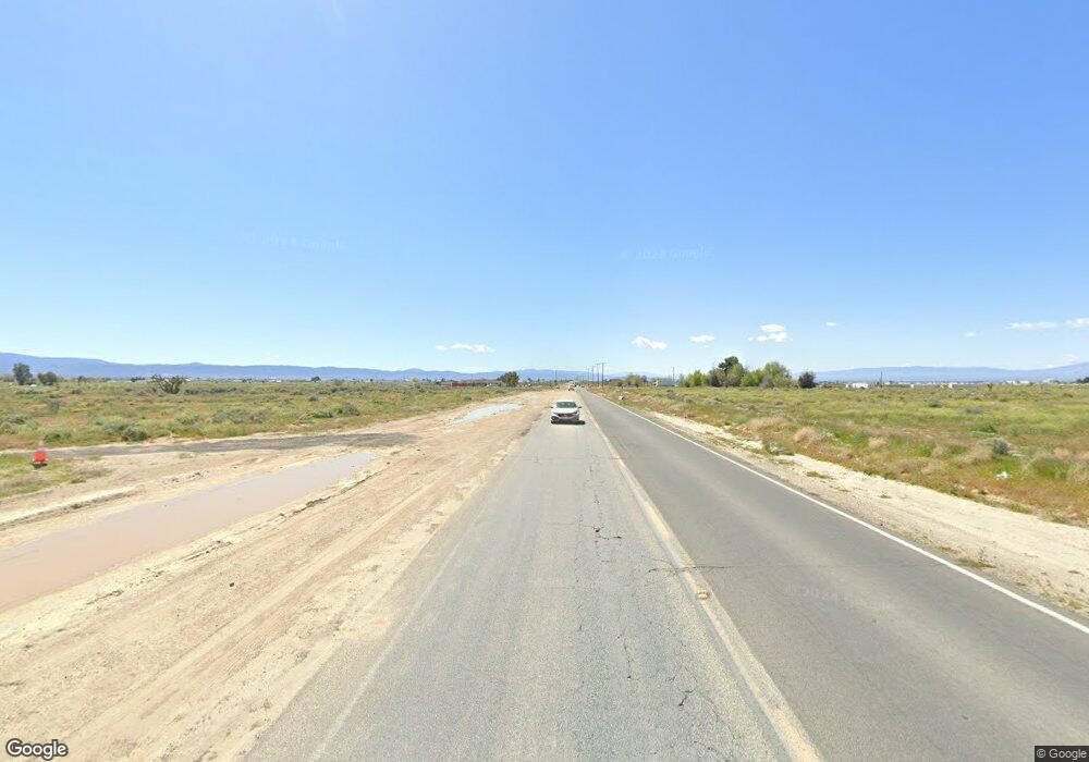
0 E Ave H Unit 218001789 Lancaster, CA 93535
Estimated Value: $550,000
2
Beds
1
Bath
720
Sq Ft
$764/Sq Ft
Est. Value
About This Home
This home is located at 0 E Ave H Unit 218001789, Lancaster, CA 93535 and is currently estimated at $550,000, approximately $763 per square foot. 0 E Ave H Unit 218001789 is a home located in Los Angeles County with nearby schools including Eastside Elementary School, Gifford C. Cole Middle School, and Eastside High School.
Ownership History
Date
Name
Owned For
Owner Type
Purchase Details
Closed on
Feb 21, 2020
Sold by
Av Hemp Farms Llc
Bought by
Av Hemp Co Llc
Current Estimated Value
Purchase Details
Closed on
Sep 24, 2019
Sold by
Kempel Judy Donna and Olin Eugene Derrick
Bought by
Av Hemp Farms Llc
Home Financials for this Owner
Home Financials are based on the most recent Mortgage that was taken out on this home.
Original Mortgage
$600,000
Interest Rate
3.7%
Mortgage Type
Commercial
Purchase Details
Closed on
Oct 24, 2002
Sold by
Derrick Olin E and Derrick Beatrice
Bought by
Derrick Olin Eugene
Create a Home Valuation Report for This Property
The Home Valuation Report is an in-depth analysis detailing your home's value as well as a comparison with similar homes in the area
Home Values in the Area
Average Home Value in this Area
Purchase History
| Date | Buyer | Sale Price | Title Company |
|---|---|---|---|
| Av Hemp Co Llc | -- | None Available | |
| Av Hemp Farms Llc | $1,000,000 | First American Title Company | |
| Derrick Olin Eugene | -- | -- |
Source: Public Records
Mortgage History
| Date | Status | Borrower | Loan Amount |
|---|---|---|---|
| Previous Owner | Av Hemp Farms Llc | $600,000 |
Source: Public Records
Tax History Compared to Growth
Tax History
| Year | Tax Paid | Tax Assessment Tax Assessment Total Assessment is a certain percentage of the fair market value that is determined by local assessors to be the total taxable value of land and additions on the property. | Land | Improvement |
|---|---|---|---|---|
| 2025 | $4,902 | $415,582 | $410,115 | $5,467 |
| 2024 | $4,902 | $407,434 | $402,074 | $5,360 |
| 2023 | $4,717 | $399,446 | $394,191 | $5,255 |
| 2022 | $5,220 | $391,614 | $386,462 | $5,152 |
| 2021 | $4,754 | $383,936 | $378,885 | $5,051 |
| 2020 | $4,678 | $380,000 | $375,000 | $5,000 |
| 2019 | $2,890 | $228,266 | $195,551 | $32,715 |
| 2018 | $2,837 | $223,791 | $191,717 | $32,074 |
| 2016 | $2,705 | $215,103 | $184,273 | $30,830 |
| 2015 | $2,659 | $211,873 | $181,506 | $30,367 |
| 2014 | $2,625 | $207,724 | $177,951 | $29,773 |
Source: Public Records
Map
Nearby Homes
- 45762 90th St E
- 0 E Ave H Unit PTP2505296
- 0 E Ave H Unit 25003853
- 0 95th St East & Ave H-4
- 9200 Ave H8 and 92nd St E
- 8212 E Avenue H
- 0 Vl Apn 3374 022 023 Ave Unit 25001303
- 0 Ave H 8
- 84th St Avenue G - 4
- 9733 E Avenue g10
- 44665 90th St E
- 0 100th St E and Vic Ave H2
- 0 E Avenue H Unit 9992812
- 0 E Avenue H Unit 14766666
- 0 E Avenue H Unit OC24151612
- 0 E Avenue H Unit 21010129
- 0 90th St E Unit 25000759
- 0 100th St E Ave H8
- 0 E Ave G4 Unit 25004075
- 0 90th East Avenue I4 Ste
- 8847 E Avenue H
- 0 90th Street E & E Avenue G12 Unit 23008587
- 8658 E Avenue H
- 0 Vac 30 Ste Vic G8
- 45763 90th St E
- 8847 E Avenue g12
- 0 Lot 5 Avenue G10
- 90th E 90 Ste Vic Ave H6
- 90th E Vic 90th H6 Roosevelt Ave St
- 0 Ave G-8 & 91st St E Unit 21007901
- 9363 E Avenue H
- 0 E Ave H Unit W08031378
- 0 E Ave H Unit A09007121
- 0 E Ave H Unit A10044257
- 0 E Ave H Unit SW15005130
- 0 E Ave H Unit 16005792
- 0 E Ave H Unit 17004068
- 0 E Ave H Unit 19000628
- 0 E Ave H Unit 19001181
- 000 E Avenue H
