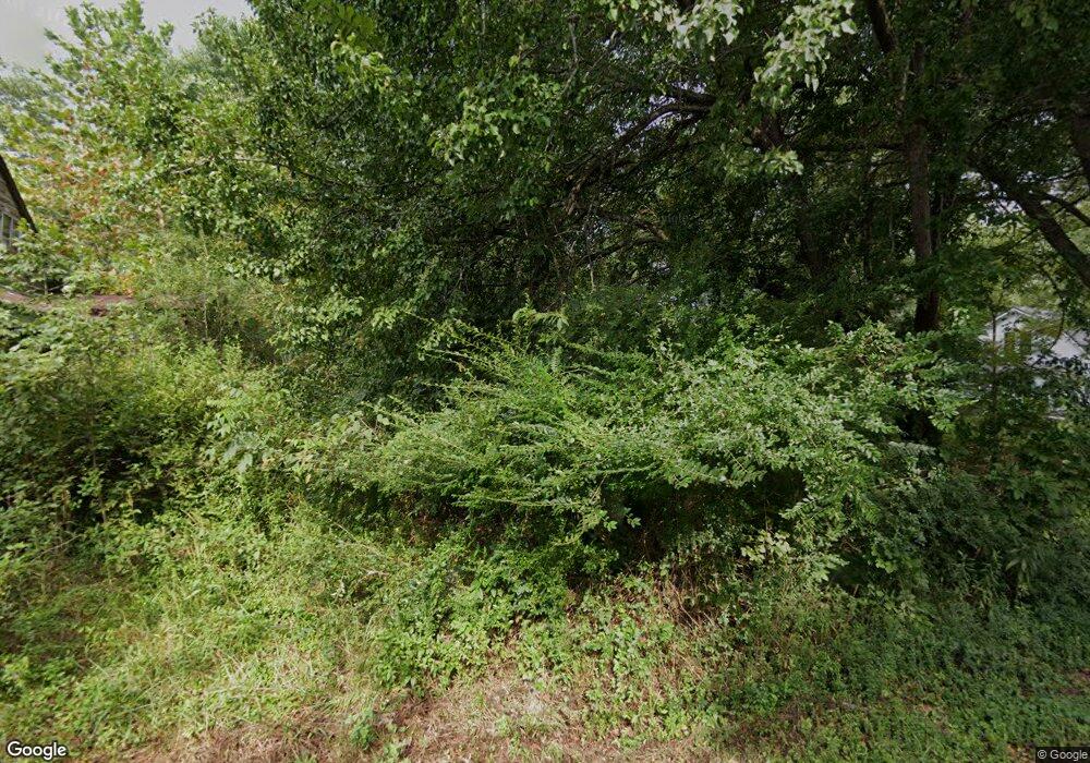
0 E Port Dock Rd Unit RTC2550846 Alpine, TN 38543
Studio
--
Bath
--
Sq Ft
36.86
Acres
About This Home
This home is located at 0 E Port Dock Rd Unit RTC2550846, Alpine, TN 38543. 0 E Port Dock Rd Unit RTC2550846 is a home located in Pickett County with nearby schools including Pickett County Elementary School and Pickett County High School.
Ownership History
Date
Name
Owned For
Owner Type
Purchase Details
Closed on
Dec 3, 2024
Sold by
Devries Group Llc
Bought by
Benco Properties Llc
Purchase Details
Closed on
Aug 16, 2023
Sold by
Boles Curtis M and Boles Terre Marie
Bought by
Devries Group Llc
Purchase Details
Closed on
May 13, 2021
Sold by
Boles Curtis
Bought by
Boles Terre Marie
Purchase Details
Closed on
Apr 27, 1994
Bought by
Boles Curtis M and Boles Roseanne
Create a Home Valuation Report for This Property
The Home Valuation Report is an in-depth analysis detailing your home's value as well as a comparison with similar homes in the area
Purchase History
| Date | Buyer | Sale Price | Title Company |
|---|---|---|---|
| Benco Properties Llc | -- | None Listed On Document | |
| Benco Properties Llc | -- | None Listed On Document | |
| Devries Group Llc | $315,000 | None Listed On Document | |
| Devries Group Llc | $315,000 | None Listed On Document | |
| Boles Terre Marie | -- | None Available | |
| Boles Curtis M | -- | -- |
Source: Public Records
Tax History Compared to Growth
Tax History
| Year | Tax Paid | Tax Assessment Tax Assessment Total Assessment is a certain percentage of the fair market value that is determined by local assessors to be the total taxable value of land and additions on the property. | Land | Improvement |
|---|---|---|---|---|
| 2025 | $848 | $42,050 | $0 | $0 |
| 2024 | $848 | $49,600 | $49,600 | $0 |
| 2023 | $846 | $49,600 | $49,600 | $0 |
| 2022 | $531 | $22,050 | $22,050 | $0 |
| 2021 | $531 | $22,050 | $22,050 | $0 |
| 2020 | $531 | $22,050 | $22,050 | $0 |
| 2019 | $542 | $22,050 | $22,050 | $0 |
| 2018 | $379 | $22,050 | $22,050 | $0 |
| 2017 | $289 | $15,450 | $15,450 | $0 |
| 2016 | $289 | $15,450 | $15,450 | $0 |
| 2015 | $289 | $15,462 | $0 | $0 |
| 2014 | $289 | $15,462 | $0 | $0 |
Source: Public Records
Map
Nearby Homes
- 5735 E East Port Rd
- 400 Sabre Park Rd
- 5615 Eastport Rd
- 5616 E Port Dock Rd
- 5615 Eastport Rd
- 0 Bolestown Loop
- 0 Bolestown Loop
- 0 Milky Way Rd Unit RTC2996177
- 37 Lot 37 Milky Way
- 0 Lot 55 Milky Way
- 2021 Milky Way
- 0 Cliff Edge Rd
- Lot Cliff Edge Rd
- 770 Eastport Dock Rd
- 1255 Winningham Rd
- 43.36 ac Winningham Rd
- Lot 11 Big Hollow Rd
- 4205 Garfield Hinds Rd
- Lot 66 Big Hollow Rd
- 12.55ac Winningham Rd
- 0 E Port Dock Rd Unit RTC2554921
- .61 Ac. Cooper Dr
- 0 61 Ac Cooper Dr Unit 1792675
- 0 62 Ac Cooper Dr Unit 1792792
- 0 83 Ac Cooper Dr Unit 1792652
- 0 84 Ac Cooper Dr Unit 1792639
- .84 Ac. Cooper Dr
- .53 Ac. Cooper Dr
- .81 Ac. Cooper Dr
- .57 Ac. Cooper Dr
- 0 81 Ac Cooper Dr Unit 1792795
- .62 Ac. Cooper Dr
- 0 53 Ac Saber Park Rd Unit 1792857
- 0 53 Ac Saber Park Rd Unit 1792825
- 175 Sabre Park Dr
- Lot 5 E Sabre Park Rd
- 200 Sabre Park
- 200 Sabre Park Dr
- .83 Ac. Cooper Dr
- 0 57 Ac Saber Park Rd Unit 1792853
