

0 F M 2192 Wilson, TX 79364
Estimated payment $3,659/month
Total Views
7,502
160
Acres
$3,500
Price per Acre
6,969,600
Sq Ft Lot
About This Lot
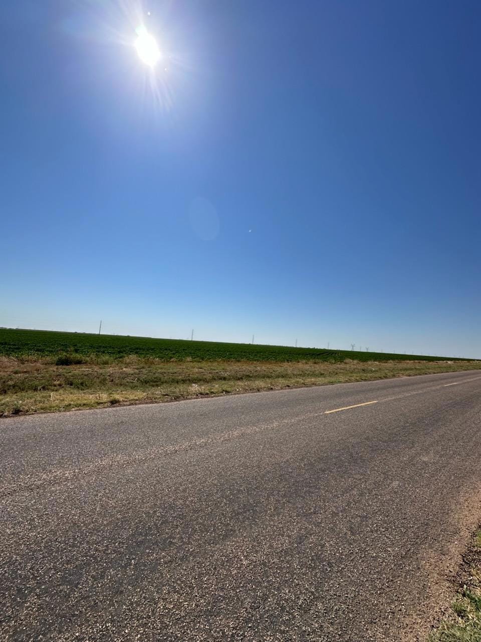
Excellent future development potential! Tract is generally level dry farmland. 160 acres approximately 13 miles south/southeast of Loop 289 in Lubbock. Paved FM 2192 on west side and graded dirt CR 4 on north. Located in Wilson ISD. Priced at appraised value.
Property Details
Property Type
- Land
Lot Details
- 160 Acre Lot
- Dirt Road
Listing and Financial Details
- Assessor Parcel Number TAX ID NOT FOUND
Map
Create a Home Valuation Report for This Property
The Home Valuation Report is an in-depth analysis detailing your home's value as well as a comparison with similar homes in the area
Home Values in the Area
Average Home Value in this Area
Property History
| Date | Event | Price | Change | Sq Ft Price |
|---|---|---|---|---|
| 02/10/2025 02/10/25 | Price Changed | $560,000 | -8.9% | -- |
| 12/05/2024 12/05/24 | For Sale | $615,000 | 0.0% | -- |
| 12/04/2024 12/04/24 | For Sale | $615,000 | -- | -- |
Source: Lubbock Association of REALTORS®
Similar Property in Wilson, TX
Source: Lubbock Association of REALTORS®
MLS Number: 202416562
Disclaimer: Certain information contained herein is derived from information provided by parties other than Homes.com. All information provided is deemed reliable, but is not guaranteed to be accurate and should be independently verified.
![]() IDX information is provided exclusively for personal, non-commercial use, and may not be used for any purpose other than to identify prospective properties consumers may be interested in purchasing.
IDX information is provided exclusively for personal, non-commercial use, and may not be used for any purpose other than to identify prospective properties consumers may be interested in purchasing.
Information is deemed reliable but not guaranteed.
Nearby Homes
- 1 F M 2192
- 1111 Meadows Blvd
- 400 County Road 2
- 2910 E Private Road 7640
- 2192 County Road 4
- 20810 County Road 2340
- 544 Us Highway 87
- 6425 E Woodrow Rd
- 18915 C R 2300
- 18906 C R 2300
- 1009 County Road 7715
- 1005 County Road 7710
- 803 County Road 7715
- 1201 County Road 7715
- 1203 County Road 7715
- 16612 County Road 3100
- 1008 County Road 7710
- 1206 County Road 7710
- 1208 County Road 7710
- 2101 Farm To Market 41
- 915 Woodrow Rd
- 14509 Paris Ave
- 14505 Avenue Q
- 1611 142nd St
- 1628 139th St
- 13806 Avenue Q
- 1610 137th St
- 2328 149th St
- 13603 Sherman Ave
- 650 S 22nd St Unit A
- 501 Plaza Dr
- 1826 137th St
- 13607 Sherman Ave
- 2117 140th St
- 1603 132nd St
- 1633 133rd St
- 2108 139th St
- 14412 Avenue X Unit B
- 14401 Avenue X
- 1638 133rd St Unit B