0 Four Master Rd Unit 50094 Freeport, TX 77541
Estimated Value: $242,401
Studio
--
Bath
6,198
Sq Ft
$39/Sq Ft
Est. Value
About This Home
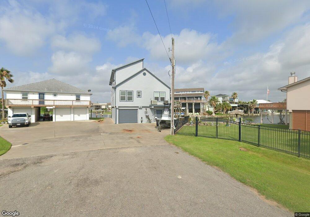
This home is located at 0 Four Master Rd Unit 50094, Freeport, TX 77541 and is currently priced at $242,401, approximately $39 per square foot. 0 Four Master Rd Unit 50094 is a home located in Brazoria County with nearby schools including Velasco Elementary School, O'Hara Lanier Middle School, and Freeport Intermediate School.
Ownership History
Date
Name
Owned For
Owner Type
Purchase Details
Closed on
Nov 25, 2020
Sold by
Don Simpson Properties Llc
Bought by
Strother Robert D and Strother Dawn M
Current Estimated Value
Home Financials for this Owner
Home Financials are based on the most recent Mortgage that was taken out on this home.
Original Mortgage
$335,000
Outstanding Balance
$298,782
Interest Rate
2.8%
Mortgage Type
New Conventional
Purchase Details
Closed on
Mar 30, 2012
Sold by
Hart Ross M
Bought by
Lowery Gary and Mccumber Kathleen
Create a Home Valuation Report for This Property
The Home Valuation Report is an in-depth analysis detailing your home's value as well as a comparison with similar homes in the area
Purchase History
| Date | Buyer | Sale Price | Title Company |
|---|---|---|---|
| Strother Robert D | -- | Alamo Title Company | |
| Lowery Gary | -- | Great American Title Co |
Source: Public Records
Mortgage History
| Date | Status | Borrower | Loan Amount |
|---|---|---|---|
| Open | Strother Robert D | $335,000 |
Source: Public Records
Tax History
| Year | Tax Paid | Tax Assessment Tax Assessment Total Assessment is a certain percentage of the fair market value that is determined by local assessors to be the total taxable value of land and additions on the property. | Land | Improvement |
|---|---|---|---|---|
| 2025 | $1,483 | $84,430 | $79,030 | $5,400 |
| 2023 | $1,483 | $85,280 | $79,030 | $6,250 |
| 2022 | $1,720 | $84,940 | $79,030 | $5,910 |
| 2021 | $1,237 | $56,440 | $52,380 | $4,060 |
| 2020 | $1,161 | $52,100 | $48,421 | $3,679 |
| 2019 | $1,116 | $48,240 | $44,320 | $3,920 |
| 2018 | $938 | $40,290 | $40,290 | $0 |
| 2017 | $941 | $40,290 | $40,290 | $0 |
| 2016 | $941 | $40,290 | $40,290 | $0 |
| 2015 | $811 | $40,290 | $40,290 | $0 |
| 2014 | $811 | $30,990 | $30,990 | $0 |
Source: Public Records
Map
Nearby Homes
- 114 Four Master Rd
- 122 Four Master Rd
- 123 Four Master Rd
- 122 Driftwood Rd
- 119 Crows Nest Rd
- 1571 Blue Water Dr
- 110 Mariner Rd
- 106 Jolly Boat Ln
- 1503 Blue Water Dr
- 107 Admiral Ln
- 108 Treasure Ln
- 154 Poop Deck Ln
- 1682 Blue Water Dr
- 0 Cr 690a
- 518 Marine Way
- 411 Galley Way
- TBD Marine Way
- 310 Marine Way
- 235 Leeward Way
- 1738 Duncan Dr
- 0 Four Master Rd Unit 28406
- 0 Four Master Rd Unit 47425
- 0 Four Master Rd Unit 51181
- 0 Four Master Rd Unit 64740
- 0 Four Master Rd Unit 42264484
- 111 Four Master Rd
- 00 Anchor Rd
- 107 Four Master Rd
- 103 Four Master Rd
- 118 Four Master Rd
- 107 Driftwood Rd
- 115 Four Master Rd
- 111 Driftwood Rd
- 115 Driftwood Rd
- 119 Four Master Rd
- 119 Driftwood Rd
- 126 Four Master Rd
- 126 Four Master Rd Unit RRD
- L44 Driftwood Rd
- 127 Four Master Rd
Your Personal Tour Guide
Ask me questions while you tour the home.