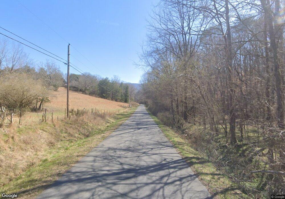
0 Fredrick's Ridge Rd Dunlap, TN 37327
Estimated Value: $613,000 - $826,000
--
Bed
--
Bath
420
Sq Ft
$1,719/Sq Ft
Est. Value
About This Home
This home is located at 0 Fredrick's Ridge Rd, Dunlap, TN 37327 and is currently estimated at $722,000, approximately $1,719 per square foot. 0 Fredrick's Ridge Rd is a home located in Sequatchie County with nearby schools including Griffith Elementary School, Sequatchie County Middle School, and Sequatchie County High School.
Ownership History
Date
Name
Owned For
Owner Type
Purchase Details
Closed on
Feb 20, 2023
Sold by
Holder Carl Austin
Bought by
Tuw Frances H Bowman Residuary Trust
Current Estimated Value
Purchase Details
Closed on
May 27, 2022
Sold by
Austin Holder Carl
Bought by
Tuw Frances H Bowman Residuary Trust
Purchase Details
Closed on
Nov 23, 2015
Sold by
Bowman Coke Estate
Bought by
Bowman Coke Estate
Purchase Details
Closed on
Oct 13, 2015
Sold by
Bowman William L Estate
Bought by
Bowman Carol T
Purchase Details
Closed on
Jul 18, 2014
Sold by
Bowman Coke Estate
Bought by
Bowman Coke Estate
Create a Home Valuation Report for This Property
The Home Valuation Report is an in-depth analysis detailing your home's value as well as a comparison with similar homes in the area
Home Values in the Area
Average Home Value in this Area
Purchase History
| Date | Buyer | Sale Price | Title Company |
|---|---|---|---|
| Tuw Frances H Bowman Residuary Trust | -- | -- | |
| Tuw Frances H Bowman Residuary Trust | -- | None Listed On Document | |
| Bowman Coke Estate | -- | -- | |
| First Tennessee Bank National Associatio | -- | -- | |
| Bowman Carol T | -- | -- | |
| Bowman Coke Estate | -- | -- | |
| Palmer Elizabeth N | -- | -- | |
| Bowman Frances H Estate | -- | -- | |
| Bowman William L | -- | -- |
Source: Public Records
Tax History Compared to Growth
Tax History
| Year | Tax Paid | Tax Assessment Tax Assessment Total Assessment is a certain percentage of the fair market value that is determined by local assessors to be the total taxable value of land and additions on the property. | Land | Improvement |
|---|---|---|---|---|
| 2024 | $2,730 | $148,625 | $146,100 | $2,525 |
| 2023 | $2,730 | $148,625 | $146,100 | $2,525 |
| 2022 | $3,627 | $148,500 | $147,275 | $1,225 |
| 2021 | $3,627 | $148,500 | $147,275 | $1,225 |
| 2020 | $3,627 | $148,500 | $147,275 | $1,225 |
| 2019 | $3,627 | $148,500 | $147,275 | $1,225 |
| 2018 | $3,627 | $148,500 | $147,275 | $1,225 |
| 2017 | $3,627 | $148,500 | $147,275 | $1,225 |
| 2016 | $2,737 | $106,575 | $105,800 | $775 |
| 2015 | $2,737 | $106,575 | $105,800 | $775 |
| 2014 | $2,737 | $106,575 | $105,800 | $775 |
Source: Public Records
Map
Nearby Homes
- 3598 Clear Brooks Dr
- 118 Beaten Path Rd
- 4 Henson Gap Rd
- 3362 Clear Brooks Dr
- 112 Henson Gap Rd
- 100 Henson Gap Rd
- 50 Horseshoe Bend Rd E
- 406 Green Brier Ln
- 81 Horseshoe Bend Rd
- 3086 Poe Rd
- 2996 Mowbray Pike
- 3087 Poe Rd
- 8957 Big Bend Rd
- 8945 Big Bend Rd
- 3069 Poe Rd
- 3057 Poe Rd
- 2593 Boston Branch Cir
- 2385 Clear Brooks Dr
- 2362 Little Bend Rd
- 2907 Mowbray Pike
