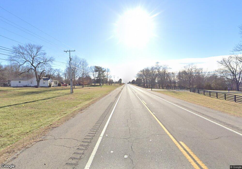
0 Highway 31w Unit RTC2462808 Portland, TN 37148
Estimated Value: $396,938
--
Bed
--
Bath
--
Sq Ft
2.51
Acres
About This Home
This home is located at 0 Highway 31w Unit RTC2462808, Portland, TN 37148 and is currently estimated at $396,938. 0 Highway 31w Unit RTC2462808 is a home located in Robertson County with nearby schools including East Robertson Elementary School, East Robertson High School, and Portland Montessori Academy.
Ownership History
Date
Name
Owned For
Owner Type
Purchase Details
Closed on
Apr 12, 2024
Sold by
Coats Daniel and Mcdonald Minor Ann
Bought by
Potter Sandra Vargas
Current Estimated Value
Home Financials for this Owner
Home Financials are based on the most recent Mortgage that was taken out on this home.
Original Mortgage
$315,957
Outstanding Balance
$311,109
Interest Rate
6.74%
Mortgage Type
New Conventional
Estimated Equity
$85,829
Purchase Details
Closed on
Jun 15, 2011
Bought by
Coates Daniel W & Mcdonald Mitchell S Tr
Purchase Details
Closed on
Dec 12, 2007
Sold by
Patricia Coates
Bought by
Daniel Coates
Purchase Details
Closed on
Jan 26, 2005
Sold by
Diss Nikki J
Bought by
Vaughn Family Lp
Create a Home Valuation Report for This Property
The Home Valuation Report is an in-depth analysis detailing your home's value as well as a comparison with similar homes in the area
Home Values in the Area
Average Home Value in this Area
Purchase History
| Date | Buyer | Sale Price | Title Company |
|---|---|---|---|
| Potter Sandra Vargas | $390,000 | Foreman Watson Land Title | |
| Coates Daniel W & Mcdonald Mitchell S Tr | -- | -- | |
| Mcdonald Mitchell S | -- | -- | |
| Daniel Coates | -- | -- | |
| Vaughn Family Lp | $2,876 | -- |
Source: Public Records
Mortgage History
| Date | Status | Borrower | Loan Amount |
|---|---|---|---|
| Open | Potter Sandra Vargas | $315,957 |
Source: Public Records
Tax History Compared to Growth
Tax History
| Year | Tax Paid | Tax Assessment Tax Assessment Total Assessment is a certain percentage of the fair market value that is determined by local assessors to be the total taxable value of land and additions on the property. | Land | Improvement |
|---|---|---|---|---|
| 2024 | -- | $40,000 | $40,000 | $0 |
| 2023 | $1,044 | $40,000 | $40,000 | $0 |
| 2022 | $3,743 | $102,960 | $102,960 | $0 |
| 2021 | $3,743 | $102,960 | $102,960 | $0 |
| 2020 | $2,652 | $102,960 | $102,960 | $0 |
| 2019 | $3,743 | $102,960 | $102,960 | $0 |
| 2018 | $3,795 | $102,960 | $102,960 | $0 |
| 2017 | $4,211 | $98,040 | $98,040 | $0 |
| 2016 | $4,211 | $98,040 | $98,040 | $0 |
| 2015 | $4,088 | $98,040 | $98,040 | $0 |
| 2014 | $4,088 | $98,040 | $98,040 | $0 |
Source: Public Records
Map
Nearby Homes
- 146 Groves Ln
- 5988 Highway 31 W
- 00 Highway 259 Unit Hwy. 259
- 117 Bloomsbury Dr
- 5655 Nashville Rd
- 128 Bloomsbury Dr
- 7197 Highland Rd
- 5881 Highway 31 W
- 331 Woods Rd
- 124 Vanatta Rd
- 1200 N Church St
- 119 Kenwood Dr
- 113 Sharon Dr
- 118 Sharon Dr
- 4785 Nashville Rd
- 9416 Shady Park Rd
- 648 Scattersville Rd
- 1194 Swamp Rd
- 1473 Steele Rd
- 0 Shaub Rd
- 0 Highway 31w Unit 1709716
- 0 Highway 31w Unit 1810176
- 0 Highway 31w Unit 1812450
- 0 Highway 31w Unit 1812449
- 0 Highway 31w Unit RTC2374523
- 0 Highway 31w Unit 2226033
- 0 Highway 31w Unit 2226029
- 0 Highway 31w Unit 2226024
- 0 Highway 31w Unit 2082146
- 0 Highway 31w Unit 2082143
- 0 Hwy 31w Unit 1944160
- 0 Hwy 31w Unit 1595931
- 0 Highway 31w Rogers Rd Unit 1898796
- 0 Highway 31w Rogers Rd Unit 1898790
- 4004 Rogers Rd-Hwy 31w
- 4004 Rogers Rd
- 4004 Rogers Rd
- 103 Highway 259
- 6403 Nashville Rd
- 1076 N Broadway Unit HIGHWAY 109