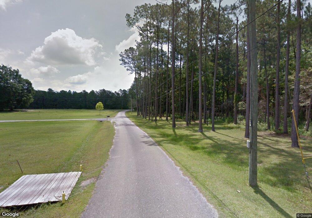
0 Hollis Ln Vancleave, MS 39565
Estimated Value: $240,000 - $374,000
--
Bed
--
Bath
1,464
Sq Ft
$197/Sq Ft
Est. Value
About This Home
This home is located at 0 Hollis Ln, Vancleave, MS 39565 and is currently estimated at $288,988, approximately $197 per square foot. 0 Hollis Ln is a home located in Jackson County with nearby schools including Vancleave Lower Elementary School, Vancleave Upper Elementary School, and Vancleave Middle School.
Ownership History
Date
Name
Owned For
Owner Type
Purchase Details
Closed on
Jul 21, 2016
Sold by
Bct Homes Llc
Bought by
Morrison Rebecca A and Amonett Robert W
Current Estimated Value
Home Financials for this Owner
Home Financials are based on the most recent Mortgage that was taken out on this home.
Original Mortgage
$186,558
Outstanding Balance
$147,913
Interest Rate
3.37%
Mortgage Type
FHA
Estimated Equity
$141,075
Purchase Details
Closed on
Nov 25, 2014
Sold by
Walter N Walter N
Bought by
Bct Homes Llc
Create a Home Valuation Report for This Property
The Home Valuation Report is an in-depth analysis detailing your home's value as well as a comparison with similar homes in the area
Home Values in the Area
Average Home Value in this Area
Purchase History
| Date | Buyer | Sale Price | Title Company |
|---|---|---|---|
| Morrison Rebecca A | -- | Pilger Title | |
| Bct Homes Llc | -- | Pilger Title Co |
Source: Public Records
Mortgage History
| Date | Status | Borrower | Loan Amount |
|---|---|---|---|
| Open | Morrison Rebecca A | $186,558 |
Source: Public Records
Tax History Compared to Growth
Tax History
| Year | Tax Paid | Tax Assessment Tax Assessment Total Assessment is a certain percentage of the fair market value that is determined by local assessors to be the total taxable value of land and additions on the property. | Land | Improvement |
|---|---|---|---|---|
| 2024 | $1,323 | $13,518 | $1,301 | $12,217 |
| 2023 | $1,323 | $13,518 | $1,301 | $12,217 |
| 2022 | $1,277 | $13,518 | $1,301 | $12,217 |
| 2021 | $1,286 | $13,606 | $1,301 | $12,305 |
| 2020 | $1,223 | $12,604 | $1,023 | $11,581 |
| 2019 | $1,206 | $12,604 | $1,023 | $11,581 |
| 2018 | $1,235 | $12,604 | $1,023 | $11,581 |
| 2017 | $1,261 | $12,604 | $1,023 | $11,581 |
| 2016 | $2,249 | $18,907 | $1,535 | $17,372 |
| 2015 | $175 | $9,750 | $9,750 | $0 |
| 2014 | -- | $1,463 | $1,463 | $0 |
| 2013 | $166 | $1,463 | $1,463 | $0 |
Source: Public Records
Map
Nearby Homes
- 8317 Highway 57
- 0 N Hwy 57 Unit 4042677
- 8301 N Hwy 57
- 0 I-10 & Ms-57 Unit 4112789
- 10000 Cherokee Rose Rd
- 9158 Box Rd
- 9108 Box Rd
- 6101 Allen Rd
- 0 Box Rd
- 0 Allen Rd Unit 4114394
- 7729 Trout St
- 0 Bond Rd
- 7780 Utopia Dr
- 0 Ms-57
- 0 Candlewood Ln
- 0 Old Fort Bayou Rd Unit 4101335
- 0 C Byrd Rd Unit 4107644
- 00 Humphrey Rd
- The Kai Plan at Berwick Court - The Cottages
- 5900 Southwark Dr
- 6706 Hollis Ln
- 6710 Hollis Ln
- 6700 Hollis Ln
- 6708 Hollis Ln
- 8505 Highway 57
- 8513 Highway 57
- 6712 Hollis Ln
- 8509 Highway 57
- 8309 Highway 57
- 8116 Highway 57 Unit DRO
- 8112 Highway 57 Unit DRO
- 8112 Highway 57
- 8104 Highway 57 Unit DRO
- 8100 Highway 57
- 0 N Hwy 57 Unit 4067435
- 0 N Hwy 57 Unit 4063898
- 0 N Hwy 57 Unit 4042674
- 0 N Hwy 57 Unit 4042672
- 0 N Hwy 57 Unit 4042675
- 0 N Hwy 57 Unit 4042670