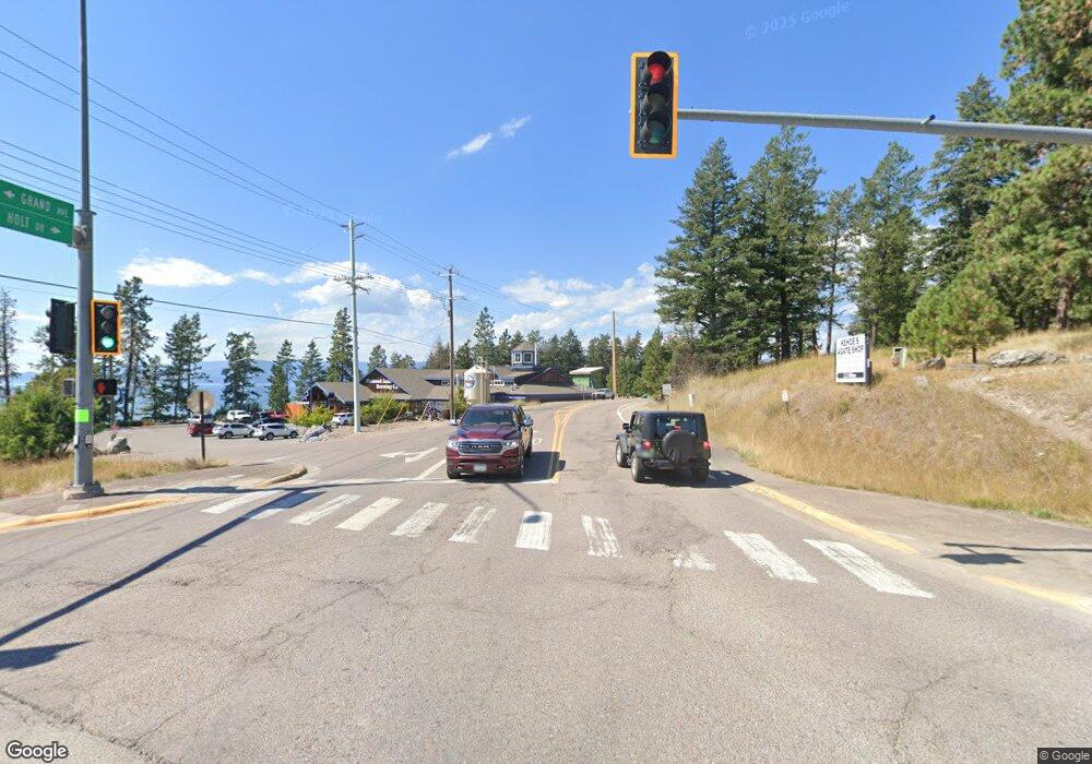
0 Holt Dr Unit 21604678 Bigfork, MT 59911
Estimated Value: $322,000 - $518,000
--
Bed
--
Bath
--
Sq Ft
17.67
Acres
About This Home
This home is located at 0 Holt Dr Unit 21604678, Bigfork, MT 59911 and is currently estimated at $402,555. 0 Holt Dr Unit 21604678 is a home located in Flathead County with nearby schools including Bigfork Elementary School, Bigfork Middle School, and Bigfork High School.
Ownership History
Date
Name
Owned For
Owner Type
Purchase Details
Closed on
Apr 21, 2010
Sold by
Freedom Bank
Bought by
Brooks Michael D
Current Estimated Value
Home Financials for this Owner
Home Financials are based on the most recent Mortgage that was taken out on this home.
Original Mortgage
$133,000
Outstanding Balance
$88,231
Interest Rate
4.92%
Mortgage Type
Purchase Money Mortgage
Estimated Equity
$314,324
Purchase Details
Closed on
Jun 19, 2009
Sold by
H & H Development Llc
Bought by
Freedom Bank
Create a Home Valuation Report for This Property
The Home Valuation Report is an in-depth analysis detailing your home's value as well as a comparison with similar homes in the area
Home Values in the Area
Average Home Value in this Area
Purchase History
| Date | Buyer | Sale Price | Title Company |
|---|---|---|---|
| Brooks Michael D | -- | First American Title Company | |
| Freedom Bank | -- | None Available |
Source: Public Records
Mortgage History
| Date | Status | Borrower | Loan Amount |
|---|---|---|---|
| Open | Brooks Michael D | $133,000 |
Source: Public Records
Tax History Compared to Growth
Tax History
| Year | Tax Paid | Tax Assessment Tax Assessment Total Assessment is a certain percentage of the fair market value that is determined by local assessors to be the total taxable value of land and additions on the property. | Land | Improvement |
|---|---|---|---|---|
| 2025 | $942 | $300,137 | $0 | $0 |
| 2024 | $1,022 | $183,072 | $0 | $0 |
| 2023 | $1,000 | $183,072 | $0 | $0 |
| 2022 | $907 | $118,616 | $0 | $0 |
| 2021 | $873 | $118,616 | $0 | $0 |
| 2020 | $908 | $115,211 | $0 | $0 |
| 2019 | $875 | $115,211 | $0 | $0 |
| 2018 | $879 | $110,262 | $0 | $0 |
| 2017 | $860 | $110,262 | $0 | $0 |
| 2016 | $444 | $115,167 | $0 | $0 |
| 2015 | $417 | $153,167 | $0 | $0 |
| 2014 | $1,869 | $155,417 | $0 | $0 |
Source: Public Records
Map
Nearby Homes
- 181 Fox Run Ct
- 161 Fox Run Ct
- 145 Fox Run Ct
- 153 Fox Run Ct
- 106 Golden Bear Dr
- 112 Golden Bear Dr
- 116 Golden Bear Dr
- 201 Bridger Dr
- 196 Pine Needle Ln
- 266 Eagle Bend Dr
- 260 Eagle Bend Dr
- 213 Harbor Dr
- 175 Aerie Place
- 151 Bjork Dr
- 147 Bjork Dr
- 109 Levi Ct
- 1193 Whispering Rock Rd
- NHN Eagle Bend Dr
- 20 Marina Way
- 1358 Ponderosa Ridge Dr
- 0 Holt Dr Unit At Eagle Rock 330051
- 0 Holt Dr Unit 253552
- 0 Holt Dr Unit 253512
- 0 Holt Dr Unit 253550
- 0 Holt Dr Unit 253515
- 0 Holt Dr Unit 253514
- 0 Holt Dr Unit 253511
- 0 Holt Dr Unit 253517
- 0 Holt Dr Unit 253505
- 0 Holt Dr Unit 203991
- 0 Holt Dr Unit 291542
- 0 Holt Dr Unit 300024
- 0 Holt Dr Unit 291527
- 0 Holt Dr Unit 286596
- 0 Holt Dr Unit 300022
- 11 Eagle Rock Dr
- 7 Eagle Rock Dr
- 5 Eagle Rock Dr
- 3 Eagle Rock Dr
- 1 Eagle Rock Dr
