0 Jenni Rd Lewistown, MT 59457
Estimated Value: $344,448 - $473,000
2
Beds
1
Bath
690
Sq Ft
$592/Sq Ft
Est. Value
About This Home
This home is located at 0 Jenni Rd, Lewistown, MT 59457 and is currently estimated at $408,724, approximately $592 per square foot. 0 Jenni Rd is a home located in Fergus County with nearby schools including Fergus High School.
Ownership History
Date
Name
Owned For
Owner Type
Purchase Details
Closed on
Sep 14, 2021
Sold by
Clark Johnathon
Bought by
Clark Johnathon
Current Estimated Value
Home Financials for this Owner
Home Financials are based on the most recent Mortgage that was taken out on this home.
Original Mortgage
$200,000
Outstanding Balance
$181,985
Interest Rate
2.8%
Mortgage Type
New Conventional
Estimated Equity
$226,739
Purchase Details
Closed on
Dec 15, 2020
Sold by
Bertino Phil F
Bought by
Clark Johnathon
Home Financials for this Owner
Home Financials are based on the most recent Mortgage that was taken out on this home.
Original Mortgage
$79,000
Interest Rate
2.7%
Mortgage Type
Construction
Purchase Details
Closed on
Aug 9, 2009
Sold by
Rice Kenneth C and Rice Elaine M
Bought by
Bertino Phil F
Create a Home Valuation Report for This Property
The Home Valuation Report is an in-depth analysis detailing your home's value as well as a comparison with similar homes in the area
Home Values in the Area
Average Home Value in this Area
Purchase History
| Date | Buyer | Sale Price | Title Company |
|---|---|---|---|
| Clark Johnathon | $200,000 | -- | |
| Clark Johnathon | $98,750 | First American Title | |
| Bertino Phil F | -- | First American Title |
Source: Public Records
Mortgage History
| Date | Status | Borrower | Loan Amount |
|---|---|---|---|
| Open | Clark Johnathon | $200,000 | |
| Previous Owner | Clark Johnathon | $79,000 |
Source: Public Records
Tax History Compared to Growth
Tax History
| Year | Tax Paid | Tax Assessment Tax Assessment Total Assessment is a certain percentage of the fair market value that is determined by local assessors to be the total taxable value of land and additions on the property. | Land | Improvement |
|---|---|---|---|---|
| 2025 | $1,070 | $263,415 | $0 | $0 |
| 2024 | $1,454 | $223,207 | $0 | $0 |
| 2023 | $1,311 | $223,207 | $0 | $0 |
| 2022 | $1,087 | $153,162 | $0 | $0 |
| 2021 | $81 | $1,108 | $0 | $0 |
| 2020 | $76 | $1,031 | $0 | $0 |
| 2019 | $76 | $1,031 | $0 | $0 |
| 2018 | $73 | $963 | $0 | $0 |
| 2017 | $68 | $963 | $0 | $0 |
| 2016 | $64 | $891 | $0 | $0 |
| 2015 | $64 | $891 | $0 | $0 |
| 2014 | $91 | $1,156 | $0 | $0 |
Source: Public Records
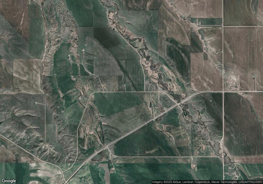
Map
Nearby Homes
- 107 Sky Brook Ln N
- 1518 Scott Crossing
- Nhn Hwy 191
- 0 Tbd Unit 20682760
- 0 Tbd Unit 11290776
- 706 Vrooman St
- 501 Wright St
- NHN A St
- 414 Warr St
- 6058 Cottonwood Creek Rd
- NHN Truck Bypass
- 105 Hillcrest Dr
- TBD Truck Bypass
- 35 acres Truck Bypass
- 113 15th Ave S
- 1220 W Main St
- 1011 W Broadway St
- TBD Lot 2 Casino Creek Dr
- TBD Lot 1 Casino Creek Dr
- 412 W Huron St