0 Kay Dr Unit 7552069 Toccoa, GA 30577
Estimated Value: $290,294 - $439,000
1
Bed
1
Bath
775
Sq Ft
$493/Sq Ft
Est. Value
About This Home
This home is located at 0 Kay Dr Unit 7552069, Toccoa, GA 30577 and is currently estimated at $382,098, approximately $493 per square foot. 0 Kay Dr Unit 7552069 is a home located in Stephens County with nearby schools including Stephens County High School.
Ownership History
Date
Name
Owned For
Owner Type
Purchase Details
Closed on
Apr 29, 2019
Sold by
Troup Betty
Bought by
Holbrooks Amanda C and Holbrooks Andrew B
Current Estimated Value
Home Financials for this Owner
Home Financials are based on the most recent Mortgage that was taken out on this home.
Original Mortgage
$30,600
Interest Rate
4%
Mortgage Type
New Conventional
Purchase Details
Closed on
Oct 27, 2015
Sold by
Loden Jerry D
Bought by
Troup Betty
Purchase Details
Closed on
Dec 26, 2014
Sold by
Loden Jerry Dennis
Bought by
Loden Jerry Dennis Estate
Purchase Details
Closed on
Apr 6, 2010
Sold by
Loden Jerry Dennis
Bought by
Loden Jerry Dennis
Purchase Details
Closed on
Oct 1, 2007
Sold by
Not Provided
Bought by
Loden Jerry Dennis
Create a Home Valuation Report for This Property
The Home Valuation Report is an in-depth analysis detailing your home's value as well as a comparison with similar homes in the area
Home Values in the Area
Average Home Value in this Area
Purchase History
| Date | Buyer | Sale Price | Title Company |
|---|---|---|---|
| Holbrooks Amanda C | $34,000 | -- | |
| Troup Betty | -- | -- | |
| Loden Jerry Dennis Estate | -- | -- | |
| Loden Jerry Dennis | -- | -- | |
| Loden Jerry Dennis | -- | -- | |
| Loden Jerry Dennis | -- | -- | |
| Edwards Linda Kay | -- | -- |
Source: Public Records
Mortgage History
| Date | Status | Borrower | Loan Amount |
|---|---|---|---|
| Closed | Holbrooks Amanda C | $30,600 |
Source: Public Records
Tax History Compared to Growth
Tax History
| Year | Tax Paid | Tax Assessment Tax Assessment Total Assessment is a certain percentage of the fair market value that is determined by local assessors to be the total taxable value of land and additions on the property. | Land | Improvement |
|---|---|---|---|---|
| 2024 | $2,138 | $69,928 | $17,525 | $52,403 |
| 2023 | $2,022 | $67,660 | $17,525 | $50,135 |
| 2022 | $1,915 | $64,312 | $15,932 | $48,380 |
| 2021 | $498 | $15,932 | $15,932 | $0 |
| 2020 | $499 | $15,814 | $15,814 | $0 |
| 2019 | $478 | $15,060 | $15,060 | $0 |
| 2018 | $478 | $15,060 | $15,060 | $0 |
| 2017 | $485 | $15,060 | $15,060 | $0 |
| 2016 | $478 | $15,060 | $15,060 | $0 |
| 2015 | $500 | $15,060 | $15,060 | $0 |
| 2014 | $508 | $15,060 | $15,060 | $0 |
| 2013 | -- | $16,924 | $16,924 | $0 |
Source: Public Records
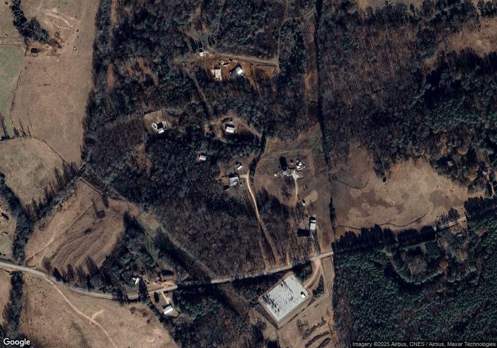
Map
Nearby Homes
- 836 Swilling Rd
- 000, LOT 30C Swilling Rd
- 0, LOT 30A Swilling Rd
- 00, LOT 30B Swilling Rd
- 0 Eastanollee Rd Unit 10440265
- 1120 Combs Ave
- 740 Chapel Rd
- 653 Dortch Rd
- 683 Dortch Rd
- 729 Dortch Rd
- 771 Dortch Rd
- 825 Dortch Rd
- 883 Dortch Rd
- 556 Oil Mill Rd Unit 7
- 0 Herron Rd Unit 14382283
- 2657 Wolfpit Rd
- 219 Eastanollee Rd
- 121 Wilmer Shirley Dr
- 538 Oil Mill Rd Unit 8
- 0 Georgia 17
- 0 Kay Dr Unit 8427433
- 116 Kay Dr
- 2063 Avalon Rd
- 252 Kay Dr
- 2049 Avalon Rd
- 2217 Avalon Rd
- 2230 Avalon Rd
- 228 Kay Dr
- 1860 Avalon Rd
- 0 Kay Dr Unit 8480021
- 0 Kay Dr Unit 8203153
- 0 Kay Dr Unit 7145971
- 0 Kay Dr Unit 8182658
- 0 Kay Dr Unit 8427524
- 0 Kay Dr Unit 8494338
- TRACK 2 Avalon Rd
- 1801 Avalon Rd
- 1579 Avalon Rd
- 297 Pine Oak Dr
- 299 Pine Oak Dr