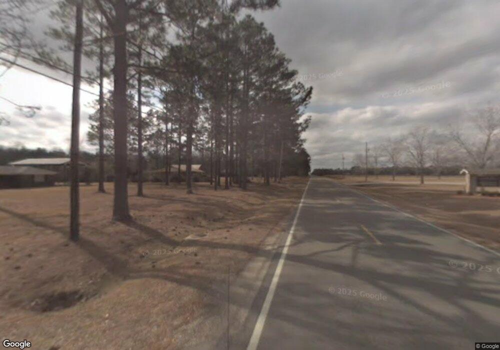
0 MacIe and King St Unit 3259236 Lucedale, MS 39452
Estimated Value: $154,000 - $177,000
--
Bed
--
Bath
1,074
Sq Ft
$152/Sq Ft
Est. Value
About This Home
This home is located at 0 MacIe and King St Unit 3259236, Lucedale, MS 39452 and is currently estimated at $163,000, approximately $151 per square foot. 0 MacIe and King St Unit 3259236 is a home located in George County with nearby schools including George County High School.
Ownership History
Date
Name
Owned For
Owner Type
Purchase Details
Closed on
Jun 8, 2014
Bought by
Deville Linda L
Current Estimated Value
Home Financials for this Owner
Home Financials are based on the most recent Mortgage that was taken out on this home.
Original Mortgage
$6,600
Outstanding Balance
$5,046
Interest Rate
4.26%
Mortgage Type
Land Contract Argmt. Of Sale
Estimated Equity
$157,954
Purchase Details
Closed on
Dec 10, 2013
Bought by
George County Habitat For Humanity Inc
Purchase Details
Closed on
Dec 30, 2010
Sold by
B & T Developers Llc
Bought by
Mll Properties Inc
Create a Home Valuation Report for This Property
The Home Valuation Report is an in-depth analysis detailing your home's value as well as a comparison with similar homes in the area
Home Values in the Area
Average Home Value in this Area
Purchase History
| Date | Buyer | Sale Price | Title Company |
|---|---|---|---|
| Deville Linda L | -- | -- | |
| George County Habitat For Humanity Inc | -- | -- | |
| Mll Properties Inc | -- | -- |
Source: Public Records
Mortgage History
| Date | Status | Borrower | Loan Amount |
|---|---|---|---|
| Open | Deville Linda L | $6,600 | |
| Open | Deville Linda L | $49,720 |
Source: Public Records
Tax History Compared to Growth
Tax History
| Year | Tax Paid | Tax Assessment Tax Assessment Total Assessment is a certain percentage of the fair market value that is determined by local assessors to be the total taxable value of land and additions on the property. | Land | Improvement |
|---|---|---|---|---|
| 2024 | -- | $6,352 | $0 | $0 |
| 2022 | $0 | $6,352 | $0 | $0 |
| 2021 | $0 | $6,338 | $0 | $0 |
| 2020 | -- | $5,956 | $0 | $0 |
| 2019 | $0 | $5,956 | $0 | $0 |
| 2018 | $0 | $5,956 | $0 | $0 |
| 2015 | -- | $5,971 | $0 | $0 |
| 2014 | -- | $840 | $0 | $0 |
Source: Public Records
Map
Nearby Homes
- 45 Sinclair St
- 32 Crown Dr
- 29 Crown Dr
- 80 Monarch Dr
- 50 Monarch Dr
- 34 Monarch Dr
- 134 Live Oak Dr
- 142 S Pine St
- 105 Pecan Dr
- 0 Ben Pierce Ln Unit 4112522
- 0 Ben Pierce Ln Unit 4112510
- The Aria Plan at Kings Crossing
- The Freeport Plan at Kings Crossing
- The Aldridge Plan at Kings Crossing
- 127 Woodland Dr
- 202 Ridge Ln
- 0 Cowart St
- 0 Richard Reeves Rd
- 11 Lumpkin St
- 0 1 Ac Old Hwy 63 S Parcel 3
- LOT 19 Lot 19 MacI Ln
- 29 Maci Ln
- 0 Maci Ln
- 43 Maci Ln
- 124 King St
- 136 King St
- 94 King St
- LOT #1 Lot Church and Sunset Dr Unit 1
- LOT #1 Lot Church and Sunset Dr
- 71 Maci Ln
- 3203 King St
- 49 John F. Kennedy St
- 64 John F. Kennedy St
- 90 Maci Ln
- 58 John F. Kennedy St
- 80 John F. Kennedy St Unit A
- 3239 King St
- 101 Maci Ln
- 92 John F. Kennedy St
- 101 Jaden Ct
