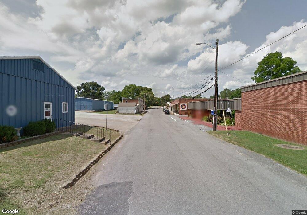
0 Main St E Unit RTC2433505 Loretto, TN 38469
Estimated Value: $88,000 - $140,000
Studio
--
Bath
--
Sq Ft
370,260
Sq Ft Lot
About This Home
This home is located at 0 Main St E Unit RTC2433505, Loretto, TN 38469 and is currently estimated at $114,000. 0 Main St E Unit RTC2433505 is a home located in Lawrence County with nearby schools including South Lawrence Elementary School, Lawrenceburg Public Elementary School, and Ingram Sowell Elementary School.
Ownership History
Date
Name
Owned For
Owner Type
Purchase Details
Closed on
May 16, 2025
Sold by
Methvin Ray E and Methvin Sondra
Bought by
Ray And Sondra Methvin Family Living Trust and Methvin
Current Estimated Value
Purchase Details
Closed on
Dec 21, 2012
Sold by
Blankenship Lola
Bought by
Blankenship Irrevocable Family
Purchase Details
Closed on
May 3, 2002
Bought by
Blankenship Henry and Blankenship Lola
Purchase Details
Closed on
Mar 10, 1994
Bought by
Carroll Jim and Carroll Jane
Purchase Details
Closed on
Sep 6, 1989
Bought by
Butler Joe and Butler Virginia
Purchase Details
Closed on
Oct 10, 1962
Bought by
Beckman Gregory A and Beckman Evelyn
Create a Home Valuation Report for This Property
The Home Valuation Report is an in-depth analysis detailing your home's value as well as a comparison with similar homes in the area
Purchase History
| Date | Buyer | Sale Price | Title Company |
|---|---|---|---|
| Ray And Sondra Methvin Family Living Trust | -- | None Listed On Document | |
| Ray And Sondra Methvin Family Living Trust | -- | None Listed On Document | |
| Blankenship Irrevocable Family | -- | -- | |
| Blankenship Henry | $35,000 | -- | |
| Carroll Jim | $25,000 | -- | |
| Butler Joe | $4,000 | -- | |
| Beckman Gregory A | -- | -- |
Source: Public Records
Tax History
| Year | Tax Paid | Tax Assessment Tax Assessment Total Assessment is a certain percentage of the fair market value that is determined by local assessors to be the total taxable value of land and additions on the property. | Land | Improvement |
|---|---|---|---|---|
| 2025 | -- | $12,000 | $11,600 | $400 |
| 2024 | -- | $12,000 | $11,600 | $400 |
| 2023 | $281 | $12,000 | $11,600 | $400 |
| 2022 | $281 | $12,000 | $11,600 | $400 |
| 2021 | $254 | $7,575 | $6,400 | $1,175 |
| 2020 | $254 | $7,575 | $6,400 | $1,175 |
| 2019 | $254 | $7,575 | $6,400 | $1,175 |
| 2018 | $251 | $7,575 | $6,400 | $1,175 |
| 2017 | $243 | $7,575 | $6,400 | $1,175 |
| 2016 | $243 | $7,575 | $6,400 | $1,175 |
| 2015 | $222 | $7,575 | $6,400 | $1,175 |
| 2014 | $207 | $7,075 | $6,400 | $675 |
Source: Public Records
Map
Nearby Homes
- 205 Dixon Branch Rd
- 205 Dixon Rd E
- 130 Beartown Rd
- 202 Vine St
- 412 Eells St
- 200 Church St
- 119 Horn Ave
- 211 Church St
- 118 Park St
- 456 S Military St
- 411 2nd Ave S
- 402 N Military St
- 109 2nd Ave N
- 219 Vine Cir
- 518 2nd Ave S
- 402 W Commerce St
- 109 Rascal Town Rd
- 502 N Main St
- 530 S Military St
- 176 Beartown Rd
- 510 E Main St
- 412 E Main St
- 40 Rylie Sophia Dr
- 401 Hillwood Dr
- 509 E Main St
- 400 E Main St
- 407 Hillwood Dr
- 406 Carrie Ln
- 406 E Main St
- 411 Hillwood Dr
- 502 Carrie Ln
- 404 Carrie Ln
- 402 Hillwood Dr
- 508 Carrie Ln
- 107 Miriam Way
- 400 Carrie Ln
- 501 Carrie Ln
- 503 Carrie Ln
- 505 Carrie Ln
- 408 Meadowview Terrace
Your Personal Tour Guide
Ask me questions while you tour the home.