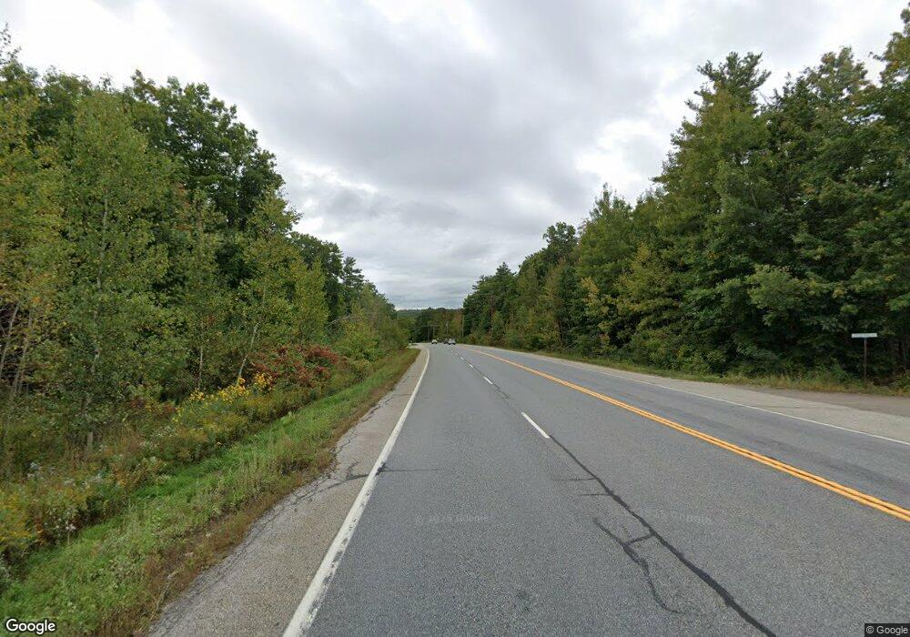
0 Maine (Map 1-38-1) St Unit 1402020 New Gloucester, ME 04260
--
Bed
--
Bath
--
Sq Ft
116.37
Acres
About This Home
This home is located at 0 Maine (Map 1-38-1) St Unit 1402020, New Gloucester, ME 04260. 0 Maine (Map 1-38-1) St Unit 1402020 is a home located in Cumberland County with nearby schools including Gray-New Gloucester High School.
Create a Home Valuation Report for This Property
The Home Valuation Report is an in-depth analysis detailing your home's value as well as a comparison with similar homes in the area
Home Values in the Area
Average Home Value in this Area
Tax History Compared to Growth
Map
Nearby Homes
- 423 Sabbathday Rd
- 14 Golden Way
- 24 Swamp Rd
- 26 Carpenter Rd
- 148 Spiller Hill Rd
- 161 Beaver Dam Dr
- 46-47D Hines Rd & Main St
- Lot 47D -C Hines Rd
- 80 Spiller Hill Rd
- 00 N Shore Rd
- 271 Bennett Rd
- TBD Targett Rd
- 22 Shaw Rd
- 4 Colonial Dr
- 0 Mountain Rd
- 255 Raymond Hill Rd
- 0 Gladstone Dr Unit 1642697
- 53 Westview Dr
- 343 Shaker Rd
- 325 N Raymond Rd
- TBA Maine St
- 626 Shaker Rd
- 604 Shaker Rd
- 615 Shaker Rd
- 600 Shaker Rd
- 607 Shaker Rd
- 11 Della Mill Rd
- 599 Shaker Rd
- 21 Della Mill Rd
- Lot #1 Della Mill Rd
- lot 36-4 Della Mill Rd
- 10 Della Mill Rd
- 8 Della Mill Rd
- 8 Della Mill Rd
- 585 Shaker Rd
- 613 Shaker Rd
- 50 Macdonald Dr
- 22 White Dove Dr
- 575 Shaker Rd
- 24 Della Mill Rd