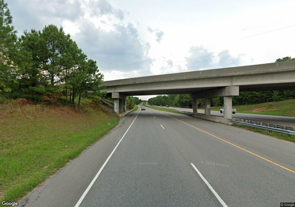
0 Nc 87 Hwy S Unit 652035 Cameron, NC 28326
Estimated Value: $100,523
--
Bed
--
Bath
--
Sq Ft
9
Acres
About This Home
This home is located at 0 Nc 87 Hwy S Unit 652035, Cameron, NC 28326 and is currently estimated at $100,523. 0 Nc 87 Hwy S Unit 652035 is a home located in Harnett County with nearby schools including Johnsonville Elementary School, Highland Middle School, and Western Harnett High School.
Ownership History
Date
Name
Owned For
Owner Type
Purchase Details
Closed on
Jun 21, 2022
Sold by
Harwell Charles W and Harwell Crystal C
Bought by
Lopez-Loza Fredyi and Lopez-Loza Elmer
Current Estimated Value
Purchase Details
Closed on
Jun 11, 2020
Sold by
Sauls John I and Sauls Martha M
Bought by
Harwell Charles W
Purchase Details
Closed on
May 12, 2011
Sold by
Oldham Frank Jeffrey and Oldham Leslie Ann
Bought by
Sauls John I and Sauls Martha M
Purchase Details
Closed on
Jan 12, 2007
Sold by
Mcneill David T and Mcneill Sandra B
Bought by
Sauls John L and Sauls Martha M
Create a Home Valuation Report for This Property
The Home Valuation Report is an in-depth analysis detailing your home's value as well as a comparison with similar homes in the area
Home Values in the Area
Average Home Value in this Area
Purchase History
| Date | Buyer | Sale Price | Title Company |
|---|---|---|---|
| Lopez-Loza Fredyi | $100,000 | None Listed On Document | |
| Lopez-Loza Fredyi | $100,000 | None Listed On Document | |
| Harwell Charles W | $125,000 | None Available | |
| Sauls John I | $85,000 | -- | |
| Sauls John L | $150,000 | None Available | |
| Mcneill David T | -- | None Available |
Source: Public Records
Tax History Compared to Growth
Tax History
| Year | Tax Paid | Tax Assessment Tax Assessment Total Assessment is a certain percentage of the fair market value that is determined by local assessors to be the total taxable value of land and additions on the property. | Land | Improvement |
|---|---|---|---|---|
| 2025 | $196 | $27,550 | $0 | $0 |
| 2024 | $196 | $27,550 | $0 | $0 |
| 2023 | $196 | $27,550 | $0 | $0 |
| 2022 | $229 | $95,160 | $0 | $0 |
| 2021 | $229 | $26,330 | $0 | $0 |
| 2020 | $229 | $26,330 | $0 | $0 |
| 2019 | $229 | $26,330 | $0 | $0 |
| 2018 | $224 | $26,330 | $0 | $0 |
| 2017 | $224 | $26,330 | $0 | $0 |
| 2016 | $149 | $17,550 | $0 | $0 |
| 2015 | -- | $17,550 | $0 | $0 |
| 2014 | -- | $17,550 | $0 | $0 |
Source: Public Records
Map
Nearby Homes
- 0 87n 24 Hwy Unit 401707
- 27 Bufford Ln
- 17246 Nc 27 W
- 0 Brooks Mangum Rd
- 00 Pine Wood Rd
- 366 Pineridge Dr
- 56 Briarwood Place
- 224 Pineridge Dr
- 48 Appleton Way
- 731 Bullard Rd
- 711 Bullard Rd
- 691 Bullard Rd
- 235 Lakeridge Dr
- 667 Bullard Rd
- 655 Bullard Rd
- 0 Johnsonville School Rd
- 648 Lakeridge Dr
- 15 Red Bird Dr
- 29 Red Bird Dr
- 64 Sweetbay Place
- 0 Nc 87 Hwy S Unit LP706446
- 0 Nc Hwy 87 S Unit 424218
- 0 Nc Hwy 87 S Unit 501174
- X111 Nc 87 Hwy
- 107 Horse Farm Ln
- 24 Old Nc 87
- 0000 Old Nc 87
- 175 Nc 87
- 4917 Nc 87 Hwy
- 000111000 Nc 87 Hwy
- 117 Briarforest Place
- 86 Briarforest Place
- 277 Horse Farm Ln
- 66 Briarforest Place
- 67 Briarforest Place
- 11 Briarforest Place
- 40 Briarforest Place
- 77 Highmeadow Dr
- 590 Stoney Creek Dr
- 64 Highmeadow Dr
