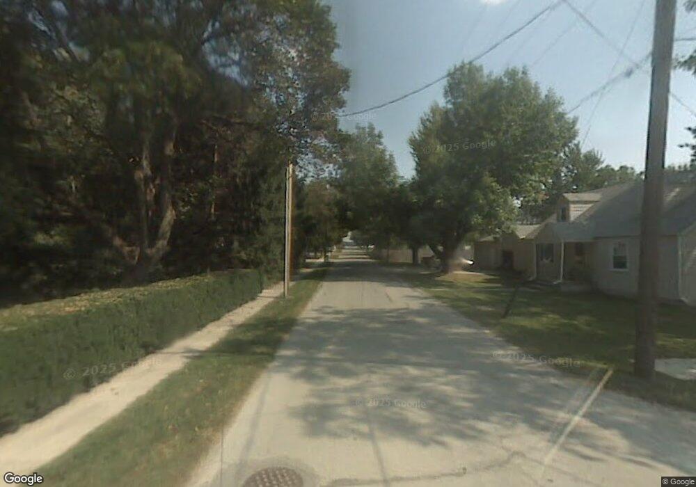
0 Oak St Weston, OH 43569
Estimated Value: $109,000 - $130,000
Studio
--
Bath
--
Sq Ft
10,890
Sq Ft Lot
About This Home
This home is located at 0 Oak St, Weston, OH 43569 and is currently estimated at $119,500. 0 Oak St is a home with nearby schools including Otsego Elementary School, Otsego Junior High School, and Otsego High School.
Ownership History
Date
Name
Owned For
Owner Type
Purchase Details
Closed on
Jan 26, 2024
Sold by
Mentrek Danielle M
Bought by
Mentrek Steven M
Current Estimated Value
Purchase Details
Closed on
Sep 12, 2014
Sold by
Boes Richard L
Bought by
Mentrek Steven A and Mentrek Danielle M
Home Financials for this Owner
Home Financials are based on the most recent Mortgage that was taken out on this home.
Original Mortgage
$116,375
Interest Rate
4.15%
Mortgage Type
New Conventional
Purchase Details
Closed on
Aug 3, 2011
Sold by
Dewalt Steven and Dewalt Linda
Bought by
Boes Richard L
Home Financials for this Owner
Home Financials are based on the most recent Mortgage that was taken out on this home.
Original Mortgage
$80,408
Interest Rate
4.54%
Mortgage Type
FHA
Purchase Details
Closed on
Mar 10, 1992
Bought by
Dewalt Steven D
Create a Home Valuation Report for This Property
The Home Valuation Report is an in-depth analysis detailing your home's value as well as a comparison with similar homes in the area
Purchase History
| Date | Buyer | Sale Price | Title Company |
|---|---|---|---|
| Mentrek Steven M | -- | None Listed On Document | |
| Mentrek Steven A | $122,667 | Port Lawrence Title & Trust | |
| Boes Richard L | $82,666 | Chicago Title | |
| Dewalt Steven D | -- | -- |
Source: Public Records
Mortgage History
| Date | Status | Borrower | Loan Amount |
|---|---|---|---|
| Previous Owner | Mentrek Steven A | $116,375 | |
| Previous Owner | Boes Richard L | $80,408 |
Source: Public Records
Tax History
| Year | Tax Paid | Tax Assessment Tax Assessment Total Assessment is a certain percentage of the fair market value that is determined by local assessors to be the total taxable value of land and additions on the property. | Land | Improvement |
|---|---|---|---|---|
| 2025 | $92 | $2,170 | $2,170 | -- |
| 2024 | $94 | $2,170 | $2,170 | -- |
| 2023 | $94 | $2,170 | $2,170 | $0 |
| 2021 | $103 | $2,170 | $2,170 | $0 |
| 2020 | $106 | $2,170 | $2,170 | $0 |
| 2019 | $110 | $2,170 | $2,170 | $0 |
| 2018 | $106 | $2,170 | $2,170 | $0 |
| 2017 | $103 | $2,170 | $2,170 | $0 |
| 2016 | $103 | $2,170 | $2,170 | $0 |
| 2015 | $107 | $2,170 | $2,170 | $0 |
| 2014 | -- | $2,170 | $2,170 | $0 |
| 2013 | $115 | $2,170 | $2,170 | $0 |
Source: Public Records
Map
Nearby Homes
- 20210 Oak St
- 13439 Ash St
- 20175 Taylor St
- 21490 Portage Rd
- 0 Otsego Pike Unit 6136991
- 0 Sand Ridge Rd Unit 10004038
- 22487 U S 6
- 17884 Euler Rd
- 15722 Range Line Rd
- 0 Portage Rd Unit 10004034
- 16313 Euler Rd
- 17267 Reams Rd
- 17345 Reams Rd
- 14590 Liberty Hi Rd
- 0 Kellogg Rd Unit 6125521
- 22759 Defiance Pike
- 16920 Long Judson Rd
- 16896 Long Judson Rd
- 916 Kathy Dr
- 1738 Dolly Dr
- 20380 Oak St
- 13330 Evergreen Ln
- 13340 Evergreen Ln
- 13270 Maple St
- 13350 Evergreen Ln
- 13275 Maple St
- 13325 Silver St
- 20350 Oak St
- 13280 Maple St
- 13335 Silver St
- 13265 Silver St
- 13265 Maple St
- 13345 Silver St
- 13250 Maple St
- 13360 Evergreen Ln
- 13245 Silver St
- 13255 Maple St
- 13355 Silver St
- 13350 Center St
- 13310 Silver St
Your Personal Tour Guide
Ask me questions while you tour the home.