0 Pheasant Ridge Clinton Township, MI 49236
Estimated Value: $265,000 - $381,619
3
Beds
2
Baths
1,600
Sq Ft
$192/Sq Ft
Est. Value
About This Home
This home is located at 0 Pheasant Ridge, Clinton Township, MI 49236 and is currently estimated at $307,873, approximately $192 per square foot. 0 Pheasant Ridge is a home located in Lenawee County with nearby schools including Clinton Elementary School, Clinton Middle School, and Clinton High School.
Ownership History
Date
Name
Owned For
Owner Type
Purchase Details
Closed on
Jan 26, 2018
Sold by
Finnis Sheila L
Bought by
Rorke Michael
Current Estimated Value
Home Financials for this Owner
Home Financials are based on the most recent Mortgage that was taken out on this home.
Original Mortgage
$157,102
Outstanding Balance
$134,298
Interest Rate
4.37%
Mortgage Type
FHA
Estimated Equity
$173,575
Purchase Details
Closed on
Oct 9, 2016
Sold by
Finnis Sheila L and Click Namon
Bought by
Finnis Sheila L
Purchase Details
Closed on
Jan 10, 1989
Bought by
Click Namon and Sheila L,
Create a Home Valuation Report for This Property
The Home Valuation Report is an in-depth analysis detailing your home's value as well as a comparison with similar homes in the area
Home Values in the Area
Average Home Value in this Area
Purchase History
| Date | Buyer | Sale Price | Title Company |
|---|---|---|---|
| Rorke Michael | $160,000 | -- | |
| Finnis Sheila L | -- | None Available | |
| Click Namon | -- | -- |
Source: Public Records
Mortgage History
| Date | Status | Borrower | Loan Amount |
|---|---|---|---|
| Open | Rorke Michael | $157,102 |
Source: Public Records
Tax History Compared to Growth
Tax History
| Year | Tax Paid | Tax Assessment Tax Assessment Total Assessment is a certain percentage of the fair market value that is determined by local assessors to be the total taxable value of land and additions on the property. | Land | Improvement |
|---|---|---|---|---|
| 2025 | $3,448 | $159,000 | $0 | $0 |
| 2024 | $1,307 | $148,000 | $0 | $0 |
| 2022 | $2,890 | $115,500 | $0 | $0 |
| 2021 | $2,852 | $110,900 | $0 | $0 |
| 2020 | $2,818 | $105,300 | $0 | $0 |
| 2019 | $244,445 | $95,900 | $0 | $0 |
| 2018 | $2,396 | $92,374 | $0 | $0 |
| 2017 | $2,218 | $84,323 | $0 | $0 |
| 2016 | $2,215 | $83,237 | $0 | $0 |
| 2014 | -- | $100,194 | $0 | $0 |
Source: Public Records
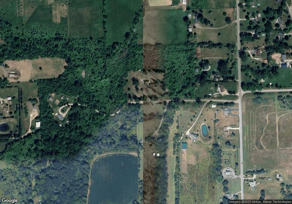
Map
Nearby Homes
- 11481 N Adrian Hwy
- 11800 N Adrian Hwy
- 9000 Matthews Hwy
- 317 Clark St
- 317 Clark St Unit B
- 1351 Taylor Rd
- 112 Gibson St
- 310 Colebrook Dr
- 103 W Michigan Ave
- 118 Litchfield St
- 111 Washington St
- 116 Currier St
- 9402 Pleasant Dr
- 112 Cass Ave
- 2905 E Munger Rd
- 0 BLK Pleasant Dr
- 10000 Meads Hwy
- 9410 Newburg Ct
- 9295 Newburg Hwy
- 609 Red Maple Dr
- 11115 Pheasant Ridge
- 11128 Pheasant Ridge Dr
- 11128 Pheasant Ridge Dr
- 11147 Pheasant Ridge Dr
- 11150 Pheasant Ridge Dr
- 11185 Pheasant Ridge Dr
- 11185 Pheasant Ridge Dr
- 11115 Pheasant Ridge Dr
- 1601 Hogan Hwy
- 11154 Matthews Hwy
- 0 Matthews Hwy
- 11140 Matthews Hwy
- 11096 Matthews Hwy
- 11200 Matthews Hwy
- 11313 Matthews Hwy
- 11315 Matthews Hwy
- 11317 Matthews Hwy
- 11521 Matthews Hwy
- 11137 Pheasant Ridge Dr
- 11321 Matthews Hwy