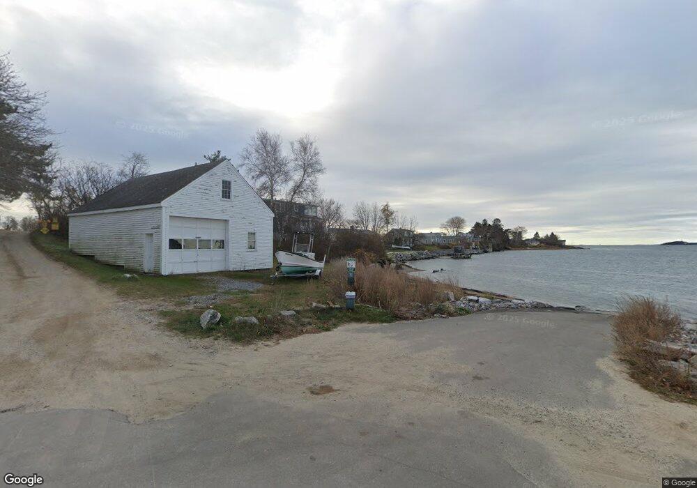
0 Pott's Point Harpswell, ME 04079
Harpswell Neck Neighborhood
2
Beds
1
Bath
--
Sq Ft
3,485
Sq Ft Lot
About This Home
This home is located at 0 Pott's Point, Harpswell, ME 04079. 0 Pott's Point is a home located in Cumberland County with nearby schools including Mt Ararat High School.
Create a Home Valuation Report for This Property
The Home Valuation Report is an in-depth analysis detailing your home's value as well as a comparison with similar homes in the area
Home Values in the Area
Average Home Value in this Area
Tax History Compared to Growth
Map
Nearby Homes
- 1906 Harpswell Neck Rd
- 10 S Colony Branch Rd
- 197 Ash Point Rd
- 14 Merriconeag Ln
- 12 Ash Cove Rd S
- 43 W Shore Rd
- 23 Stovers Point Rd
- 68 W Shore Rd
- 10 Irene Ave
- 4 Linnell Dr
- 3 Linnell Dr
- 20 Spruce Ledge Rd
- 8 Linnel Dr
- 30 Barker Point Rd
- 161 Basin Point Rd
- 1496 Harpswell Neck Rd
- 30 Osbourne Row
- 6 Merritt House Rd Unit 20
- 6 Merritt House Rd Unit 30
- 7 Leeman Rd
- 0 Potts Point
- 8 Potts Point Rd
- 8 Evergreen Ave
- 7 Evergreen Rd
- 11 Potts Point Rd
- 1984 Harpswell Neck Rd
- 7 Evergreen Ave
- 22 Potts Point Rd
- 31 Hurricane Ridge Rd
- 1974 Harpswell Neck Rd
- 9 Evergreen Ave
- 14 Evergreen Ave
- 11 Evergreen Ave
- 19 Potts Point Rd
- 26 Potts Point Rd
- 13 Evergreen Ave
- 8 Ram Island Way
- 29 Hurricane Ridge Rd
- 16 Evergreen Ave
- 4 Ram Island Way